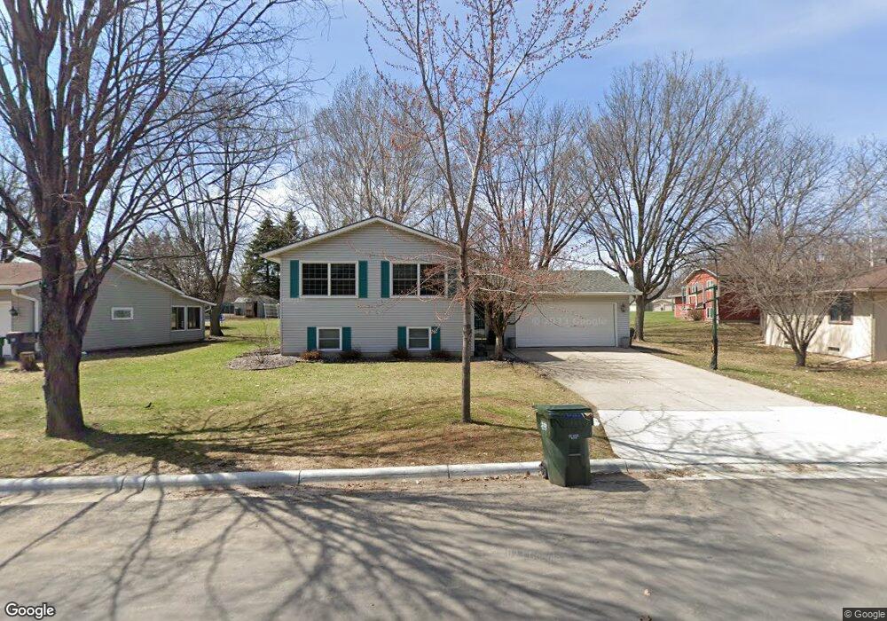
934 934 Keith-Street-sw Hutchinson, MN 55350
Estimated Value: $286,000 - $330,000
4
Beds
2
Baths
1,203
Sq Ft
$256/Sq Ft
Est. Value
About This Home
This home is located at 934 934 Keith-Street-sw, Hutchinson, MN 55350 and is currently estimated at $307,521, approximately $255 per square foot. 934 934 Keith-Street-sw is a home located in McLeod County with nearby schools including Hutchinson West Elementary School, Hutchinson Park Elementary School, and Hutchinson Middle School.
Ownership History
Date
Name
Owned For
Owner Type
Purchase Details
Closed on
Jun 26, 2014
Sold by
Bernard P Bernard P and Miner Janice L
Bought by
Troyer Matthew R and Troyer Stephanie M
Current Estimated Value
Home Financials for this Owner
Home Financials are based on the most recent Mortgage that was taken out on this home.
Original Mortgage
$128,000
Outstanding Balance
$95,978
Interest Rate
3.75%
Mortgage Type
New Conventional
Estimated Equity
$211,543
Create a Home Valuation Report for This Property
The Home Valuation Report is an in-depth analysis detailing your home's value as well as a comparison with similar homes in the area
Home Values in the Area
Average Home Value in this Area
Purchase History
| Date | Buyer | Sale Price | Title Company |
|---|---|---|---|
| Troyer Matthew R | -- | -- |
Source: Public Records
Mortgage History
| Date | Status | Borrower | Loan Amount |
|---|---|---|---|
| Open | Troyer Matthew R | $128,000 |
Source: Public Records
Tax History Compared to Growth
Tax History
| Year | Tax Paid | Tax Assessment Tax Assessment Total Assessment is a certain percentage of the fair market value that is determined by local assessors to be the total taxable value of land and additions on the property. | Land | Improvement |
|---|---|---|---|---|
| 2024 | $4,038 | $249,800 | $42,300 | $207,500 |
| 2023 | $4,200 | $251,700 | $42,300 | $209,400 |
| 2022 | $2,984 | $239,400 | $40,300 | $199,100 |
| 2021 | $2,774 | $194,700 | $35,200 | $159,500 |
| 2020 | $2,668 | $175,200 | $32,100 | $143,100 |
| 2019 | $2,412 | $165,500 | $32,100 | $133,400 |
| 2018 | $2,186 | $0 | $0 | $0 |
| 2017 | $2,034 | $0 | $0 | $0 |
| 2016 | $1,908 | $0 | $0 | $0 |
| 2015 | $1,720 | $0 | $0 | $0 |
| 2014 | -- | $0 | $0 | $0 |
Source: Public Records
Map
Nearby Homes
- 735 Sunset St SW
- 724 Southview Dr SW
- 702 Southview Ct SW
- 1031 Blackbird Trail SW Unit 10
- 1095 Blackbird Trail SW
- 1020 Roberts Rd SW
- 667 Madson Ave SW
- 595 Milwaukee Ave SW
- 642 Juul Rd SW
- 966 Osgood Ave SW
- 570 Lynn Rd SW
- 616 Brown St SW
- 545 4th Ave SW
- 805 Franklin St SW
- 569 Glen St SW
- 250 Freemont Ave SE Unit 106
- 250 Freemont Ave SE Unit 113
- 250 Freemont Ave SE Unit 136
- 310 & 312 4th Ave SW
- 230 Lynn Rd SW
- 934 Keith St SW
- 934 934 Keith St SW
- 924 Keith St SW
- 944 Keith St SW
- 944 944 Keith St SW
- 914 Neal Ave SW
- 925 Keith St SW
- 925 925 Keith St SW
- 935 Keith St SW
- 945 Keith St SW
- 954 Keith St SW
- 814 Neal Ave SW
- 905 905 Neal Ave SW
- 915 S Grade Rd SW
- 915 S Grade Rd SW
- 955 Keith St SW
- 955 955 Keith St SW
- 911 Neal Ave SW
- 915 Neal Ave SW
- 905 Neal Ave SW