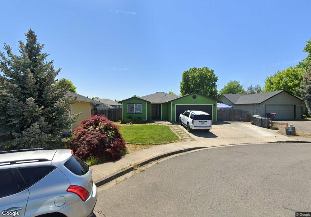
934 Fairfield Cir Central Point, OR 97502
Estimated Value: $337,000 - $371,000
3
Beds
2
Baths
1,271
Sq Ft
$280/Sq Ft
Est. Value
About This Home
This home is located at 934 Fairfield Cir, Central Point, OR 97502 and is currently estimated at $356,103, approximately $280 per square foot. 934 Fairfield Cir is a home located in Jackson County with nearby schools including Central Point Elementary School, Scenic Middle School, and Crater High School.
Ownership History
Date
Name
Owned For
Owner Type
Purchase Details
Closed on
Apr 23, 2002
Sold by
Copple Jon C and Copple Mary E
Bought by
Dwyer William R
Current Estimated Value
Home Financials for this Owner
Home Financials are based on the most recent Mortgage that was taken out on this home.
Original Mortgage
$130,555
Outstanding Balance
$55,163
Interest Rate
7.08%
Mortgage Type
FHA
Estimated Equity
$300,940
Create a Home Valuation Report for This Property
The Home Valuation Report is an in-depth analysis detailing your home's value as well as a comparison with similar homes in the area
Home Values in the Area
Average Home Value in this Area
Purchase History
| Date | Buyer | Sale Price | Title Company |
|---|---|---|---|
| Dwyer William R | $132,400 | First American Title Ins Co |
Source: Public Records
Mortgage History
| Date | Status | Borrower | Loan Amount |
|---|---|---|---|
| Open | Dwyer William R | $130,555 |
Source: Public Records
Tax History Compared to Growth
Tax History
| Year | Tax Paid | Tax Assessment Tax Assessment Total Assessment is a certain percentage of the fair market value that is determined by local assessors to be the total taxable value of land and additions on the property. | Land | Improvement |
|---|---|---|---|---|
| 2025 | $3,182 | $191,360 | $72,080 | $119,280 |
| 2024 | $3,182 | $185,790 | $69,980 | $115,810 |
| 2023 | $3,079 | $180,380 | $67,940 | $112,440 |
| 2022 | $3,007 | $180,380 | $67,940 | $112,440 |
| 2021 | $2,921 | $175,130 | $65,960 | $109,170 |
| 2020 | $2,836 | $170,030 | $64,040 | $105,990 |
| 2019 | $2,766 | $160,280 | $60,360 | $99,920 |
| 2018 | $2,682 | $155,620 | $58,600 | $97,020 |
| 2017 | $2,615 | $155,620 | $58,600 | $97,020 |
| 2016 | $2,538 | $146,690 | $55,230 | $91,460 |
| 2015 | $2,432 | $146,690 | $55,230 | $91,460 |
| 2014 | $2,370 | $138,280 | $52,060 | $86,220 |
Source: Public Records
Map
Nearby Homes
- 921 Pittview Ave
- 1017 Fairfield Ave
- 1060 Hopkins Rd
- 928 Brandi Way
- 851 Juanita Way
- 1025 Fairfield Ave
- 881 Westrop Dr
- 3364 Bursell Rd
- 3358 Bursell Rd
- 3496 Edella St
- 571 Briarwood Dr
- 1065 Edwina Ave
- 659 Herman Ave
- 745 Herman Ave
- 3119 Merriman Rd
- 555 Freeman Rd Unit 128
- 555 Freeman Rd Unit 146
- 555 Freeman Rd Unit 204
- 555 Freeman Rd Unit 209
- 460 Federal Way
- 936 Fairfield Cir
- 932 Fairfield Cir
- 938 Fairfield Cir
- 955 Pittview Ave
- 928 Fairfield Cir
- 943 Pittview Ave
- 997 Pittview Ave
- 935 Pittview Ave
- 942 Fairfield Cir
- 937 Fairfield Cir
- 931 Fairfield Cir
- 935 Fairfield Cir
- 664 Pittview Ave
- 664 Pittview Ave
- 1105 Coachman Dr
- 933 Fairfield Cir
- 939 Fairfield Cir
- 950 Pittview Ave
- 934 Pittview Ave
- 0 Pittview Ave