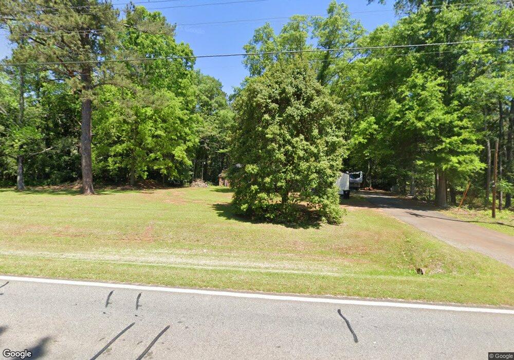
934 Jeff Davis Rd Thomaston, GA 30286
Estimated Value: $180,158 - $292,000
3
Beds
1
Bath
1,986
Sq Ft
$120/Sq Ft
Est. Value
About This Home
This home is located at 934 Jeff Davis Rd, Thomaston, GA 30286 and is currently estimated at $238,790, approximately $120 per square foot. 934 Jeff Davis Rd is a home located in Upson County with nearby schools including Upson-Lee South Elementary School, Upson-Lee North Elementary School, and Upson-Lee Middle School.
Ownership History
Date
Name
Owned For
Owner Type
Purchase Details
Closed on
Sep 26, 2019
Sold by
Kelley Charlotte Estate
Bought by
Thomas Samantha Lynn and Carvalho Edward Gil
Current Estimated Value
Purchase Details
Closed on
Sep 16, 2013
Sold by
Kelley Dan William
Bought by
Kelley Dan William and Kelly Charlotte Mcgahee Dukes
Purchase Details
Closed on
Mar 26, 2008
Sold by
Mcgahee John J
Bought by
Kelley Dan William
Create a Home Valuation Report for This Property
The Home Valuation Report is an in-depth analysis detailing your home's value as well as a comparison with similar homes in the area
Home Values in the Area
Average Home Value in this Area
Purchase History
| Date | Buyer | Sale Price | Title Company |
|---|---|---|---|
| Thomas Samantha Lynn | $14,000 | -- | |
| Kelley Dan William | $20,000 | -- | |
| Kelley Dan William | $20,000 | -- |
Source: Public Records
Tax History
| Year | Tax Paid | Tax Assessment Tax Assessment Total Assessment is a certain percentage of the fair market value that is determined by local assessors to be the total taxable value of land and additions on the property. | Land | Improvement |
|---|---|---|---|---|
| 2025 | $1,348 | $52,374 | $19,805 | $32,569 |
| 2024 | $1,348 | $48,045 | $16,504 | $31,541 |
| 2023 | $1,201 | $46,347 | $16,504 | $29,842 |
| 2022 | $533 | $19,226 | $8,994 | $10,232 |
| 2021 | $347 | $13,168 | $8,994 | $4,174 |
| 2020 | $158 | $11,753 | $7,752 | $4,001 |
| 2019 | $402 | $13,125 | $9,384 | $3,741 |
| 2018 | $402 | $13,125 | $9,384 | $3,741 |
| 2017 | $400 | $11,884 | $9,384 | $2,500 |
| 2016 | $350 | $10,232 | $7,820 | $2,412 |
| 2015 | $350 | $10,233 | $7,820 | $2,412 |
| 2014 | $427 | $12,456 | $9,991 | $2,465 |
Source: Public Records
Map
Nearby Homes
- 134 Church Rd
- 47 Hill Crest Dr
- 109 Salter Rd
- 19 Fallin Rd
- 318 North St
- 215 Denham St
- 2540 Hannahs Mill Rd
- 0 Glenwood Dr Unit 10568562
- 124 Bradshaw Rd
- 121 Salbar St
- 146 Burkett Rd
- 121 David Dr
- 202 Daniel Rd
- 2037 Jeff Davis Rd
- 124 Brookfield Dr
- 107 Maynard St
- 228 R St NW
- 719 9th Ave
- 101 Pineview Dr
- 0 9th Ave Unit 10500756
- 914 Jeff Davis Rd
- 898 Jeff Davis Rd
- 901 Jeff Davis Rd
- 212 Heather Dr
- 000 Baker Britt Rd
- 0 Baker Britt Rd Unit 10276283
- 0 Baker Britt Rd Unit 183750
- 0 Baker Britt Rd Unit 3228608
- 0 Baker Britt Rd Unit 3209339
- 0 Baker Britt Rd Unit 7381663
- 0 Baker Britt Rd Unit 8031501
- 0 Baker Britt Rd Unit 7336990
- 0 Baker Britt Rd Unit 8996466
- 0 Baker Britt Rd Unit L 8926594
- 0 Baker Britt Rd Unit Tracts 4 8840380
- 0 Baker Britt Rd Unit Tracts 2 8799982
- 0 Baker Britt Rd Unit Tracts 9 8800000
- 0 Baker Britt Rd Unit Tracts 12 8800011
- 0 Baker Britt Rd Unit Tracts 6 8799994
- 0 Baker Britt Rd Unit Tracts 10 8800008
Your Personal Tour Guide
Ask me questions while you tour the home.