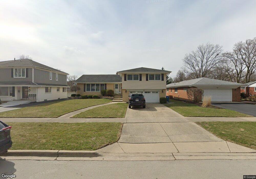
934 S Kent Ave Elmhurst, IL 60126
Estimated Value: $698,000 - $814,000
--
Bed
--
Bath
2,219
Sq Ft
$348/Sq Ft
Est. Value
About This Home
This home is located at 934 S Kent Ave, Elmhurst, IL 60126 and is currently estimated at $772,434, approximately $348 per square foot. 934 S Kent Ave is a home located in DuPage County with nearby schools including Pulaski Intl School of Chicago, Revere Elementary School, and Jackson Elementary School.
Ownership History
Date
Name
Owned For
Owner Type
Purchase Details
Closed on
Feb 19, 2025
Sold by
Ostling Carol A
Bought by
Ostling Family Land Trust and Ostling
Current Estimated Value
Purchase Details
Closed on
Nov 15, 2000
Sold by
Hermach Kenneth W and Hermach Kathleen M
Bought by
Ostling Harold B and Ostling Carol A
Home Financials for this Owner
Home Financials are based on the most recent Mortgage that was taken out on this home.
Original Mortgage
$75,000
Interest Rate
7.86%
Create a Home Valuation Report for This Property
The Home Valuation Report is an in-depth analysis detailing your home's value as well as a comparison with similar homes in the area
Home Values in the Area
Average Home Value in this Area
Purchase History
| Date | Buyer | Sale Price | Title Company |
|---|---|---|---|
| Ostling Family Land Trust | -- | First American Title Insurance | |
| Ostling Harold B | $346,500 | -- |
Source: Public Records
Mortgage History
| Date | Status | Borrower | Loan Amount |
|---|---|---|---|
| Previous Owner | Ostling Harold B | $75,000 |
Source: Public Records
Tax History Compared to Growth
Tax History
| Year | Tax Paid | Tax Assessment Tax Assessment Total Assessment is a certain percentage of the fair market value that is determined by local assessors to be the total taxable value of land and additions on the property. | Land | Improvement |
|---|---|---|---|---|
| 2024 | $13,295 | $236,600 | $115,083 | $121,517 |
| 2023 | $12,311 | $218,790 | $106,420 | $112,370 |
| 2022 | $12,087 | $210,330 | $102,310 | $108,020 |
| 2021 | $11,782 | $205,100 | $99,770 | $105,330 |
| 2020 | $11,321 | $200,600 | $97,580 | $103,020 |
| 2019 | $11,070 | $190,720 | $92,770 | $97,950 |
| 2018 | $10,503 | $180,540 | $87,810 | $92,730 |
| 2017 | $10,261 | $172,040 | $83,680 | $88,360 |
| 2016 | $10,028 | $162,070 | $78,830 | $83,240 |
| 2015 | $9,908 | $150,990 | $73,440 | $77,550 |
| 2014 | $10,367 | $145,520 | $58,300 | $87,220 |
| 2013 | $10,259 | $147,570 | $59,120 | $88,450 |
Source: Public Records
Map
Nearby Homes
- 162 E Hale St
- 100 W Butterfield Rd Unit 112N
- 110 W Butterfield Rd Unit 502S
- 837 S Kearsage Ave
- 900 S Colfax Ave
- 936 S Mitchell Ave
- 1005 S Mitchell Ave
- 995 S Swain Ave
- 991 S Swain Ave
- 353 E Butterfield Rd
- 185 E Oneida Ave
- 963 S Saylor Ave
- 694 S York St
- 15W320 Concord St
- 680 S Bryan St
- 814 S Saylor Ave
- 175 W Brush Hill Rd Unit 404
- 341 E Madison St
- 801 S Spring Rd
- 805 S Spring Rd
- 940 S Kent Ave
- 920 S Kent Ave
- 118 E Van Buren St
- 944 S Kent Ave
- 933 S Euclid Ave
- 941 S Euclid Ave
- 929 S Euclid Ave
- 948 S Kent Ave
- 106 E Van Buren St
- 945 S Euclid Ave
- 933 S Kent Ave
- 937 S Kent Ave
- 929 S Kent Ave
- 941 S Kent Ave
- 949 S Euclid Ave
- 132 E Van Buren St
- 119 E Van Buren St
- 954 S Kent Ave
- 947 S Kent Ave
- 105 E Van Buren St