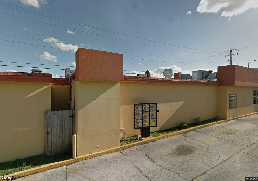
9344 Highway 49 Gulfport, MS 39503
Estimated Value: $764,992
--
Bed
--
Bath
1,413
Sq Ft
$541/Sq Ft
Est. Value
About This Home
This home is located at 9344 Highway 49, Gulfport, MS 39503 and is currently estimated at $764,992, approximately $541 per square foot. 9344 Highway 49 is a home located in Harrison County with nearby schools including Harrison Central Elementary School, Orange Grove Elementary School, and West Harrison High School.
Ownership History
Date
Name
Owned For
Owner Type
Purchase Details
Closed on
Jun 28, 2019
Sold by
Vision Property Developers Llc
Bought by
Lin Wan Ru
Current Estimated Value
Home Financials for this Owner
Home Financials are based on the most recent Mortgage that was taken out on this home.
Original Mortgage
$400,000
Outstanding Balance
$48,760
Interest Rate
3.9%
Mortgage Type
New Conventional
Estimated Equity
$716,232
Create a Home Valuation Report for This Property
The Home Valuation Report is an in-depth analysis detailing your home's value as well as a comparison with similar homes in the area
Home Values in the Area
Average Home Value in this Area
Purchase History
| Date | Buyer | Sale Price | Title Company |
|---|---|---|---|
| Lin Wan Ru | -- | Integrity Land Title |
Source: Public Records
Mortgage History
| Date | Status | Borrower | Loan Amount |
|---|---|---|---|
| Open | Lin Wan Ru | $400,000 |
Source: Public Records
Tax History Compared to Growth
Tax History
| Year | Tax Paid | Tax Assessment Tax Assessment Total Assessment is a certain percentage of the fair market value that is determined by local assessors to be the total taxable value of land and additions on the property. | Land | Improvement |
|---|---|---|---|---|
| 2024 | $4,772 | $40,107 | $0 | $0 |
| 2023 | $4,831 | $40,420 | $0 | $0 |
| 2022 | $4,861 | $40,420 | $0 | $0 |
| 2021 | $4,877 | $40,420 | $0 | $0 |
| 2020 | $4,982 | $39,987 | $0 | $0 |
| 2019 | $5,012 | $39,987 | $0 | $0 |
| 2018 | $5,051 | $39,987 | $0 | $0 |
| 2017 | $5,050 | $39,987 | $0 | $0 |
| 2015 | $5,068 | $39,460 | $0 | $0 |
| 2014 | -- | $58,835 | $0 | $0 |
| 2013 | -- | $39,460 | $29,063 | $10,397 |
Source: Public Records
Map
Nearby Homes
- 15130 Highway 49
- 0 Turkey Creek Dr Unit 4123525
- 0 Evans St
- 0 18th Ave
- 98 Russell Blvd
- 79 Holly Cir
- 9437 Creosote Rd
- 0 I-10 Unit 4085709
- 15030 Polk St
- 0 Ohio Ave Unit 4120328
- 0 Louisiana Ave Unit 4117356
- 8328 S Carolina Ave
- 14991 Rowan Oak St
- 14987 Rowan Oak St
- Parker III Plan at The Grove
- Parker II Plan at The Grove
- 14975 Rowan Oak St
- 14990 Rowan Oak St
- 14986 Rowan Oak St
- 14967 Rowan Oak St
- 9350 Highway 49
- LOT 12 Lot 12 Highway 49
- 9305 U S 49
- 9305 Highway 49
- 9293 Highway 49
- 00 Highway 49 Hwy
- 9277 Highway 49
- 9265 Highway 49
- 9415 Highway 49
- 9435 Highway 49
- 9245 Highway 49
- 15151 Airport Rd
- 9442 Highway 49
- 0 Poole St
- 15163 Mellenger St
- 9284 Old Highway 49
- 15173 Mellenger St
- 15179 Mellenger St
- 15255 Poole St
- 0 Turkey Creek Dr Unit 4059222