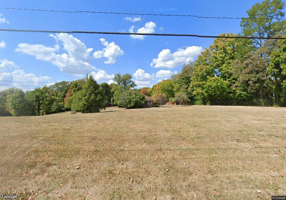
9344 Porter Rd Ryland Hght, KY 41015
Estimated Value: $470,767
3
Beds
2
Baths
1,592
Sq Ft
$296/Sq Ft
Est. Value
About This Home
This home is located at 9344 Porter Rd, Ryland Hght, KY 41015 and is currently estimated at $470,767, approximately $295 per square foot. 9344 Porter Rd is a home located in Kenton County with nearby schools including Ryland Heights Elementary School, Woodland Middle School, and Scott High School.
Ownership History
Date
Name
Owned For
Owner Type
Purchase Details
Closed on
Jul 26, 2017
Sold by
Scharold Justus W
Bought by
Scharold Family Preservation Trust
Current Estimated Value
Purchase Details
Closed on
Nov 6, 2000
Sold by
Cahill Gregory L
Bought by
Scharold Thomas and Scharold Cynthia
Home Financials for this Owner
Home Financials are based on the most recent Mortgage that was taken out on this home.
Original Mortgage
$121,500
Interest Rate
7.94%
Mortgage Type
New Conventional
Create a Home Valuation Report for This Property
The Home Valuation Report is an in-depth analysis detailing your home's value as well as a comparison with similar homes in the area
Home Values in the Area
Average Home Value in this Area
Purchase History
| Date | Buyer | Sale Price | Title Company |
|---|---|---|---|
| Scharold Family Preservation Trust | $236,500 | None Available | |
| Scharold Thomas | $241,500 | -- |
Source: Public Records
Mortgage History
| Date | Status | Borrower | Loan Amount |
|---|---|---|---|
| Previous Owner | Scharold Thomas | $121,500 |
Source: Public Records
Tax History Compared to Growth
Tax History
| Year | Tax Paid | Tax Assessment Tax Assessment Total Assessment is a certain percentage of the fair market value that is determined by local assessors to be the total taxable value of land and additions on the property. | Land | Improvement |
|---|---|---|---|---|
| 2024 | $2,769 | $272,400 | $27,400 | $245,000 |
| 2023 | $2,861 | $272,400 | $27,400 | $245,000 |
| 2022 | $3,011 | $272,400 | $27,400 | $245,000 |
| 2021 | $3,065 | $272,400 | $27,400 | $245,000 |
| 2020 | $2,901 | $256,500 | $12,700 | $243,800 |
| 2019 | $2,909 | $256,500 | $12,700 | $243,800 |
| 2018 | $2,947 | $256,500 | $12,700 | $243,800 |
| 2017 | $3,102 | $236,500 | $12,700 | $223,800 |
| 2015 | $3,237 | $254,500 | $111,500 | $143,000 |
| 2014 | $3,173 | $254,500 | $111,500 | $143,000 |
Source: Public Records
Map
Nearby Homes
- 3155 Drew Ln
- 203-B Decoursey Pike
- 9670 Decoursey Pike
- 5867 Southpointe Ln
- 451 Spencely Ct
- 489 Elm Rd
- 3832 Stewart Dr
- 5809 Taylor Mill Rd
- 5484 Taylor Mill Rd
- 0 Licking Pike Unit 637023
- 714 Saint Matthews Cir
- 3563 Capel Ct
- 1477 Hands Pike
- 721 Vincent Dr
- 10080 Marshall Rd
- BUCHANAN Plan at Ashford Village
- ALDEN Plan at Ashford Village
- VALE Plan at Ashford Village
- ALWICK Plan at Ashford Village
- QUENTIN Plan at Ashford Village
- 9328 Porter Rd
- 9327 Porter Rd
- 9414 Porter Rd
- 4472 Feiser Rd
- 4432 Feiser Rd
- 9364 Porter Rd
- 9242 Porter Rd
- 9442 Porter Rd
- 9216 Porter Rd
- 4492 Feiser Rd
- 4476 Feiser Rd
- 9251 Porter Rd
- 9454 Porter Rd
- 4508 Feiser Rd
- 9249 Porter Rd
- 4452 Feiser Rd Unit 4526
- 4526 Feiser Rd
- 9204 Porter Rd
- 9233 Porter Rd
- 9208 Porter Rd
