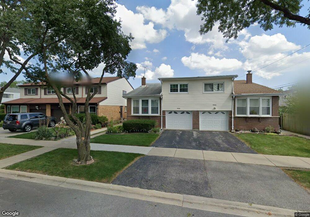
9345 Maple Ln Des Plaines, IL 60016
Estimated Value: $399,959 - $418,000
4
Beds
3
Baths
1,916
Sq Ft
$213/Sq Ft
Est. Value
About This Home
This home is located at 9345 Maple Ln, Des Plaines, IL 60016 and is currently estimated at $408,740, approximately $213 per square foot. 9345 Maple Ln is a home located in Cook County with nearby schools including Mark Twain Elementary School, Gemini Middle School, and Maine East High School.
Ownership History
Date
Name
Owned For
Owner Type
Purchase Details
Closed on
Apr 30, 1997
Sold by
Dubinsky Dmitry and Dubinsky Irena
Bought by
Patel Harshad M and Patel Ilaben H
Current Estimated Value
Home Financials for this Owner
Home Financials are based on the most recent Mortgage that was taken out on this home.
Original Mortgage
$60,000
Interest Rate
8.27%
Mortgage Type
Balloon
Create a Home Valuation Report for This Property
The Home Valuation Report is an in-depth analysis detailing your home's value as well as a comparison with similar homes in the area
Home Values in the Area
Average Home Value in this Area
Purchase History
| Date | Buyer | Sale Price | Title Company |
|---|---|---|---|
| Patel Harshad M | $147,000 | Attorneys Natl Title Network |
Source: Public Records
Mortgage History
| Date | Status | Borrower | Loan Amount |
|---|---|---|---|
| Closed | Patel Harshad M | $60,000 |
Source: Public Records
Tax History
| Year | Tax Paid | Tax Assessment Tax Assessment Total Assessment is a certain percentage of the fair market value that is determined by local assessors to be the total taxable value of land and additions on the property. | Land | Improvement |
|---|---|---|---|---|
| 2025 | $3,778 | $36,000 | $5,524 | $30,476 |
| 2024 | $3,778 | $30,999 | $4,999 | $26,000 |
| 2023 | $3,707 | $30,999 | $4,999 | $26,000 |
| 2022 | $3,707 | $30,999 | $4,999 | $26,000 |
| 2021 | $4,606 | $20,663 | $3,069 | $17,594 |
| 2020 | $4,434 | $20,663 | $3,069 | $17,594 |
| 2019 | $4,529 | $22,959 | $3,069 | $19,890 |
| 2018 | $4,492 | $20,791 | $2,685 | $18,106 |
| 2017 | $4,794 | $21,885 | $2,685 | $19,200 |
| 2016 | $4,982 | $21,885 | $2,685 | $19,200 |
| 2015 | $4,757 | $18,012 | $2,301 | $15,711 |
| 2014 | $5,207 | $20,024 | $2,301 | $17,723 |
| 2013 | $5,104 | $20,024 | $2,301 | $17,723 |
Source: Public Records
Map
Nearby Homes
- 9446 Dee Rd Unit 2F
- 9500 Dee Rd Unit 202B
- 9356 N Parkside Dr
- 9561 Dee Rd Unit 2D
- 9546 Dee Rd Unit 1F
- 9575 Terrace Place Unit 206F
- 9588 Terrace Place Unit 1F
- 9588 Terrace Place Unit 1C
- 9588 N Terrace Place Unit 208H
- 9209 Potter Rd Unit 2F
- 9412 Margail Ave
- 8809 W Golf Rd Unit 7H
- 9241 W Ballard Rd Unit 107
- 9619 Bianco Terrace Unit D
- 9413 Meadow Ln
- 9319 Knight Ave
- 9074 W Terrace Dr Unit 4N
- 9098 W Terrace Dr Unit 1L
- 9128 W Terrace Dr Unit 2D
- 9128 W Terrace Dr Unit 3M
- 9341 Maple Ln
- 9349 Maple Ln
- 9353 Maple Ln
- 9100 W Oaks Ave
- 9076 W Oaks Ave
- 9104 W Oaks Ave Unit 1
- 9346 Fern Ln
- 9342 Fern Ln
- 9350 Fern Ln
- 9072 W Oaks Ave
- 9354 Fern Ln
- 9354 Fern Ln Unit 16
- 9109 Hollyberry Ave
- 9113 Hollyberry Ave
- 9105 Hollyberry Ave
- 9068 W Oaks Ave
- 9101 Hollyberry Ave
- 9064 W Oaks Ave
- 9069 Hollyberry Ave
- 9116 W Oaks Ave
Your Personal Tour Guide
Ask me questions while you tour the home.