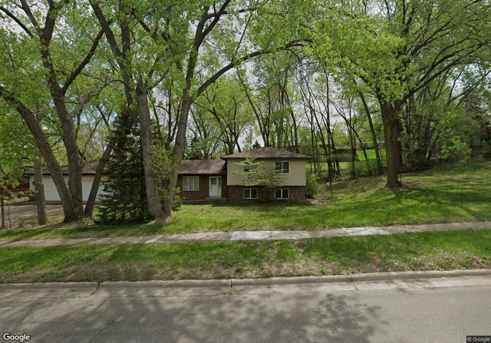
9345 Poplar Bridge Rd Bloomington, MN 55437
West Bloomington NeighborhoodEstimated Value: $485,000 - $589,000
3
Beds
3
Baths
2,848
Sq Ft
$189/Sq Ft
Est. Value
About This Home
This home is located at 9345 Poplar Bridge Rd, Bloomington, MN 55437 and is currently estimated at $537,909, approximately $188 per square foot. 9345 Poplar Bridge Rd is a home located in Hennepin County with nearby schools including Normandale Hills Elementary School, Oak Grove Middle School, and Jefferson Senior High School.
Ownership History
Date
Name
Owned For
Owner Type
Purchase Details
Closed on
Oct 8, 2020
Sold by
Teigen Jerome D and Teigen Vickie L
Bought by
Scamp Theodore H E and Kielblock Shannon J
Current Estimated Value
Home Financials for this Owner
Home Financials are based on the most recent Mortgage that was taken out on this home.
Original Mortgage
$412,300
Interest Rate
2.8%
Mortgage Type
New Conventional
Create a Home Valuation Report for This Property
The Home Valuation Report is an in-depth analysis detailing your home's value as well as a comparison with similar homes in the area
Home Values in the Area
Average Home Value in this Area
Purchase History
| Date | Buyer | Sale Price | Title Company |
|---|---|---|---|
| Scamp Theodore H E | $439,000 | Burnet Title | |
| Scamp Theodore Theodore | $439,000 | -- |
Source: Public Records
Mortgage History
| Date | Status | Borrower | Loan Amount |
|---|---|---|---|
| Previous Owner | Scamp Theodore H E | $412,300 | |
| Closed | Scamp Theodore Theodore | $412,000 |
Source: Public Records
Tax History Compared to Growth
Tax History
| Year | Tax Paid | Tax Assessment Tax Assessment Total Assessment is a certain percentage of the fair market value that is determined by local assessors to be the total taxable value of land and additions on the property. | Land | Improvement |
|---|---|---|---|---|
| 2024 | $5,689 | $443,200 | $133,700 | $309,500 |
| 2023 | $5,336 | $442,400 | $136,200 | $306,200 |
| 2022 | $4,798 | $436,900 | $125,900 | $311,000 |
| 2021 | $4,335 | $376,300 | $117,700 | $258,600 |
| 2020 | $4,598 | $345,800 | $119,400 | $226,400 |
| 2019 | $4,069 | $355,500 | $119,400 | $236,100 |
| 2018 | $4,161 | $312,400 | $106,900 | $205,500 |
| 2017 | $3,619 | $276,100 | $89,200 | $186,900 |
| 2016 | $3,907 | $281,600 | $92,600 | $189,000 |
| 2015 | $4,050 | $280,500 | $90,900 | $189,600 |
| 2014 | -- | $262,100 | $88,100 | $174,000 |
Source: Public Records
Map
Nearby Homes
- 5312 Highpointe Terrace
- 5624 Hyland Courts Dr
- 9365 Nesbitt Rd
- 5325 Highpointe Terrace Unit 4325
- 9728 Palmer Cir
- 5509 Hyland Courts Dr
- 5481 Hyland Courts Dr
- 5469 Hyland Courts Dr
- 6101 W 94th St
- 9018 Kell Cir
- 4617 Southmore Dr
- 5140 W 102nd St Unit 110
- 5140 W 102nd St Unit 210
- 4708 W 102nd St
- 3801 W 98th St Unit 402
- 10234 Berkshire Rd
- 10243 Scarborough Rd
- 4533 W 85th St
- 10260 Berkshire Rd
- 8611 Chalet Rd
- 9412 Stanley Ave S
- 9340 Toledo Ave S
- 9418 Stanley Ave S
- 9348 Toledo Ave S
- 9400 Toledo Ave S
- 9406 Toledo Ave S
- 9424 Stanley Ave S
- 9431 Stanley Ave S
- 5108 W 93rd St
- 9430 Stanley Ave S
- 9437 Stanley Ave S
- 9301 Toledo Ave S
- 9412 Toledo Ave S
- 9317 Toledo Ave S
- 9401 Toledo Ave S
- 9436 Stanley Ave S
- 9407 Toledo Ave S
- 9408 Toledo Ave S
- 5100 W 93rd St
- 9420 Toledo Ave S