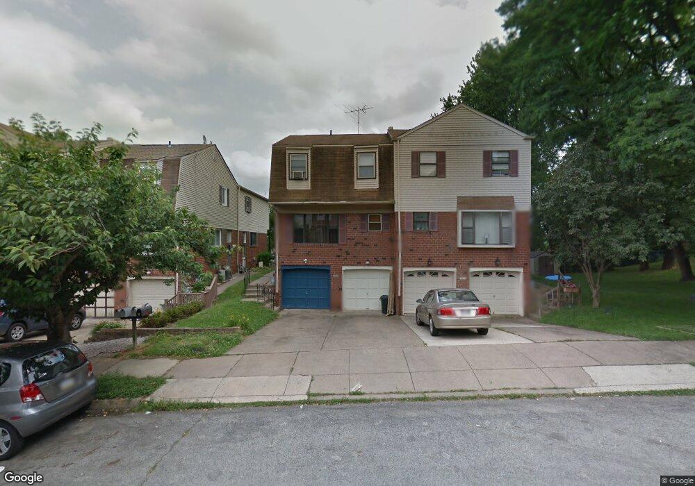
9347 Neil Rd Unit A Philadelphia, PA 19115
Bustleton NeighborhoodEstimated Value: $263,456 - $290,000
2
Beds
1
Bath
1,107
Sq Ft
$255/Sq Ft
Est. Value
About This Home
This home is located at 9347 Neil Rd Unit A, Philadelphia, PA 19115 and is currently estimated at $282,364, approximately $255 per square foot. 9347 Neil Rd Unit A is a home located in Philadelphia County with nearby schools including Frank Anne School, CCA Baldi Middle School, and George Washington High School.
Ownership History
Date
Name
Owned For
Owner Type
Purchase Details
Closed on
Oct 16, 2009
Sold by
Hand Betty A
Bought by
Goldberg Mark A and Storms Tiffany
Current Estimated Value
Home Financials for this Owner
Home Financials are based on the most recent Mortgage that was taken out on this home.
Original Mortgage
$140,650
Interest Rate
5.02%
Mortgage Type
Purchase Money Mortgage
Purchase Details
Closed on
Jul 24, 1996
Sold by
Levin Gloria
Bought by
Hand Betty A
Create a Home Valuation Report for This Property
The Home Valuation Report is an in-depth analysis detailing your home's value as well as a comparison with similar homes in the area
Home Values in the Area
Average Home Value in this Area
Purchase History
| Date | Buyer | Sale Price | Title Company |
|---|---|---|---|
| Goldberg Mark A | $145,000 | None Available | |
| Hand Betty A | $65,500 | -- |
Source: Public Records
Mortgage History
| Date | Status | Borrower | Loan Amount |
|---|---|---|---|
| Previous Owner | Goldberg Mark A | $140,650 |
Source: Public Records
Tax History Compared to Growth
Tax History
| Year | Tax Paid | Tax Assessment Tax Assessment Total Assessment is a certain percentage of the fair market value that is determined by local assessors to be the total taxable value of land and additions on the property. | Land | Improvement |
|---|---|---|---|---|
| 2025 | $2,047 | $187,100 | $24,300 | $162,800 |
| 2024 | $2,047 | $187,100 | $24,300 | $162,800 |
| 2023 | $2,047 | $146,200 | $19,000 | $127,200 |
| 2022 | $1,417 | $101,200 | $19,000 | $82,200 |
| 2021 | $2,047 | $0 | $0 | $0 |
| 2020 | $2,047 | $0 | $0 | $0 |
| 2019 | $1,925 | $0 | $0 | $0 |
| 2018 | $1,603 | $0 | $0 | $0 |
| 2017 | $1,603 | $0 | $0 | $0 |
| 2016 | $1,079 | $0 | $0 | $0 |
| 2015 | $1,033 | $0 | $0 | $0 |
| 2014 | -- | $107,100 | $10,710 | $96,390 |
| 2012 | -- | $19,776 | $1,802 | $17,974 |
Source: Public Records
Map
Nearby Homes
- 9376 Neil Rd Unit A
- 1700 Tracey St Unit A
- 9331 Banes St Unit B
- 1611 Gregg St
- 8920 00 Krewstown Rd Unit 216
- 8950 Krewstown Rd Unit 204
- 1123 Grant Ave
- 8910 Krewstown Rd Unit 111
- 9117 Bustleton Ave
- 1608 Colima Rd
- 9703 Northeast Ave
- 8910 Rising Sun Ave
- 1012 Twist Rd
- 9618 Hoff St
- 1926 Beyer Ave
- 1009 Twist Rd
- 2026 Murray St
- 8870 Alton St
- 1029 Grant Ave
- 2089 Welsh Rd Unit F1
- 9347 Neil Rd Unit B
- 9349 Neil Rd Unit A
- 9349 Neil Rd Unit B
- 9351 Neil Rd
- 9351 Neil Rd Unit A
- 9351 Neil Rd Unit B
- 9353 Neil Rd Unit B
- 9353 Neil Rd Unit A
- 9339 Neil Rd Unit 41
- 9339 Neil Rd Unit 41
- 9355 Neil Rd Unit B
- 9355 Neil Rd Unit A
- 9324 Jamison Ave Unit B
- 9324 Jamison Ave Unit A
- 9326 Jamison Ave Unit B
- 9326 Jamison Ave Unit A
- 9328 Jamison Ave
- 9328 Jamison Ave Unit B
- 9328 Jamison Ave Unit A
- 9330 Jamison Ave Unit B