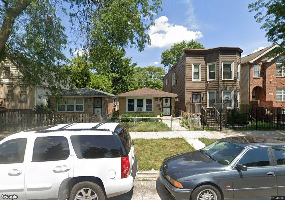
9347 S Burnside Ave Chicago, IL 60619
Roseland NeighborhoodEstimated Value: $82,000 - $195,000
2
Beds
1
Bath
880
Sq Ft
$180/Sq Ft
Est. Value
About This Home
This home is located at 9347 S Burnside Ave, Chicago, IL 60619 and is currently estimated at $158,246, approximately $179 per square foot. 9347 S Burnside Ave is a home located in Cook County with nearby schools including Gillespie Elementary School, Harlan Community Academy High School, and Christian S T E M Scholars.
Ownership History
Date
Name
Owned For
Owner Type
Purchase Details
Closed on
Aug 24, 2021
Sold by
Nash Ralph and Nash Merry
Bought by
Nash Ralph and Nash Merry P
Current Estimated Value
Purchase Details
Closed on
Aug 3, 2005
Sold by
Keith Kevin U
Bought by
Nash Ralph and Nash Merry
Home Financials for this Owner
Home Financials are based on the most recent Mortgage that was taken out on this home.
Original Mortgage
$97,520
Outstanding Balance
$56,717
Interest Rate
7.37%
Mortgage Type
Unknown
Estimated Equity
$101,529
Create a Home Valuation Report for This Property
The Home Valuation Report is an in-depth analysis detailing your home's value as well as a comparison with similar homes in the area
Home Values in the Area
Average Home Value in this Area
Purchase History
| Date | Buyer | Sale Price | Title Company |
|---|---|---|---|
| Nash Ralph | -- | Attorney | |
| Nash Ralph | $122,000 | Ticor Title Insurance Compan |
Source: Public Records
Mortgage History
| Date | Status | Borrower | Loan Amount |
|---|---|---|---|
| Open | Nash Ralph | $97,520 |
Source: Public Records
Tax History Compared to Growth
Tax History
| Year | Tax Paid | Tax Assessment Tax Assessment Total Assessment is a certain percentage of the fair market value that is determined by local assessors to be the total taxable value of land and additions on the property. | Land | Improvement |
|---|---|---|---|---|
| 2024 | $1,793 | $8,900 | $2,344 | $6,556 |
| 2023 | $1,748 | $8,500 | $3,906 | $4,594 |
| 2022 | $1,748 | $8,500 | $3,906 | $4,594 |
| 2021 | $1,709 | $8,499 | $3,906 | $4,593 |
| 2020 | $2,324 | $10,432 | $2,812 | $7,620 |
| 2019 | $2,329 | $11,592 | $2,812 | $8,780 |
| 2018 | $2,290 | $11,592 | $2,812 | $8,780 |
| 2017 | $2,377 | $11,040 | $2,500 | $8,540 |
| 2016 | $2,211 | $11,040 | $2,500 | $8,540 |
| 2015 | $2,023 | $11,040 | $2,500 | $8,540 |
| 2014 | $1,855 | $9,999 | $2,187 | $7,812 |
| 2013 | $1,819 | $9,999 | $2,187 | $7,812 |
Source: Public Records
Map
Nearby Homes
- 9418 S Champlain Ave
- 9311 S Burnside Ave
- 710 E 95th St
- 728 E 95th St
- 730 E 95th St
- 605 E 92nd Place
- 627 E 92nd Place
- 9425 S Vernon Ave
- 9302 S Eberhart Ave
- 9259 S Cottage Grove Ave
- 9300 S Vernon Ave
- 9326 S King Dr
- 9215 S Cottage Grove Ave Unit 2W
- 543 E 91st Place
- 9211 S Cottage Grove Ave Unit 9-C2
- 715 E 91st Place
- 9209 S Cottage Grove Ave Unit A6
- 9220 S Dauphin Ave
- 906 E 93rd St
- 9220 S King Dr
- 9349 S Burnside Ave
- 9349 S Burnside Ave
- 9349 S Burnside Ave Unit 2
- 9345 S Burnside Ave
- 9343 S Burnside Ave
- 9353 S Burnside Ave
- 9357 S Burnside Ave
- 9357 S Burnside Ave Unit 2
- 9363 S Burnside Ave
- 9335 S Burnside Ave
- 9335 S Burnside Ave
- 9365 S Burnside Ave
- 9333 S Burnside Ave
- 9405 S Champlain Ave Unit 1
- 9405 S Champlain Ave
- 9367 S Burnside Ave
- 9367 S Burnside Ave
- 9331 S Burnside Ave
- 9369 S Burnside Ave