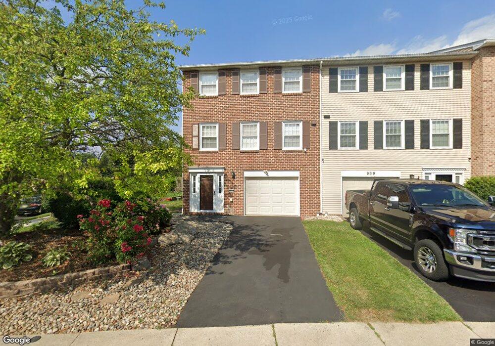
935 Barnside Rd Allentown, PA 18103
Estimated Value: $327,531 - $360,000
3
Beds
3
Baths
1,932
Sq Ft
$177/Sq Ft
Est. Value
About This Home
This home is located at 935 Barnside Rd, Allentown, PA 18103 and is currently estimated at $342,133, approximately $177 per square foot. 935 Barnside Rd is a home located in Lehigh County with nearby schools including Wescosville Elementary School, Lower Macungie Middle School, and Emmaus High School.
Ownership History
Date
Name
Owned For
Owner Type
Purchase Details
Closed on
Oct 7, 2015
Sold by
Ren Yu Qi and Xiao Yu Ying
Bought by
Ren Yu Xing and Ren Boru
Current Estimated Value
Purchase Details
Closed on
Jan 1, 1997
Sold by
Cheung Chiu
Bought by
Cheung Sam and Yi Mei
Purchase Details
Closed on
May 27, 1994
Sold by
Kumar Madhurima
Bought by
Cheung Chiu
Purchase Details
Closed on
May 24, 1990
Bought by
Kumar Madhurima
Create a Home Valuation Report for This Property
The Home Valuation Report is an in-depth analysis detailing your home's value as well as a comparison with similar homes in the area
Home Values in the Area
Average Home Value in this Area
Purchase History
| Date | Buyer | Sale Price | Title Company |
|---|---|---|---|
| Ren Yu Xing | $160,000 | Attorney | |
| Cheung Sam | -- | -- | |
| Cheung Chiu | $115,300 | -- | |
| Kumar Madhurima | $115,000 | -- |
Source: Public Records
Tax History Compared to Growth
Tax History
| Year | Tax Paid | Tax Assessment Tax Assessment Total Assessment is a certain percentage of the fair market value that is determined by local assessors to be the total taxable value of land and additions on the property. | Land | Improvement |
|---|---|---|---|---|
| 2025 | $4,511 | $176,700 | $19,100 | $157,600 |
| 2024 | $4,364 | $176,700 | $19,100 | $157,600 |
| 2023 | $4,277 | $176,700 | $19,100 | $157,600 |
| 2022 | $4,176 | $176,700 | $157,600 | $19,100 |
| 2021 | $4,087 | $176,700 | $19,100 | $157,600 |
| 2020 | $4,048 | $176,700 | $19,100 | $157,600 |
| 2019 | $3,979 | $176,700 | $19,100 | $157,600 |
| 2018 | $3,927 | $176,700 | $19,100 | $157,600 |
| 2017 | $3,859 | $176,700 | $19,100 | $157,600 |
| 2016 | -- | $176,700 | $19,100 | $157,600 |
| 2015 | -- | $176,700 | $19,100 | $157,600 |
| 2014 | -- | $176,700 | $19,100 | $157,600 |
Source: Public Records
Map
Nearby Homes
- 1045 Barnside Rd
- 4626 N Hedgerow Dr
- 1270 Minesite Rd
- 4881 Spruce Rd
- 1385 Brookside Rd
- 5300 Hanover Dr
- 997 Village Round Unit K
- 997K Village Round Unit 104K
- 5133 Meadow Ln
- 5475 Hamilton Blvd Unit 7
- 5524 Stonecroft Ln
- 5280 Townsquare Dr
- 1675 Hamlet Dr
- 5619 Stonecroft Ln
- 1141 Glick Ave
- 5673 Wedge Ln
- 5736 Greens Dr
- 5175 Meadowview Dr
- 2117 Isabel Ln
- 5137 Schantz Rd Unit The Jackson
- 939 Barnside Rd
- 943 Barnside Rd
- 947 Barnside Rd
- 951 Barnside Rd
- 955 Barnside Rd
- 944 Barnside Rd
- 948 Barnside Rd
- 952 Barnside Rd
- 959 Barnside Rd
- 4519 N Hedgerow Dr
- 4521 N Hedgerow Dr
- 4517 N Hedgerow Dr
- 4515 N Hedgerow Dr
- 4529 N Hedgerow Dr
- 958 Barnside Rd
- 963 Barnside Rd
- 4531 N Hedgerow Dr
- 962 Barnside Rd
- 4533 N Hedgerow Dr
- 967 Barnside Rd