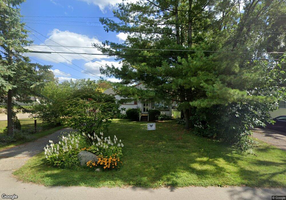
935 Browning Ave Jackson, MI 49202
Estimated Value: $150,016 - $153,000
Studio
--
Bath
960
Sq Ft
$158/Sq Ft
Est. Value
About This Home
This home is located at 935 Browning Ave, Jackson, MI 49202 and is currently estimated at $151,504, approximately $157 per square foot. 935 Browning Ave is a home located in Jackson County with nearby schools including Hunt Elementary School, Middle School at Parkside, and Jackson High School.
Ownership History
Date
Name
Owned For
Owner Type
Purchase Details
Closed on
Jun 7, 2019
Sold by
Rodgers Michael W
Bought by
Rodgers Michael W and Mullins Rodgers Amy
Current Estimated Value
Purchase Details
Closed on
Mar 24, 2004
Sold by
Gaskill Anne M
Bought by
Rodgers Michael W
Home Financials for this Owner
Home Financials are based on the most recent Mortgage that was taken out on this home.
Original Mortgage
$66,000
Outstanding Balance
$28,563
Interest Rate
4.62%
Mortgage Type
Purchase Money Mortgage
Estimated Equity
$122,941
Purchase Details
Closed on
Jul 7, 1998
Sold by
Sherwood Janie W
Bought by
Gaskill Anne M
Create a Home Valuation Report for This Property
The Home Valuation Report is an in-depth analysis detailing your home's value as well as a comparison with similar homes in the area
Home Values in the Area
Average Home Value in this Area
Purchase History
| Date | Buyer | Sale Price | Title Company |
|---|---|---|---|
| Rodgers Michael W | -- | None Available | |
| Rodgers Michael W | $82,500 | At | |
| Gaskill Anne M | $65,900 | -- |
Source: Public Records
Mortgage History
| Date | Status | Borrower | Loan Amount |
|---|---|---|---|
| Open | Rodgers Michael W | $66,000 |
Source: Public Records
Tax History
| Year | Tax Paid | Tax Assessment Tax Assessment Total Assessment is a certain percentage of the fair market value that is determined by local assessors to be the total taxable value of land and additions on the property. | Land | Improvement |
|---|---|---|---|---|
| 2025 | $2,755 | $66,900 | $0 | $0 |
| 2024 | $18 | $64,950 | $0 | $0 |
| 2023 | $1,750 | $59,900 | $0 | $0 |
| 2022 | $2,437 | $49,200 | $0 | $0 |
| 2021 | $2,241 | $50,400 | $0 | $0 |
| 2020 | $2,159 | $47,900 | $0 | $0 |
| 2019 | $2,106 | $38,400 | $0 | $0 |
| 2018 | $2,165 | $36,600 | $0 | $0 |
| 2017 | $1,988 | $36,900 | $0 | $0 |
| 2016 | $1,394 | $36,366 | $36,366 | $0 |
| 2015 | $1,954 | $35,852 | $35,852 | $0 |
| 2014 | $1,954 | $36,157 | $36,157 | $0 |
| 2013 | -- | $36,157 | $36,157 | $0 |
Source: Public Records
Map
Nearby Homes
- 1802 W Argyle St
- 1050 Maynard Ave
- 870 Bryant Ave
- 923 Wayne St
- 2318 Westminster Blvd
- 802 Concord Blvd
- VL Laurence Ave
- 0 VL Laurence Ave
- 0 N Brown St
- 534 Barrett Ave
- 406 Fern Ave
- 0 Laurence Ave Unit 25062864
- 718 Center St
- 919 Lincoln St
- 712 W North St
- 311 Hibbard Ave
- 713 Webb St
- 920 Wildwood Ave
- 2375 Windemere Dr
- 1105 Clinton Rd
- 933 Browning Ave
- 1056 Bryant Ave
- 931 Browning Ave
- 919 Browning Ave
- 933 Varden Dr
- 926 Bryant Ave
- 929 Varden Dr
- 1053 Bryant Ave
- 922 Bryant Ave
- 1045 Bryant Ave
- 925 Varden Dr
- 2051 W Argyle St
- 927 Bryant Ave
- 1100 Herbert J Ave
- 2302 Dover Ave
- 915 Browning Ave
- 923 Bryant Ave
- 2301 W Argyle St
- 921 Varden Dr
- 2216 W Argyle St
Your Personal Tour Guide
Ask me questions while you tour the home.