935 Startown Rd Lincolnton, NC 28092
Estimated Value: $437,000 - $725,275
3
Beds
4
Baths
2,182
Sq Ft
$271/Sq Ft
Est. Value
About This Home
This home is located at 935 Startown Rd, Lincolnton, NC 28092 and is currently estimated at $590,819, approximately $270 per square foot. 935 Startown Rd is a home with nearby schools including Norris S. Childers Elementary School, Lincolnton Middle School, and Lincolnton High School.
Ownership History
Date
Name
Owned For
Owner Type
Purchase Details
Closed on
Feb 21, 2024
Sold by
Richardson Jeffery Lynn and Richardson Mary Ann
Bought by
Mauney John Elliott and Mauney Debra
Current Estimated Value
Purchase Details
Closed on
Apr 18, 2020
Sold by
Beatty Charles A and Beatty Angela R
Bought by
Richardson Jeffery Lynn and Richardson Mary Ann
Purchase Details
Closed on
Jul 22, 2002
Bought by
Beatty Holly L
Create a Home Valuation Report for This Property
The Home Valuation Report is an in-depth analysis detailing your home's value as well as a comparison with similar homes in the area
Home Values in the Area
Average Home Value in this Area
Purchase History
| Date | Buyer | Sale Price | Title Company |
|---|---|---|---|
| Mauney John Elliott | -- | None Listed On Document | |
| Richardson Jeffery Lynn | -- | None Available | |
| Beatty Holly L | $24,000 | -- |
Source: Public Records
Tax History Compared to Growth
Tax History
| Year | Tax Paid | Tax Assessment Tax Assessment Total Assessment is a certain percentage of the fair market value that is determined by local assessors to be the total taxable value of land and additions on the property. | Land | Improvement |
|---|---|---|---|---|
| 2025 | $3,522 | $560,007 | $87,016 | $472,991 |
| 2024 | $3,505 | $560,375 | $87,384 | $472,991 |
| 2023 | $3,416 | $560,375 | $87,384 | $472,991 |
| 2022 | $2,542 | $342,318 | $62,256 | $280,062 |
| 2021 | $374 | $54,256 | $54,256 | $0 |
| 2020 | $230 | $0 | $0 | $0 |
| 2019 | $10 | $34,393 | $34,393 | $0 |
| 2018 | $9 | $30,370 | $30,370 | $0 |
| 2017 | $9 | $30,370 | $30,370 | $0 |
| 2016 | $9 | $0 | $0 | $0 |
| 2015 | $8 | $30,370 | $30,370 | $0 |
| 2014 | $8 | $32,328 | $32,328 | $0 |
Source: Public Records
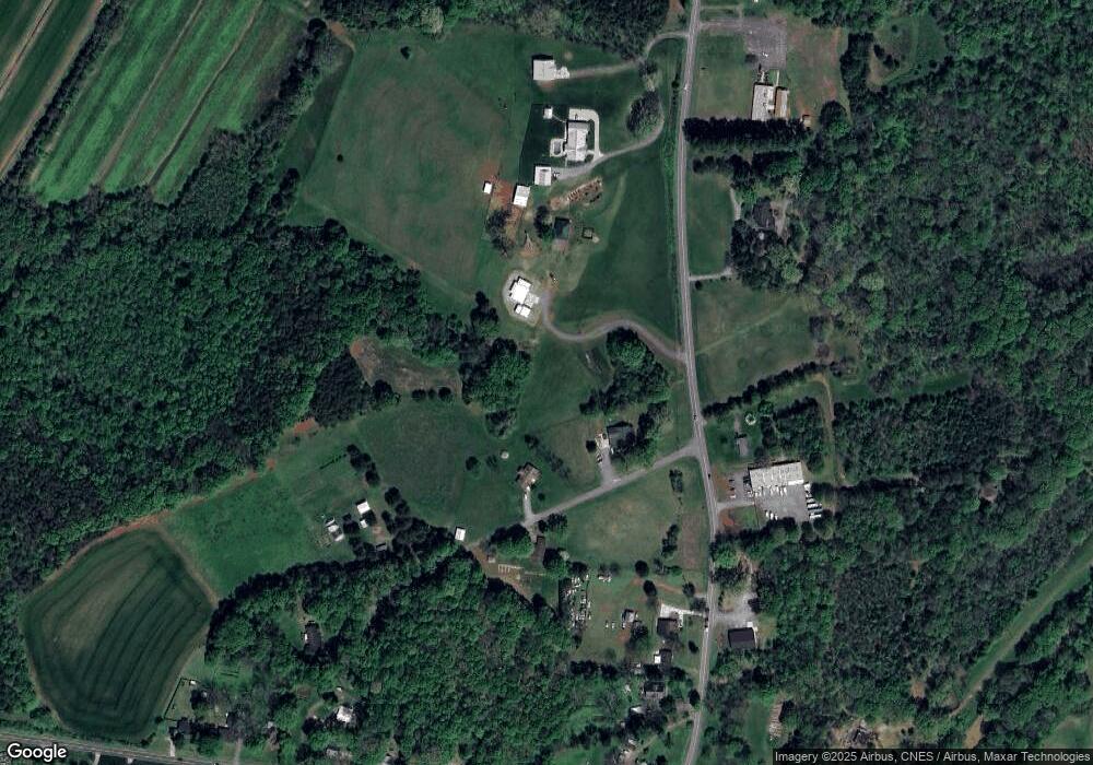
Map
Nearby Homes
- 801 N Grove St
- 502 Forney Ave
- 000 Better Brook Ln
- #168 Rolling Rd
- 316 N Government St
- 611 W Main Street Extension
- 1231 Better Brook Ln
- 411 W Sycamore St
- 536 Lincolnview Rd
- 627 W Main St
- 668 Riverside Dr
- 0 Hillard Ln
- 4100 Summey Trail
- 826 E Alexander St
- 317 S High St
- 1338 Pell Dr
- 1712 Cline Farm Rd
- 2350, 1912 N Aspen St
- 0 N Carolina 182 Unit CAR4246688
- 515 Willow St
- 660 Andrews Dr
- 632 Andrews Dr
- 669 Andrews Dr
- 886 Startown Rd
- 979 Startown Rd
- 856 Startown Rd
- 835 Startown Rd
- 956 Startown Rd
- 888 Wiltshire Ln
- 827 Startown Rd
- 1005 Startown Rd
- 817 Startown Rd
- 707 Andrews Dr
- 787 Startown Rd
- 1118 Reepsville Rd
- 1102 Reepsville Rd
- 1132 Reepsville Rd
- 1148 Reepsville Rd
- 1080 Reepsville Rd
- 769 Startown Rd