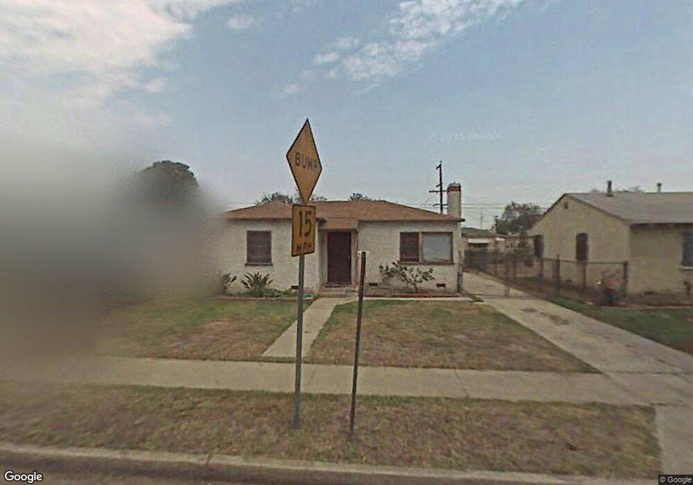
935 W 127th Place Compton, CA 90222
Estimated Value: $459,203 - $624,000
2
Beds
1
Bath
718
Sq Ft
$747/Sq Ft
Est. Value
About This Home
This home is located at 935 W 127th Place, Compton, CA 90222 and is currently estimated at $536,551, approximately $747 per square foot. 935 W 127th Place is a home located in Los Angeles County with nearby schools including Ronald E. McNair Elementary School, Bunche Middle School, and Centennial High School.
Ownership History
Date
Name
Owned For
Owner Type
Purchase Details
Closed on
Aug 3, 2023
Sold by
Jones Thomas A and Jones Pamela A
Bought by
Jones Family Trust and Jones
Current Estimated Value
Purchase Details
Closed on
Feb 23, 2012
Sold by
Jones Thomas A
Bought by
Jones Thomas A and Jones Pamela A
Purchase Details
Closed on
Aug 25, 2010
Sold by
Jones Johnnie Bernard and Jones Thomas A
Bought by
Jones Thomas A and Jones Retained Income Trust
Purchase Details
Closed on
Jun 23, 2008
Sold by
Jones Johnnie B
Bought by
Jones Johnnie Bernard
Purchase Details
Closed on
Nov 2, 2004
Sold by
Jones Johnnie B and Jones Pamela A
Bought by
Jones Johnnie B
Create a Home Valuation Report for This Property
The Home Valuation Report is an in-depth analysis detailing your home's value as well as a comparison with similar homes in the area
Home Values in the Area
Average Home Value in this Area
Purchase History
| Date | Buyer | Sale Price | Title Company |
|---|---|---|---|
| Jones Family Trust | -- | None Listed On Document | |
| Jones Thomas A | -- | None Available | |
| Jones Thomas A | -- | None Available | |
| Jones Thomas A | -- | None Available | |
| Jones Johnnie Bernard | -- | None Available | |
| Jones Johnnie B | -- | None Available | |
| Jones Johnnie B | -- | -- |
Source: Public Records
Tax History
| Year | Tax Paid | Tax Assessment Tax Assessment Total Assessment is a certain percentage of the fair market value that is determined by local assessors to be the total taxable value of land and additions on the property. | Land | Improvement |
|---|---|---|---|---|
| 2025 | $1,381 | $29,844 | $16,640 | $13,204 |
| 2024 | $1,381 | $29,260 | $16,314 | $12,946 |
| 2023 | $1,307 | $28,688 | $15,995 | $12,693 |
| 2022 | $1,260 | $28,127 | $15,682 | $12,445 |
| 2021 | $937 | $27,576 | $15,375 | $12,201 |
| 2019 | $1,264 | $26,760 | $14,920 | $11,840 |
| 2018 | $1,178 | $26,236 | $14,628 | $11,608 |
| 2016 | $1,108 | $25,219 | $14,061 | $11,158 |
| 2015 | $1,079 | $24,841 | $13,850 | $10,991 |
| 2014 | $1,075 | $24,355 | $13,579 | $10,776 |
Source: Public Records
Map
Nearby Homes
- 1950 N Bloom Dr
- 1726 E 122nd St
- 1644 E 122nd St
- 850 W 132nd St
- 2207 N Anzac Ave
- 2010 E 122nd St
- 810 W 133rd St
- 2143 E 126th St
- 0 W 134th Place
- 924 W 134th Place
- 813 W Stockwell St
- 12116 S Willowbrook Ave
- 1716 N Grandee Ave
- 12106 S Willowbrook Ave
- 12120 S Willowbrook Ave
- 2222 E 124th St
- 1036 W Stockwell St
- 1808 N Grape Ave
- 1563 E 119th St
- 2102 E Lucien St
- 931 W 127th Place
- 939 W 127th Place
- 943 W 127th Place
- 927 W 127th Place
- 940 W 127th St
- 932 W 127th St
- 944 W 127th St
- 928 W 127th St
- 936 W 127th St
- 945 W 127th Place
- 923 W 127th Place
- 940 W 127th Place
- 932 W 127th Place
- 946 W 127th St
- 924 W 127th St
- 944 W 127th Place
- 928 W 127th Place
- 946 W 127th Place
- 920 W 127th St
- 924 W 127th Place
Your Personal Tour Guide
Ask me questions while you tour the home.