9350 Matthews Hwy Tecumseh, MI 49286
Estimated Value: $357,055 - $467,000
--
Bed
--
Bath
1,628
Sq Ft
$253/Sq Ft
Est. Value
About This Home
This home is located at 9350 Matthews Hwy, Tecumseh, MI 49286 and is currently estimated at $412,028, approximately $253 per square foot. 9350 Matthews Hwy is a home located in Lenawee County with nearby schools including Patterson Elementary School, Tecumseh Middle School, and Tecumseh High School.
Ownership History
Date
Name
Owned For
Owner Type
Purchase Details
Closed on
Jul 27, 2012
Sold by
Rogalski James E and Rogalski James
Bought by
Rogalski James E
Current Estimated Value
Purchase Details
Closed on
Jan 7, 2005
Sold by
Rogalski James Edward and Rogalski Melisa G
Bought by
Rogalski James E
Create a Home Valuation Report for This Property
The Home Valuation Report is an in-depth analysis detailing your home's value as well as a comparison with similar homes in the area
Home Values in the Area
Average Home Value in this Area
Purchase History
| Date | Buyer | Sale Price | Title Company |
|---|---|---|---|
| Rogalski James E | -- | None Available | |
| Rogalski James E | -- | None Available |
Source: Public Records
Tax History Compared to Growth
Tax History
| Year | Tax Paid | Tax Assessment Tax Assessment Total Assessment is a certain percentage of the fair market value that is determined by local assessors to be the total taxable value of land and additions on the property. | Land | Improvement |
|---|---|---|---|---|
| 2025 | $2,982 | $182,900 | $0 | $0 |
| 2024 | $2,143 | $187,100 | $0 | $0 |
| 2023 | $2,865 | $165,300 | $0 | $0 |
| 2022 | $3,154 | $149,200 | $0 | $0 |
| 2021 | $3,154 | $147,900 | $0 | $0 |
| 2020 | $3,122 | $148,400 | $0 | $0 |
| 2019 | $293,795 | $122,500 | $0 | $0 |
| 2018 | $2,986 | $31,623 | $0 | $0 |
| 2017 | $2,954 | $31,623 | $0 | $0 |
| 2016 | $2,855 | $31,623 | $0 | $0 |
| 2014 | -- | $31,623 | $0 | $0 |
Source: Public Records
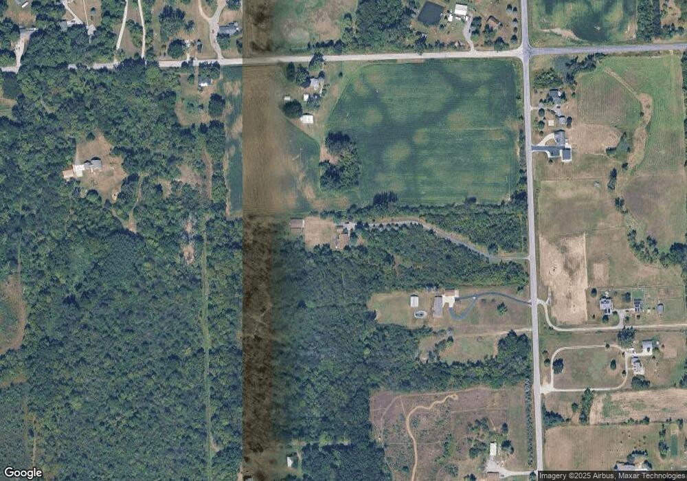
Map
Nearby Homes
- 2905 E Munger Rd
- 9000 Matthews Hwy
- 9402 Pleasant Dr
- 0 BLK Pleasant Dr
- 609 Red Maple Dr
- 2003 E M-50 Hwy
- Integrity 2280 Plan at Indian Hills
- 609 Hickory Ridge Dr
- 410 Settlers Cove
- 1251 E Monroe Rd
- 681 Ridge Ln
- 700 Blk N Occidental Rd
- 9410 Newburg Ct
- 9295 Newburg Hwy
- 1203 Carriage Dr
- 9103 N Union St Unit LOT 46
- 716 Ternes Rd
- 301 Cree Ct
- 741 Lone Oak Way
- 739 Lone Oak Way
- 9273 Matthews Hwy
- 9245 Matthews Hwy
- 9300 Matthews Hwy
- 9215 Matthews Hwy
- 9000
- 9449 Matthews Hwy
- 2000 E Munger Rd
- 9491 Matthews Hwy
- 2215 E Munger Rd
- 2200 E Munger Rd
- 9500 Matthews Hwy
- 1903 E Munger Rd
- 9061 Matthews Hwy
- 2222 E Munger Rd
- 9160 Matthews Hwy
- 1848 W Acres Dr
- 1770 W Acres Dr
- 9009 Matthews Hwy
- 1845 W Acres Dr
- 1771 W Acres Dr