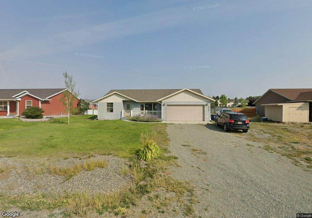
936 Antares Rd Helena, MT 59602
West Helena Valley NeighborhoodEstimated Value: $444,000 - $501,000
3
Beds
2
Baths
3,048
Sq Ft
$154/Sq Ft
Est. Value
About This Home
This home is located at 936 Antares Rd, Helena, MT 59602 and is currently estimated at $468,576, approximately $153 per square foot. 936 Antares Rd is a home located in Lewis and Clark County with nearby schools including Jim Darcy Elementary School and C.R. Anderson Middle School.
Ownership History
Date
Name
Owned For
Owner Type
Purchase Details
Closed on
Jul 10, 2009
Sold by
Wim Corp
Bought by
Holston Michael G and Holston Alycia B
Current Estimated Value
Home Financials for this Owner
Home Financials are based on the most recent Mortgage that was taken out on this home.
Original Mortgage
$194,738
Outstanding Balance
$124,226
Interest Rate
4.87%
Mortgage Type
FHA
Estimated Equity
$344,350
Create a Home Valuation Report for This Property
The Home Valuation Report is an in-depth analysis detailing your home's value as well as a comparison with similar homes in the area
Home Values in the Area
Average Home Value in this Area
Purchase History
| Date | Buyer | Sale Price | Title Company |
|---|---|---|---|
| Holston Michael G | -- | Chicago Title Insurance Co |
Source: Public Records
Mortgage History
| Date | Status | Borrower | Loan Amount |
|---|---|---|---|
| Open | Holston Michael G | $194,738 |
Source: Public Records
Tax History Compared to Growth
Tax History
| Year | Tax Paid | Tax Assessment Tax Assessment Total Assessment is a certain percentage of the fair market value that is determined by local assessors to be the total taxable value of land and additions on the property. | Land | Improvement |
|---|---|---|---|---|
| 2025 | $1,762 | $393,700 | $0 | $0 |
| 2024 | $3,176 | $389,100 | $0 | $0 |
| 2023 | $3,385 | $389,100 | $0 | $0 |
| 2022 | $2,676 | $256,700 | $0 | $0 |
| 2021 | $2,638 | $256,700 | $0 | $0 |
| 2020 | $2,569 | $240,700 | $0 | $0 |
| 2019 | $2,589 | $240,700 | $0 | $0 |
| 2018 | $2,488 | $228,800 | $0 | $0 |
| 2017 | $1,949 | $228,800 | $0 | $0 |
| 2016 | $2,163 | $221,400 | $0 | $0 |
| 2015 | $1,927 | $221,400 | $0 | $0 |
| 2014 | $1,812 | $114,056 | $0 | $0 |
Source: Public Records
Map
Nearby Homes
- 1085 Avian Rd
- 1072 Pollux Rd
- 8240 Avocet Dr
- 1153 Pollux Rd
- 1145 Terrence Rd
- 575 Jeanne Rd
- Lot E-2 Mary Dr
- Lot E-1 Mary Dr
- 1188 Hunter Rd
- 1187 Hunter Rd
- 1194 Hunter Rd
- 1343 Stetson Rd
- 7622 Kingpost Loop
- 7626 Roughsawn Dr
- nhn Bergren Dr
- 7567 Kingpost Loop
- 8340 Green Meadow Dr
- 7190 Jenroe Dr
- 5701 Collins Dr
- 7175 Jenroe Dr
- 918 Antares Rd
- 954 Antares Rd
- 919 Antares Rd
- 937 Antares Rd
- 900 Antares Rd
- 901 Antares Rd
- 955 Antares Rd
- 973 Antares Rd
- 1005 Avian Rd
- 990 Antares Rd
- 1015 Avian Rd
- 995 Avian Rd
- 1025 Avian Rd
- NSN Eagle View
- Lot 17 Eagle View
- Lot 11 Eagle View
- Lot 8 Eagle View
- Lot 4 Eagle View
- 985 Avian Rd
- 991 Antares Rd