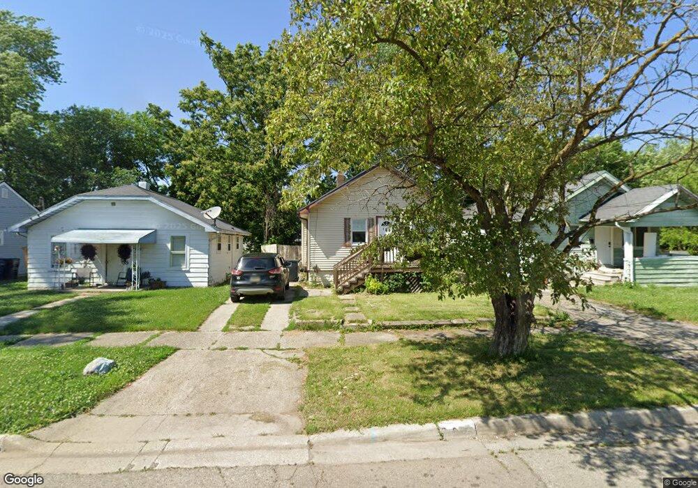
936 Leland St Unit Bldg-Unit Flint, MI 48507
South Side NeighborhoodEstimated Value: $45,000 - $59,000
3
Beds
1
Bath
940
Sq Ft
$53/Sq Ft
Est. Value
About This Home
This home is located at 936 Leland St Unit Bldg-Unit, Flint, MI 48507 and is currently estimated at $49,826, approximately $53 per square foot. 936 Leland St Unit Bldg-Unit is a home located in Genesee County with nearby schools including Neithercut Elementary School, Flint Southwestern Classical Academy, and International Academy of Flint (K-12).
Ownership History
Date
Name
Owned For
Owner Type
Purchase Details
Closed on
Oct 14, 2025
Sold by
D & S Properties Of Flint Llc
Bought by
M & L Properties Management Llc
Current Estimated Value
Purchase Details
Closed on
Mar 27, 2018
Sold by
Thomas Lisa M
Bought by
D And S Properties Of Flint Llc
Purchase Details
Closed on
Dec 6, 2017
Sold by
Thomas Lisa M
Bought by
Financial Plus Credit Union
Create a Home Valuation Report for This Property
The Home Valuation Report is an in-depth analysis detailing your home's value as well as a comparison with similar homes in the area
Home Values in the Area
Average Home Value in this Area
Purchase History
| Date | Buyer | Sale Price | Title Company |
|---|---|---|---|
| M & L Properties Management Llc | -- | None Listed On Document | |
| D And S Properties Of Flint Llc | $9,800 | Mason Burgess Title Agency | |
| D And S Properties Of Flint Llc | $9,800 | Mason Murgess Title Agency | |
| Financial Plus Credit Union | $27,813 | None Available |
Source: Public Records
Tax History
| Year | Tax Paid | Tax Assessment Tax Assessment Total Assessment is a certain percentage of the fair market value that is determined by local assessors to be the total taxable value of land and additions on the property. | Land | Improvement |
|---|---|---|---|---|
| 2025 | $1,160 | $16,700 | $0 | $0 |
| 2024 | $1,074 | $17,000 | $0 | $0 |
| 2023 | $1,050 | $13,800 | $0 | $0 |
| 2022 | $0 | $12,400 | $0 | $0 |
| 2021 | $1,064 | $11,000 | $0 | $0 |
| 2020 | $989 | $11,000 | $0 | $0 |
| 2019 | $998 | $11,300 | $0 | $0 |
| 2018 | $678 | $9,300 | $0 | $0 |
| 2017 | $661 | $0 | $0 | $0 |
| 2016 | $657 | $0 | $0 | $0 |
| 2015 | -- | $0 | $0 | $0 |
| 2014 | -- | $0 | $0 | $0 |
| 2012 | -- | $11,500 | $0 | $0 |
Source: Public Records
Map
Nearby Homes
- 3902 Brunswick Ave
- 3805 Brunswick Ave
- 1028 Campbell St
- 822 Campbell St
- 845 Alvord Ave
- 1015 Alvord Ave
- 806 Alvord Ave
- 1130 W Atherton Rd
- 805 Alvord Ave
- 829 Clinton St
- 738 W Atherton Rd
- 4418 Brunswick Ave
- 1225 Waldman Ave
- 825 Vermilya Ave
- 1234 Huron St
- 805 Vermilya Ave
- 652 Crawford St
- 647 Crawford St
- 1310 Huron St
- 1410 Berrywood Ln
- 936 Leland St
- 932 Leland St
- 940 Leland St
- 944 Leland St
- 948 Leland St
- 927 Campbell St Unit Bldg-Unit
- 927 Campbell St
- 939 Campbell St
- 920 Leland St
- 923 Campbell St
- 947 Campbell St
- 931 Leland St
- 916 Leland St
- 915 Campbell St
- 925 Leland St
- 912 Leland St
- 915 Leland St
- 3905 Fenton Rd
- 3901 Fenton Rd
- 911 Leland St
Your Personal Tour Guide
Ask me questions while you tour the home.