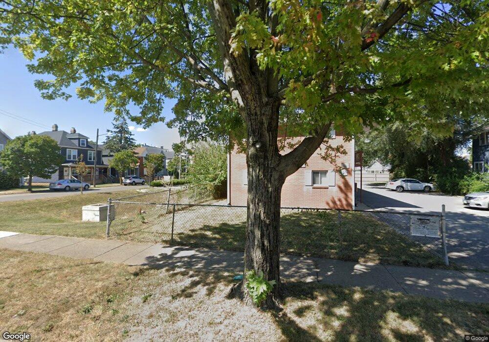
936 W Rich St Columbus, OH 43222
Franklinton NeighborhoodEstimated Value: $91,000
3
Beds
1
Bath
1,500
Sq Ft
$61/Sq Ft
Est. Value
About This Home
This home is located at 936 W Rich St, Columbus, OH 43222 and is currently priced at $91,000, approximately $60 per square foot. 936 W Rich St is a home located in Franklin County with nearby schools including Avondale Elementary School, Starling PK-8, and West High School.
Ownership History
Date
Name
Owned For
Owner Type
Purchase Details
Closed on
Feb 10, 2021
Sold by
Franklinton Development Assn
Bought by
Ctrl Ohio Cmty Land Tr Corp
Current Estimated Value
Purchase Details
Closed on
Sep 11, 2013
Sold by
Maynard Cynthia
Bought by
Franklinton Development Assn
Purchase Details
Closed on
Apr 29, 2013
Sold by
Adler Mark Daniel
Bought by
Maynard Cynthia
Purchase Details
Closed on
Dec 1, 2010
Sold by
Vazirani S M and Vazirani Mona S
Bought by
Adler Mark Daniel
Purchase Details
Closed on
Dec 11, 2002
Sold by
Hambel Betty J and Hambel Wade
Bought by
Vazirani S M
Purchase Details
Closed on
Aug 23, 1988
Bought by
Hambel Betty J
Purchase Details
Closed on
May 1, 1986
Create a Home Valuation Report for This Property
The Home Valuation Report is an in-depth analysis detailing your home's value as well as a comparison with similar homes in the area
Home Values in the Area
Average Home Value in this Area
Purchase History
| Date | Buyer | Sale Price | Title Company |
|---|---|---|---|
| Ctrl Ohio Cmty Land Tr Corp | -- | None Listed On Document | |
| Franklinton Development Assn | $3,000 | Land And Mortgage Title Bo | |
| Maynard Cynthia | $1,000 | None Available | |
| Adler Mark Daniel | $8,900 | None Available | |
| Vazirani S M | $12,000 | -- | |
| Hambel Betty J | $16,100 | -- | |
| -- | -- | -- |
Source: Public Records
Tax History Compared to Growth
Tax History
| Year | Tax Paid | Tax Assessment Tax Assessment Total Assessment is a certain percentage of the fair market value that is determined by local assessors to be the total taxable value of land and additions on the property. | Land | Improvement |
|---|---|---|---|---|
| 2021 | $71 | $1,330 | $1,330 | $0 |
| 2020 | $71 | $1,330 | $1,330 | $0 |
| 2019 | $70 | $1,120 | $1,120 | $0 |
| 2018 | $129 | $1,120 | $1,120 | $0 |
| 2017 | $70 | $1,120 | $1,120 | $0 |
| 2016 | $107 | $1,580 | $1,580 | $0 |
| 2015 | $189 | $1,580 | $1,580 | $0 |
| 2014 | $174 | $2,800 | $1,680 | $1,120 |
| 2013 | $158 | $3,115 | $1,855 | $1,260 |
Source: Public Records
Map
Nearby Homes
- 186 Avondale Ave Unit 188
- 273 Avondale Ave
- 286 Avondale Ave
- 211 Dakota Ave
- 955 Sullivant Ave
- 1011 Sullivant Ave
- 78 Hawkes Ave
- 72 Avondale Ave
- 112 S Cypress Ave
- The Summit Plan at Homes on Hartford - Single Family
- 345 Dakota Ave
- 53-55 Hawkes Ave
- 351 Dakota Ave
- 378 Hawkes Ave
- 61 Dakota Ave
- 45 N Hartford Ave
- 49 S Hartford Ave
- 45 S Hartford Ave
- 0 Campbell Ave
- 772 Sullivant Ave Unit 772
- 928 W Rich St
- 202 Hawkes Ave Unit 204
- 920 W Rich St Unit 922
- 217 Hawkes Ave
- 219 Hawkes Ave
- 211 Hawkes Ave Unit 213
- 211 Hawkes Ave
- 916 W Rich St
- 207 Hawkes Ave
- 205 Hawkes Ave
- 203 Hawkes Ave
- 935 W Rich St
- 927 W Rich St Unit 929
- 233 Hawkes Ave
- 910 W Rich St
- 925 W Rich St
- 199 Hawkes Ave
- 237 Hawkes Ave
- 922 W Walnut St
- 919 W Rich St