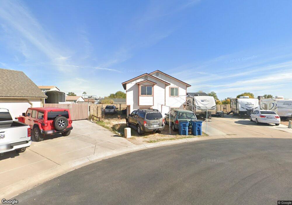
9362 E Duncan St Mesa, AZ 85207
Northeast Mesa NeighborhoodEstimated Value: $419,638 - $595,000
Studio
3
Baths
1,354
Sq Ft
$361/Sq Ft
Est. Value
About This Home
This home is located at 9362 E Duncan St, Mesa, AZ 85207 and is currently estimated at $488,910, approximately $361 per square foot. 9362 E Duncan St is a home located in Maricopa County with nearby schools including Taft Elementary School, Franklin at Brimhall Elementary School, and Franklin West Elementary School.
Ownership History
Date
Name
Owned For
Owner Type
Purchase Details
Closed on
Feb 27, 2019
Sold by
Smith Andrew Julian and Smith Penny Lee
Bought by
Smith Andrew J and Smith Penny L
Current Estimated Value
Create a Home Valuation Report for This Property
The Home Valuation Report is an in-depth analysis detailing your home's value as well as a comparison with similar homes in the area
Home Values in the Area
Average Home Value in this Area
Purchase History
| Date | Buyer | Sale Price | Title Company |
|---|---|---|---|
| Smith Andrew J | -- | None Available |
Source: Public Records
Tax History
| Year | Tax Paid | Tax Assessment Tax Assessment Total Assessment is a certain percentage of the fair market value that is determined by local assessors to be the total taxable value of land and additions on the property. | Land | Improvement |
|---|---|---|---|---|
| 2025 | $1,541 | $20,674 | -- | -- |
| 2024 | $1,576 | $19,689 | -- | -- |
| 2023 | $1,576 | $34,720 | $6,940 | $27,780 |
| 2022 | $1,535 | $28,020 | $5,600 | $22,420 |
| 2021 | $1,554 | $24,650 | $4,930 | $19,720 |
| 2020 | $1,041 | $20,080 | $4,010 | $16,070 |
| 2019 | $954 | $17,300 | $3,460 | $13,840 |
| 2018 | $928 | $15,850 | $3,170 | $12,680 |
| 2017 | $893 | $14,420 | $2,880 | $11,540 |
| 2016 | $875 | $12,150 | $2,430 | $9,720 |
| 2015 | $820 | $10,610 | $2,120 | $8,490 |
Source: Public Records
Map
Nearby Homes
- 9315 E Adobe Rd
- 9510 E Duncan St
- 636 N 94th Way
- 9554 E Dallas St
- 9138 E Dennis St
- 9403 E Cisco Rd
- 1015 N 91st Place
- 528 N 97th St
- 9502 E Flanders Rd
- 9333 E University Dr Unit 83
- 9333 E University Dr Unit 164
- 9333 E University Dr Unit 65
- 9333 E University Dr Unit 59
- 9333 E University Dr Unit 194
- 9333 E University Dr Unit 45
- 9333 E University Dr Unit 57
- 9333 E University Dr Unit 84
- 9333 E University Dr Unit 74
- 9333 E University Dr Unit 47
- 9333 E University Dr Unit 121
- 734 N 94th St
- 9349 E Duncan St
- 726 N 94th St
- 9354 E Duncan St
- 740 N 94th St
- 718 N 94th St
- 9337 E Duncan St
- 9340 E Duncan St
- 9365 E Adobe Rd
- 9352 E Dallas St
- 9357 E Adobe Rd
- 748 N 94th St
- 9360 E Dallas St
- 727 N 94th St
- 735 N 94th St
- 9329 E Duncan St
- 712 N 94th St
- 9332 E Duncan St
- 9349 E Adobe Rd
- 721 N 94th St
Your Personal Tour Guide
Ask me questions while you tour the home.