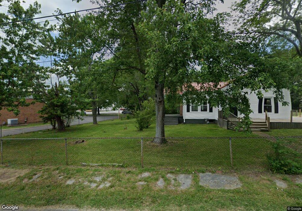
9367 Us Highway 70 E Mc Ewen, TN 37101
Estimated Value: $222,881 - $264,000
Studio
2
Baths
1,788
Sq Ft
$139/Sq Ft
Est. Value
About This Home
This home is located at 9367 Us Highway 70 E, Mc Ewen, TN 37101 and is currently estimated at $248,470, approximately $138 per square foot. 9367 Us Highway 70 E is a home located in Humphreys County with nearby schools including St. Patrick's School.
Ownership History
Date
Name
Owned For
Owner Type
Purchase Details
Closed on
Mar 27, 2024
Sold by
Buckner Family Trust
Bought by
Buckner Anita W
Current Estimated Value
Purchase Details
Closed on
Jul 12, 2021
Sold by
Buckner Anita W and Buckner James R
Bought by
Buckner James Richard and Buckner Anita Louise
Purchase Details
Closed on
Mar 21, 1991
Bought by
Buckner Anita W Etvir James R Buckn
Purchase Details
Closed on
Feb 20, 1959
Bought by
Watkins Calvin L and Watkins Louise
Purchase Details
Closed on
Apr 12, 1938
Create a Home Valuation Report for This Property
The Home Valuation Report is an in-depth analysis detailing your home's value as well as a comparison with similar homes in the area
Purchase History
| Date | Buyer | Sale Price | Title Company |
|---|---|---|---|
| Buckner Anita W | -- | None Listed On Document | |
| Buckner James Richard | -- | None Available | |
| Buckner Anita W Etvir James R Buckn | -- | -- | |
| Watkins Calvin L | -- | -- | |
| -- | -- | -- |
Source: Public Records
Tax History
| Year | Tax Paid | Tax Assessment Tax Assessment Total Assessment is a certain percentage of the fair market value that is determined by local assessors to be the total taxable value of land and additions on the property. | Land | Improvement |
|---|---|---|---|---|
| 2025 | $1,080 | $46,200 | $4,625 | $41,575 |
| 2024 | $969 | $46,200 | $4,625 | $41,575 |
| 2023 | $969 | $46,200 | $4,625 | $41,575 |
| 2022 | $892 | $34,575 | $4,225 | $30,350 |
| 2021 | $892 | $34,575 | $4,225 | $30,350 |
| 2020 | $892 | $34,575 | $4,225 | $30,350 |
| 2019 | $727 | $28,500 | $4,200 | $24,300 |
| 2018 | $727 | $28,500 | $4,200 | $24,300 |
| 2017 | $727 | $28,500 | $4,200 | $24,300 |
| 2016 | $556 | $19,975 | $4,200 | $15,775 |
| 2015 | $556 | $19,975 | $4,200 | $15,775 |
| 2014 | $555 | $19,967 | $0 | $0 |
Source: Public Records
Map
Nearby Homes
- 141 Long St W
- 0 Curtis Chapel Rd
- 135 Main St
- 131 Bold Springs Rd
- 62 High St E
- 58 Florence St
- 120 Melrose St
- 596 High St E
- 2250 Indian Creek Rd
- 0 Ridge Rd
- 69 College Ct
- 0 Ridgewood Dr Unit RTC3118676
- 0 Ridgewood Dr Unit RTC3098533
- 0 Ridgewood Dr Unit RTC2791892
- 90 College Ct
- 0 Indian Creek Rd Unit RTC3129379
- 0 Indian Creek Rd Unit RTC3113255
- 2044 Old Blacktop Rd
- 0 Hurt Loop
- 320 Capps Farm Ln
- 260 Oakwood Trail
- 9379 Us Highway 70 E
- 9325 Us Highway 70 E
- 37 Wilkie St S
- 76 Long St W
- 9368 Us Highway 70 E
- 9402 Us Highway 70 E
- 0 Long Meadow Rd Unit 2075111
- 0 Oakwood Trail Unit RTC2373881
- 0 Oakwood Trail Unit 2170791
- 0 Oakwood Trail Unit 2109846
- 23 Railroad St S
- 9416 Highway 70 E
- 9416 Us Highway 70 E
- 169 Long St W
- 9432 Us Highway 70 E
- 9296 Us Highway 70 E
- 190 Long St W
- 108 Clark St
- 189 Long St W
Your Personal Tour Guide
Ask me questions while you tour the home.