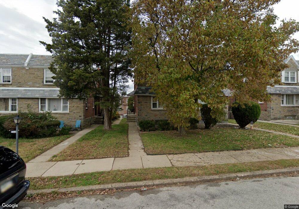
937 E Roumfort Rd Philadelphia, PA 19150
Cedarbrook NeighborhoodEstimated Value: $300,797 - $402,000
3
Beds
--
Bath
1,436
Sq Ft
$246/Sq Ft
Est. Value
About This Home
This home is located at 937 E Roumfort Rd, Philadelphia, PA 19150 and is currently estimated at $352,949, approximately $245 per square foot. 937 E Roumfort Rd is a home with nearby schools including John Story Jenks Academy for the Arts an, Roxborough High School, and Renaissance Charter School.
Ownership History
Date
Name
Owned For
Owner Type
Purchase Details
Closed on
Feb 27, 2007
Sold by
Butler Jeffrey E and Butler Pamela A
Bought by
Butler Pamela A
Current Estimated Value
Home Financials for this Owner
Home Financials are based on the most recent Mortgage that was taken out on this home.
Original Mortgage
$159,000
Interest Rate
6.25%
Mortgage Type
New Conventional
Create a Home Valuation Report for This Property
The Home Valuation Report is an in-depth analysis detailing your home's value as well as a comparison with similar homes in the area
Home Values in the Area
Average Home Value in this Area
Purchase History
| Date | Buyer | Sale Price | Title Company |
|---|---|---|---|
| Butler Pamela A | -- | None Available |
Source: Public Records
Mortgage History
| Date | Status | Borrower | Loan Amount |
|---|---|---|---|
| Closed | Butler Pamela A | $159,000 |
Source: Public Records
Tax History Compared to Growth
Tax History
| Year | Tax Paid | Tax Assessment Tax Assessment Total Assessment is a certain percentage of the fair market value that is determined by local assessors to be the total taxable value of land and additions on the property. | Land | Improvement |
|---|---|---|---|---|
| 2026 | $3,320 | $279,500 | $55,900 | $223,600 |
| 2025 | $3,320 | $279,500 | $55,900 | $223,600 |
| 2024 | $3,320 | $279,500 | $55,900 | $223,600 |
| 2023 | $3,320 | $237,200 | $47,440 | $189,760 |
| 2022 | $2,122 | $192,200 | $47,440 | $144,760 |
| 2021 | $2,752 | $0 | $0 | $0 |
| 2020 | $2,752 | $0 | $0 | $0 |
| 2019 | $2,872 | $0 | $0 | $0 |
| 2018 | $2,291 | $0 | $0 | $0 |
| 2017 | $2,711 | $0 | $0 | $0 |
| 2016 | $2,291 | $0 | $0 | $0 |
| 2015 | $2,194 | $0 | $0 | $0 |
| 2014 | -- | $193,700 | $41,872 | $151,828 |
| 2012 | -- | $25,536 | $4,096 | $21,440 |
Source: Public Records
Map
Nearby Homes
- 7604 East Ln
- 940 E Allens Ln
- 8319 Woolston Ave
- 8613 Thouron Ave
- 1204 E Mount Airy Ave
- 302 Crest Park Rd
- 407 E Allens Ln
- 0 Campbell Ln
- 7823 Flourtown Ave
- 7704 Ardleigh St
- 8427 Thouron Ave
- 8504 Forrest Ave
- 1038 E Mount Pleasant Ave
- 932 E Ellet St
- 8307 Thouron Ave
- 8617 Williams Ave
- 8327 Forrest Ave
- 511 E Willow Grove Ave
- 8659 Fayette St
- 8238 Forrest Ave
- 939 E Roumfort Rd
- 941 Roumfort Rd
- 941 E Roumfort Rd
- 935 E Roumfort Rd
- 943 E Roumfort Rd
- 933 E Roumfort Rd
- 931 E Roumfort Rd
- 930 Murdoch Rd
- 932 Murdoch Rd
- 928 Murdoch Rd
- 929 E Roumfort Rd
- 934 Murdoch Rd
- 926 Murdoch Rd
- 936 E Roumfort Rd
- 924 Murdoch Rd
- 938 E Roumfort Rd
- 940 E Roumfort Rd
- 927 E Roumfort Rd
- 934 E Roumfort Rd
- 942 E Roumfort Rd