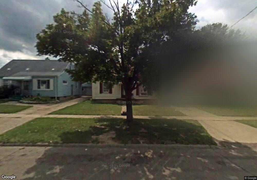
937 Markham St Flint, MI 48507
South Side NeighborhoodEstimated Value: $51,000 - $97,000
3
Beds
1
Bath
942
Sq Ft
$73/Sq Ft
Est. Value
About This Home
This home is located at 937 Markham St, Flint, MI 48507 and is currently estimated at $68,725, approximately $72 per square foot. 937 Markham St is a home located in Genesee County with nearby schools including Neithercut Elementary School, Flint Southwestern Classical Academy, and International Academy of Flint (K-12).
Ownership History
Date
Name
Owned For
Owner Type
Purchase Details
Closed on
Jun 3, 2011
Sold by
Schlee Ryan
Bought by
Jmz Properties Llc
Current Estimated Value
Purchase Details
Closed on
Jul 27, 2010
Sold by
Bank Of America National Association
Bought by
Schlee Ryan
Purchase Details
Closed on
Mar 24, 2010
Sold by
Jensen Brock Karyn
Bought by
Bank Of America National Association
Purchase Details
Closed on
Dec 15, 2004
Sold by
Estate Of Robert Lee Walters
Bought by
Jenson Brock Karyn
Create a Home Valuation Report for This Property
The Home Valuation Report is an in-depth analysis detailing your home's value as well as a comparison with similar homes in the area
Home Values in the Area
Average Home Value in this Area
Purchase History
| Date | Buyer | Sale Price | Title Company |
|---|---|---|---|
| Jmz Properties Llc | -- | Sargents Title Company | |
| Schlee Ryan | $7,000 | C E M Title Agency Inc | |
| Bank Of America National Association | $18,279 | None Available | |
| Jenson Brock Karyn | $45,000 | Guaranty Title Company |
Source: Public Records
Tax History
| Year | Tax Paid | Tax Assessment Tax Assessment Total Assessment is a certain percentage of the fair market value that is determined by local assessors to be the total taxable value of land and additions on the property. | Land | Improvement |
|---|---|---|---|---|
| 2025 | $1,405 | $25,300 | $0 | $0 |
| 2024 | $1,295 | $22,200 | $0 | $0 |
| 2023 | $1,261 | $17,400 | $0 | $0 |
| 2022 | $0 | $16,300 | $0 | $0 |
| 2021 | $1,281 | $14,000 | $0 | $0 |
| 2020 | $662 | $13,100 | $0 | $0 |
| 2019 | $654 | $11,000 | $0 | $0 |
| 2018 | $624 | $12,100 | $0 | $0 |
| 2017 | $611 | $0 | $0 | $0 |
| 2016 | $607 | $0 | $0 | $0 |
| 2015 | -- | $0 | $0 | $0 |
| 2014 | -- | $0 | $0 | $0 |
| 2012 | -- | $7,600 | $0 | $0 |
Source: Public Records
Map
Nearby Homes
- 846 W Hemphill Rd
- 1122 Markham St
- 912 Huron St
- 1015 Alvord Ave
- 829 Clinton St
- 1210 Pinehurst Ave
- 845 Alvord Ave
- 805 Alvord Ave
- 806 Alvord Ave
- 1234 Huron St
- 1216 E Hemphill Rd
- 1318 Ingleside Ave
- 1310 Huron St
- 1219 Norton St
- 3902 Brunswick Ave
- 1028 Campbell St
- 822 Campbell St
- 652 Crawford St
- 612 Clinton St
- 1627 Blackberry Ln
- 941 Markham St
- 931 Markham St
- 945 Markham St
- 925 Markham St
- 922 W Hemphill Rd
- 919 Markham St
- 932 Markham St
- 950 W Hemphill Rd
- 936 Markham St
- 913 Markham St
- 924 Markham St
- 940 Markham St
- 920 Markham St
- 927 Major St
- 944 Markham St
- 907 Markham St
- 952 Markham St
- 4619 Fenton Rd
- 956 Markham St
- 901 Markham St
Your Personal Tour Guide
Ask me questions while you tour the home.