937 Taproot Way Newport, TN 37821
Estimated Value: $85,000 - $202,000
--
Bed
--
Bath
845
Sq Ft
$173/Sq Ft
Est. Value
About This Home
This home is located at 937 Taproot Way, Newport, TN 37821 and is currently estimated at $146,193, approximately $173 per square foot. 937 Taproot Way is a home located in Cocke County with nearby schools including Bridgeport Elementary School and Cocke County High School.
Ownership History
Date
Name
Owned For
Owner Type
Purchase Details
Closed on
Jul 14, 2014
Sold by
Elmore Elizabeth Ann Baker
Bought by
Auler James L and Auler Pamlan R
Current Estimated Value
Purchase Details
Closed on
May 10, 2006
Sold by
Jenkins Danny
Bought by
Carpenter Edwin
Purchase Details
Closed on
Apr 10, 2006
Sold by
Overholt Sanford
Bought by
Jenkins Danny
Purchase Details
Closed on
Jan 23, 1995
Sold by
Kidd Michael
Bought by
Overholt Sanford
Purchase Details
Closed on
Nov 15, 1994
Sold by
Googan Charles
Bought by
Kidd Michael
Create a Home Valuation Report for This Property
The Home Valuation Report is an in-depth analysis detailing your home's value as well as a comparison with similar homes in the area
Home Values in the Area
Average Home Value in this Area
Purchase History
| Date | Buyer | Sale Price | Title Company |
|---|---|---|---|
| Auler James L | $15,000 | -- | |
| Carpenter Edwin | $32,000 | -- | |
| Jenkins Danny | $18,000 | -- | |
| Overholt Sanford | $5,000 | -- | |
| Kidd Michael | -- | -- |
Source: Public Records
Tax History Compared to Growth
Tax History
| Year | Tax Paid | Tax Assessment Tax Assessment Total Assessment is a certain percentage of the fair market value that is determined by local assessors to be the total taxable value of land and additions on the property. | Land | Improvement |
|---|---|---|---|---|
| 2024 | $374 | $14,600 | $4,825 | $9,775 |
| 2023 | $0 | $14,600 | $4,825 | $9,775 |
| 2022 | $374 | $14,600 | $4,825 | $9,775 |
| 2021 | $374 | $14,600 | $4,825 | $9,775 |
| 2020 | $105 | $4,825 | $4,825 | $0 |
| 2019 | $105 | $3,725 | $3,725 | $0 |
| 2018 | $105 | $3,725 | $3,725 | $0 |
| 2017 | $108 | $3,725 | $3,725 | $0 |
| 2016 | $96 | $3,725 | $3,725 | $0 |
| 2015 | $152 | $3,725 | $3,725 | $0 |
| 2014 | $152 | $3,725 | $3,725 | $0 |
| 2013 | $152 | $6,350 | $6,350 | $0 |
Source: Public Records
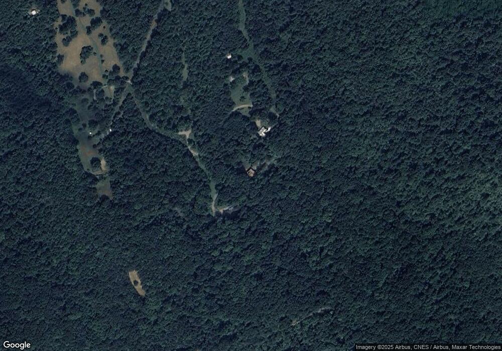
Map
Nearby Homes
- 0 11 Acres Hartford Rd Rd
- 410 Angel Way
- 408 Angel Way
- 1390 Wright Rd
- 11.6 Acres Video Way
- 5 Acres Video Way
- 6.6 Acres Video Way
- 815 Video Way
- Lot 9 Redbud Dr
- 518 Video Way
- 630 Iris Hill Way
- 0 Eagle Mountain Way
- 1976 Hartford Rd
- 1509 Sawmill Rd
- 1580 Restful Way
- 1271 Shady Rest Dr
- 1217 Sweetwater Rd
- 1312 Sweetwater Rd
- 1271 Sweetwater Rd Unit 1273
- 0 Martin Way
- 955 Taproot Way
- 929 Taproot Way
- 1848 Halls Cemetery Rd
- Lot 6 Halls Cemetery Rd
- 1016 Branch Dr
- 1028 Branch Dr
- 1028 Branch Dr
- 1028 Branch Dr
- 1028 Branch Dr
- 1024 Branch Dr
- 1024 Branch Dr
- 935 Chicken Hollow Rd
- 969 Chicken Hollow Rd
- 0 Chicken Hollow Rd Unit 244102
- 0 Chicken Hollow Rd
- 1009 Branch Dr
- 1710 Halls Cemetery Rd
- 956 Chicken Hollow Rd
- 968 Chicken Hollow Rd
- 952 Chicken Hollow Rd Unit 954