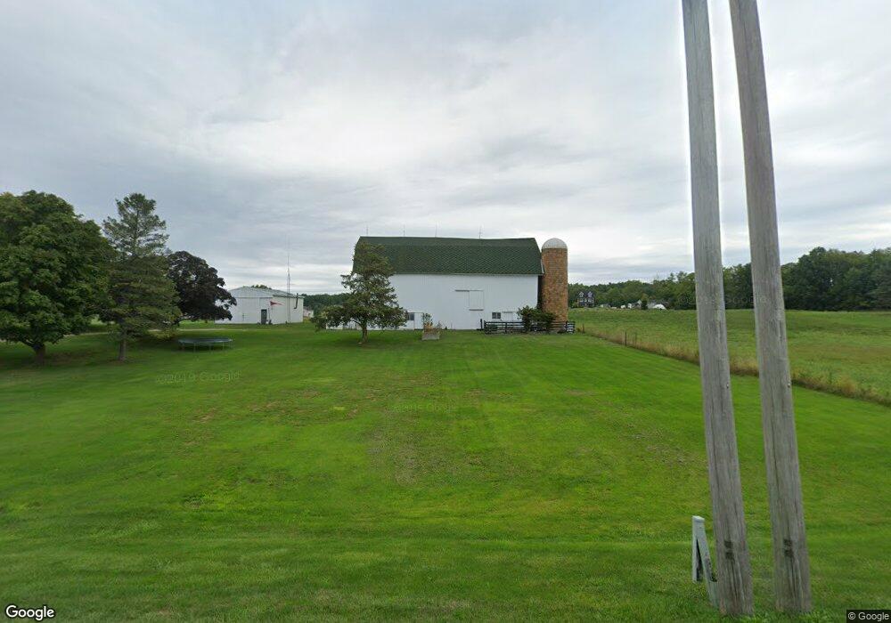
9373 Island Hwy Eaton Rapids, MI 48827
Estimated Value: $231,000 - $295,000
3
Beds
1
Bath
1,232
Sq Ft
$213/Sq Ft
Est. Value
About This Home
This home is located at 9373 Island Hwy, Eaton Rapids, MI 48827 and is currently estimated at $262,127, approximately $212 per square foot. 9373 Island Hwy is a home located in Eaton County with nearby schools including Lockwood Elementary School, Greyhound Intermediate School, and Eaton Rapids Middle School.
Ownership History
Date
Name
Owned For
Owner Type
Purchase Details
Closed on
May 26, 2006
Sold by
Ford Tamara J
Bought by
Holtham Robert J and Holtham Ronda S
Current Estimated Value
Home Financials for this Owner
Home Financials are based on the most recent Mortgage that was taken out on this home.
Original Mortgage
$142,200
Outstanding Balance
$83,836
Interest Rate
6.62%
Mortgage Type
Fannie Mae Freddie Mac
Estimated Equity
$178,291
Create a Home Valuation Report for This Property
The Home Valuation Report is an in-depth analysis detailing your home's value as well as a comparison with similar homes in the area
Home Values in the Area
Average Home Value in this Area
Purchase History
| Date | Buyer | Sale Price | Title Company |
|---|---|---|---|
| Holtham Robert J | $158,000 | None Available |
Source: Public Records
Mortgage History
| Date | Status | Borrower | Loan Amount |
|---|---|---|---|
| Open | Holtham Robert J | $142,200 |
Source: Public Records
Tax History Compared to Growth
Tax History
| Year | Tax Paid | Tax Assessment Tax Assessment Total Assessment is a certain percentage of the fair market value that is determined by local assessors to be the total taxable value of land and additions on the property. | Land | Improvement |
|---|---|---|---|---|
| 2025 | $2,451 | $104,900 | $0 | $0 |
| 2024 | $824 | $100,000 | $0 | $0 |
| 2023 | $800 | $90,500 | $0 | $0 |
| 2022 | $2,163 | $83,500 | $0 | $0 |
| 2021 | $1,883 | $79,400 | $0 | $0 |
| 2020 | $1,859 | $75,500 | $0 | $0 |
| 2019 | $1,839 | $68,000 | $0 | $0 |
| 2018 | $1,796 | $62,900 | $11,300 | $51,600 |
| 2017 | $1,693 | $62,900 | $11,300 | $51,600 |
| 2016 | -- | $62,900 | $11,300 | $51,600 |
| 2015 | -- | $62,900 | $11,300 | $51,600 |
| 2014 | -- | $58,670 | $0 | $0 |
| 2013 | -- | $58,800 | $0 | $0 |
Source: Public Records
Map
Nearby Homes
- 8595 Columbia Hwy
- 8905 Kingsland Hwy
- 11249 Columbia Hwy
- 472 S Waverly Rd
- Parcel B Dawn Marie Ln
- Parcel H Dawn Marie Ln
- 6401 Curtice Rd
- V / L S Canfield Rd
- 9469 Rossman Hwy
- 518 Clark St
- 119 Branson Bay Dr
- 108 Division St
- 220 Dexter Rd
- 210 Diana St
- 215 E Knight St
- 329 W Knight St
- 101 S East St
- 100 S Center St
- 896 Waverly Rd
- 3630 Whittum Rd
- 9453 Island Hwy
- 125 Mayfield Ln
- 204 Mayfield Ln
- 9292 Island Hwy
- 9235 Island Hwy
- 9224 Island Hwy
- 9380 Island Hwy
- 9592 Island Hwy
- 9487 Island Hwy
- 285 Mayfield Ln
- 300 Mayfield Ln
- 9604 Island Hwy
- 9155 Island Hwy
- 311 Mayfield Ln
- 9113 Island Hwy
- 434 Mayfield Ln
- 447 Mayfield Ln
- 164 N Canal Rd
- 980 Brandon Cir