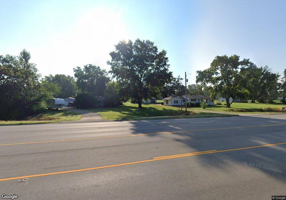
9375 Route 128 Mt. Zion, IL 62549
Estimated Value: $56,000 - $95,000
--
Bed
--
Bath
480
Sq Ft
$150/Sq Ft
Est. Value
About This Home
This home is located at 9375 Route 128, Mt. Zion, IL 62549 and is currently estimated at $71,766, approximately $149 per square foot. 9375 Route 128 is a home with nearby schools including McGaughey Elementary School, Mt. Zion Elementary School, and Mt. Zion Intermediate School.
Create a Home Valuation Report for This Property
The Home Valuation Report is an in-depth analysis detailing your home's value as well as a comparison with similar homes in the area
Home Values in the Area
Average Home Value in this Area
Tax History Compared to Growth
Tax History
| Year | Tax Paid | Tax Assessment Tax Assessment Total Assessment is a certain percentage of the fair market value that is determined by local assessors to be the total taxable value of land and additions on the property. | Land | Improvement |
|---|---|---|---|---|
| 2024 | $1,201 | $15,391 | $2,420 | $12,971 |
| 2023 | $1,169 | $14,315 | $2,251 | $12,064 |
| 2022 | $1,124 | $13,578 | $2,135 | $11,443 |
| 2021 | $1,097 | $12,720 | $2,000 | $10,720 |
| 2020 | $1,386 | $16,260 | $2,279 | $13,981 |
| 2019 | $1,386 | $16,260 | $2,279 | $13,981 |
| 2018 | $1,348 | $15,845 | $2,221 | $13,624 |
| 2017 | $1,332 | $15,540 | $2,178 | $13,362 |
| 2016 | $1,321 | $15,270 | $2,140 | $13,130 |
| 2015 | $1,279 | $15,119 | $2,119 | $13,000 |
| 2014 | $1,242 | $15,119 | $2,119 | $13,000 |
| 2013 | $1,248 | $15,119 | $2,119 | $13,000 |
Source: Public Records
Map
Nearby Homes
- 524 Elm St
- 125 W Walnut St
- 400 Maddox Dr
- 355 S Henderson St
- 402 Rolling Green Dr
- 820 Kirk Dr
- 265 Carrington Ave
- 925 S Wildwood Dr
- 570 Fawn Ct
- 574 N Antler Dr
- 1440 N Alexander Dr
- 1610 Robin Ct
- 860 W Wildwood Dr
- 3930 S Mount Zion Rd
- 24 Buttonridge Place
- 50 Sundance Dr
- 6680 John Dr
- Lot 32 Janine Way
- 1820 Buckhead Ln
- Lot 1 Fletcher Ln