938 Kiowa Dr E Gainesville, TX 76240
Estimated Value: $972,000 - $1,084,029
4
Beds
4
Baths
2,632
Sq Ft
$390/Sq Ft
Est. Value
About This Home
This home is located at 938 Kiowa Dr E, Gainesville, TX 76240 and is currently estimated at $1,027,343, approximately $390 per square foot. 938 Kiowa Dr E is a home located in Cooke County with nearby schools including Callisburg Elementary School, Callisburg Middle School, and Callisburg High School.
Ownership History
Date
Name
Owned For
Owner Type
Purchase Details
Closed on
Jan 21, 2016
Sold by
Brown Lawrence Jack and Lawrence Jack Brown Revocable
Bought by
Brown Lawrence Jack and Brown Diana Day
Current Estimated Value
Purchase Details
Closed on
May 16, 2014
Sold by
Collum Garry Lynn
Bought by
Brown Lawrence Jack
Purchase Details
Closed on
Feb 15, 2013
Sold by
Collum Garry Lynn
Bought by
Hal Edward Collum Trust
Create a Home Valuation Report for This Property
The Home Valuation Report is an in-depth analysis detailing your home's value as well as a comparison with similar homes in the area
Purchase History
| Date | Buyer | Sale Price | Title Company |
|---|---|---|---|
| Brown Lawrence Jack | -- | None Available | |
| Brown Lawrence Jack | -- | Security Title Inc | |
| Hal Edward Collum Trust | -- | None Available |
Source: Public Records
Tax History
| Year | Tax Paid | Tax Assessment Tax Assessment Total Assessment is a certain percentage of the fair market value that is determined by local assessors to be the total taxable value of land and additions on the property. | Land | Improvement |
|---|---|---|---|---|
| 2025 | $13,683 | $1,154,490 | $724,270 | $430,220 |
| 2024 | $13,683 | $1,170,860 | $740,949 | $429,911 |
| 2023 | $11,525 | $902,744 | $398,474 | $504,270 |
| 2022 | $11,787 | $794,665 | $367,800 | $426,865 |
| 2021 | $10,845 | $593,028 | $290,917 | $302,111 |
| 2020 | $11,474 | $588,726 | $266,928 | $321,798 |
| 2019 | $9,827 | $504,401 | $234,091 | $270,310 |
| 2018 | $9,238 | $471,617 | $225,833 | $245,784 |
| 2017 | $8,796 | $444,886 | $208,889 | $235,997 |
| 2015 | $4,626 | $413,722 | $208,889 | $204,833 |
| 2014 | $4,626 | $393,428 | $208,889 | $184,539 |
Source: Public Records
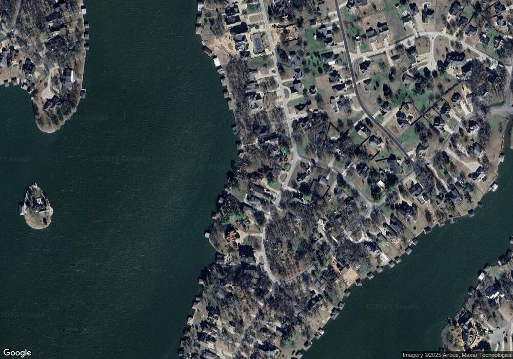
Map
Nearby Homes
- 102 Bowie Cove
- 111 Bowie Dr
- 827 Kiowa Dr W
- 116 Seminole Dr
- 114 Seminole Dr
- 600 Kiowa Dr E
- 716 Kiowa Dr E
- 822 Kiowa Dr W
- 104 Navajo Trail
- 102 Huron Trail
- 736 Kiowa Dr W
- 102 Santee Dr
- 912 Kiowa Dr W
- 734 Kiowa Dr W
- 1125 Kiowa Dr E
- 104 Pontiac Dr
- 105 Cheyenne Dr
- Lot 2 Apache Cove
- Lot 3 Apache Cove
- Lot 7 Apache Cove
- 940 Kiowa Dr E
- 936 Kiowa Dr E
- 942 Kiowa Dr E
- 934 Kiowa Dr E
- 1000 Kiowa Dr E
- 1002 Kiowa Dr E
- 932 Kiowa Dr E
- 925 Kiowa Dr E
- 106 Longhorn Dr
- 930 Kiowa Dr E
- 104 Longhorn Dr
- 928 Kiowa Dr E
- 111 Longhorn Dr
- 921 Kiowa Dr E
- 1001 Kiowa Dr E
- 1008 Kiowa Dr E
- 1003 Kiowa Dr E
- 917 Kiowa Dr E
- 109 Longhorn Dr
- 1010 Kiowa Dr E
Your Personal Tour Guide
Ask me questions while you tour the home.