9383 Arthur Dr Brainerd, MN 56401
Estimated Value: $506,000 - $582,661
3
Beds
4
Baths
1,816
Sq Ft
$297/Sq Ft
Est. Value
About This Home
This home is located at 9383 Arthur Dr, Brainerd, MN 56401 and is currently estimated at $538,915, approximately $296 per square foot. 9383 Arthur Dr is a home located in Crow Wing County with nearby schools including Harrison Elementary School, Forestview Middle School, and Brainerd Senior High School.
Ownership History
Date
Name
Owned For
Owner Type
Purchase Details
Closed on
Oct 13, 2022
Sold by
Nelson Michael and Nelson Judy
Bought by
Spencer Jill and Holmbo Candace
Current Estimated Value
Purchase Details
Closed on
May 20, 2020
Sold by
Blake Teri L
Bought by
Nelson Michael D Living Trust
Purchase Details
Closed on
Aug 1, 2011
Bought by
Blake Thomas R and Blake Teri L
Purchase Details
Closed on
Jul 1, 2010
Bought by
Blake Thomas R and Blake Teri L
Create a Home Valuation Report for This Property
The Home Valuation Report is an in-depth analysis detailing your home's value as well as a comparison with similar homes in the area
Purchase History
| Date | Buyer | Sale Price | Title Company |
|---|---|---|---|
| Spencer Jill | $428,500 | -- | |
| Nelson Michael D Living Trust | $344,091 | Elite Title & Escrow Corp | |
| Blake Thomas R | $310,000 | -- | |
| Blake Thomas R | $310,000 | -- |
Source: Public Records
Tax History
| Year | Tax Paid | Tax Assessment Tax Assessment Total Assessment is a certain percentage of the fair market value that is determined by local assessors to be the total taxable value of land and additions on the property. | Land | Improvement |
|---|---|---|---|---|
| 2025 | $3,474 | $614,100 | $322,700 | $291,400 |
| 2024 | $3,474 | $548,300 | $281,200 | $267,100 |
| 2023 | $3,860 | $576,200 | $318,000 | $258,200 |
| 2022 | $3,356 | $576,000 | $295,400 | $280,600 |
| 2021 | $3,504 | $375,200 | $229,800 | $145,400 |
| 2020 | $3,456 | $372,800 | $236,300 | $136,500 |
| 2019 | $3,310 | $373,200 | $222,400 | $150,800 |
| 2018 | $1,566 | $221,800 | $107,700 | $114,100 |
| 2017 | $1,548 | $178,700 | $104,800 | $73,900 |
| 2016 | $1,530 | $166,100 | $99,300 | $66,800 |
| 2015 | $1,396 | $147,300 | $84,000 | $63,300 |
| 2014 | $705 | $147,900 | $84,000 | $63,900 |
Source: Public Records
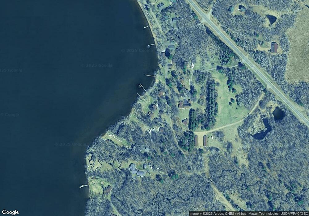
Map
Nearby Homes
- 15419 Lake Ave
- TBD Rognaldson Rd
- 12084 County Road 144
- 10013 Cr-108
- LOT 7 BLK 2 Soder Rd
- TBD Riverside Dr
- Lot 3 BLK 2 Soder Rd
- Lot 10 Lindroth Dr
- XXX Crust Rd
- 12157 Butternut Rd SE
- 12222 Three Mile Rd
- 12xxx County Road 8
- 0000 Meadowview Rd
- 10038 County Road 8
- 14076 Trails End Ln
- TBD Butternut Rd SE
- 13400 State Highway 18
- 14126 Oak Hollow Rd
- 12108 Oakridge Rd
- LOT A Minnesota 18
- 9385 Arthur Dr
- 9389 Arthur Dr
- 9337 Meadow Brook Ln
- 9357 Lindroth Ln
- 9437 County Road 23
- 9437 County Road 23
- 9437 County Road 23
- 9437 County Road 23 Unit 3
- 9365 Lindroth Ln
- 9347 Meadow Brook Ln
- 9374 Lindroth Ln
- 0 Lot 10 Lindroth Dr Unit 6260883
- 9425 Arthur Dr
- 9327 Meadow Brook Ln
- 0 Lot 11 Meadow Brook Ln Unit 6260894
- 9303 Meadow Brook Ln
- 9608 Leisure Ln
- 9363 Arthur Dr
- 9616 Leisure Ln
- Lot 10 Lone Pine Estates
Your Personal Tour Guide
Ask me questions while you tour the home.