Estimated Value: $544,000 - $571,000
3
Beds
2
Baths
2,180
Sq Ft
$253/Sq Ft
Est. Value
About This Home
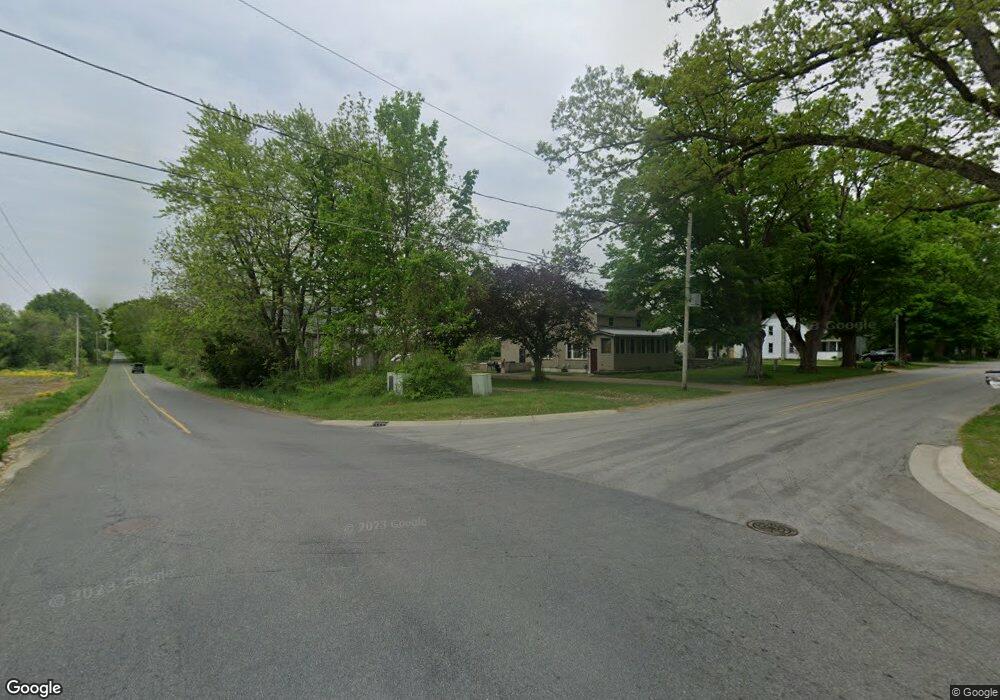
This home is located at 9389 Andrew Farm Dr SE, Alto, MI 49302 and is currently estimated at $552,259, approximately $253 per square foot. 9389 Andrew Farm Dr SE is a home located in Kent County with nearby schools including Caledonia Elementary School, Kettle Lake Elementary School, and Emmons Lake Elementary School.
Ownership History
Date
Name
Owned For
Owner Type
Purchase Details
Closed on
Aug 28, 2014
Sold by
Thornapple Developers Llc
Bought by
Langeland Joel and Langeland Jessie
Current Estimated Value
Home Financials for this Owner
Home Financials are based on the most recent Mortgage that was taken out on this home.
Original Mortgage
$243,900
Interest Rate
4.15%
Mortgage Type
Construction
Purchase Details
Closed on
Dec 16, 2005
Sold by
Inthout Nicolaas and Inthout Johanna M
Bought by
Thornapple Developers Llc
Purchase Details
Closed on
Feb 20, 2004
Sold by
Thornapple Developers Llc
Bought by
Inthout Nicolaas
Create a Home Valuation Report for This Property
The Home Valuation Report is an in-depth analysis detailing your home's value as well as a comparison with similar homes in the area
Home Values in the Area
Average Home Value in this Area
Purchase History
| Date | Buyer | Sale Price | Title Company |
|---|---|---|---|
| Langeland Joel | $40,000 | None Available | |
| Thornapple Developers Llc | $39,003 | -- | |
| Inthout Nicolaas | $37,266 | -- |
Source: Public Records
Mortgage History
| Date | Status | Borrower | Loan Amount |
|---|---|---|---|
| Closed | Langeland Joel | $243,900 |
Source: Public Records
Tax History Compared to Growth
Tax History
| Year | Tax Paid | Tax Assessment Tax Assessment Total Assessment is a certain percentage of the fair market value that is determined by local assessors to be the total taxable value of land and additions on the property. | Land | Improvement |
|---|---|---|---|---|
| 2025 | $3,478 | $233,800 | $0 | $0 |
| 2024 | $3,478 | $214,100 | $0 | $0 |
| 2023 | $3,326 | $195,700 | $0 | $0 |
| 2022 | $4,584 | $181,400 | $0 | $0 |
| 2021 | $4,491 | $169,500 | $0 | $0 |
| 2020 | $3,062 | $159,600 | $0 | $0 |
| 2019 | $4,392 | $151,500 | $0 | $0 |
| 2018 | $4,312 | $146,200 | $0 | $0 |
| 2017 | $4,125 | $134,700 | $0 | $0 |
| 2016 | $3,969 | $45,000 | $0 | $0 |
| 2015 | $1,704 | $45,000 | $0 | $0 |
| 2013 | -- | $20,500 | $0 | $0 |
Source: Public Records
Map
Nearby Homes
- 9430 Whitneyville Ave SE
- 9434 84th St SE
- 10188 Whitneyville Ave SE
- 9250 92nd St SE
- 9410 Sanborn Ave SE
- 8546 Whitneyville Ave SE
- 7951 Snow View Dr SE
- 7951 Snow View SE
- 8477 84th St SE
- 7946 Snow View Dr SE
- 8300 Arapaho Trail SE
- 10159 E Rivershore Dr SE
- Traditions 2800 V8.0b Plan at Snow Valley - Traditions
- Traditions 2330 V8.0b Plan at Snow Valley - Traditions
- Elements 2390 Plan at Snow Valley
- Elements 2200 Plan at Snow Valley
- Elements 2090 Plan at Snow Valley
- Traditions 3400 V8.0b Plan at Snow Valley - Traditions
- Elements 2070 Plan at Snow Valley
- Traditions 2900 V8.2b Plan at Snow Valley - Traditions
- 9365 Andrew Farms Dr Unit 3
- 9365 Andrew Farm Dr SE Unit 3
- 9522 Andrew Farms Dr
- 9496 Andrew Farms Dr
- 9546 Andrew Farms Dr
- 9499 Plow Point Ct SE Unit 25
- 9447 Andrew Farms Dr
- 9492 Binder Ct
- 9447 Andrew Farm Dr SE
- 9337 Andrew Farm Dr SE Unit 2
- 9490 Plow Point Ct SE
- 9517 Plow Point Ct SE Unit 24
- 9460 Vincent Ave SE
- 9520 Binder Ct SE
- 9301 Andrew Farm Dr SE Unit 1
- 9301 Andrew Farm Dr SE
- 9473 Andrew Farm Dr SE
- 9514 Plow Point Ct SE
- 0 Binder Ct Unit LOT 3
- 9544 Binder Ct SE Unit 28
