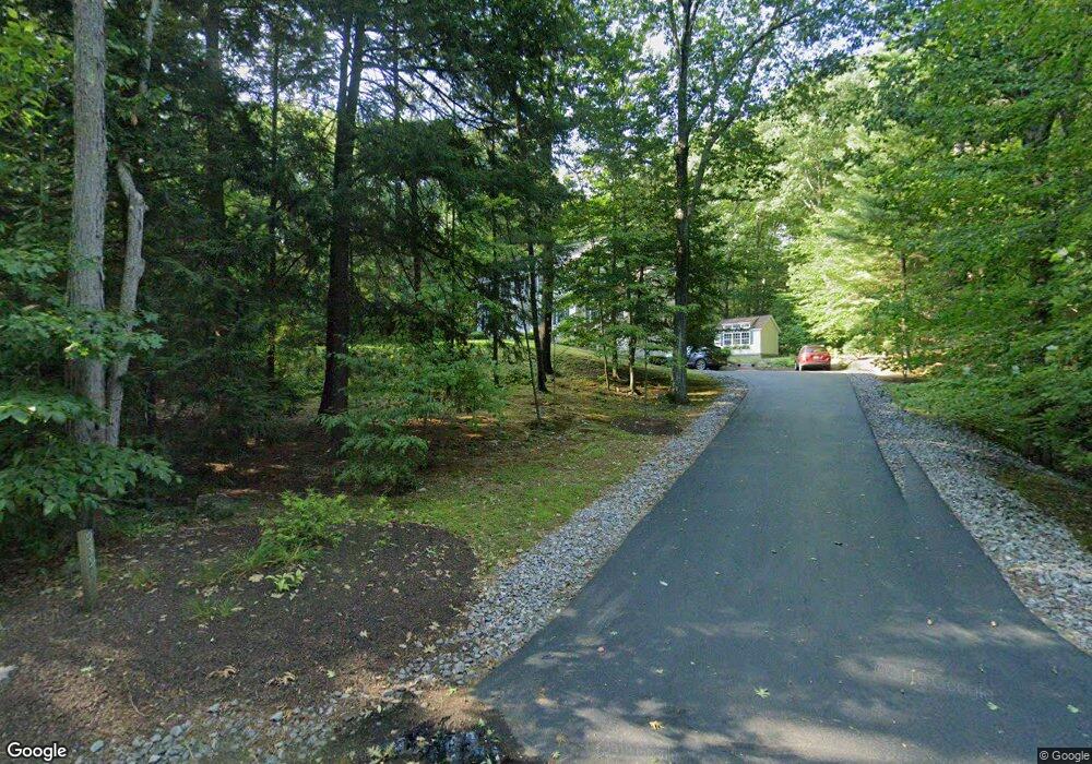
939 Back Mountain Rd Goffstown, NH 03045
Estimated Value: $575,000 - $631,483
3
Beds
3
Baths
2,056
Sq Ft
$290/Sq Ft
Est. Value
About This Home
This home is located at 939 Back Mountain Rd, Goffstown, NH 03045 and is currently estimated at $596,871, approximately $290 per square foot. 939 Back Mountain Rd is a home with nearby schools including Mountain View Middle School and Goffstown High School.
Ownership History
Date
Name
Owned For
Owner Type
Purchase Details
Closed on
Jan 25, 2012
Sold by
Pouliot Marcel J and Pouliot Mary J
Bought by
Pouliot Ft and Pouliot Mary J
Current Estimated Value
Purchase Details
Closed on
Nov 2, 1999
Sold by
Brookfield Invst Group
Bought by
Pouliot Marcel J and Pouliot Mary Jeanne
Home Financials for this Owner
Home Financials are based on the most recent Mortgage that was taken out on this home.
Original Mortgage
$65,000
Interest Rate
7.78%
Create a Home Valuation Report for This Property
The Home Valuation Report is an in-depth analysis detailing your home's value as well as a comparison with similar homes in the area
Home Values in the Area
Average Home Value in this Area
Purchase History
| Date | Buyer | Sale Price | Title Company |
|---|---|---|---|
| Pouliot Ft | -- | -- | |
| Pouliot Marcel J | $194,900 | -- |
Source: Public Records
Mortgage History
| Date | Status | Borrower | Loan Amount |
|---|---|---|---|
| Previous Owner | Pouliot Marcel J | $65,000 |
Source: Public Records
Tax History Compared to Growth
Tax History
| Year | Tax Paid | Tax Assessment Tax Assessment Total Assessment is a certain percentage of the fair market value that is determined by local assessors to be the total taxable value of land and additions on the property. | Land | Improvement |
|---|---|---|---|---|
| 2024 | $10,903 | $533,400 | $191,000 | $342,400 |
| 2023 | $10,060 | $533,400 | $191,000 | $342,400 |
| 2022 | $9,130 | $347,000 | $124,100 | $222,900 |
| 2021 | $8,613 | $347,000 | $124,100 | $222,900 |
| 2020 | $0 | $347,000 | $124,100 | $222,900 |
| 2019 | $8,529 | $347,000 | $124,100 | $222,900 |
| 2018 | $0 | $347,000 | $124,100 | $222,900 |
| 2017 | $8,253 | $301,000 | $103,200 | $197,800 |
| 2016 | $0 | $301,000 | $103,200 | $197,800 |
| 2015 | $7,660 | $272,000 | $89,300 | $182,700 |
| 2014 | $7,344 | $272,000 | $89,300 | $182,700 |
Source: Public Records
Map
Nearby Homes
- 914 Back Mountain Rd
- 99 Cambridge Rd
- 27 Birkdale Rd Unit LOTS 170/171
- 9 Cherry Ln
- 3 Tanager Rd
- 21A Apple Tree Dr
- 17 Oriole Dr
- 28 Olde Lantern Rd
- 152 S Mast St
- 39 S Mast St
- 14 Angel Point Cir Unit B
- 12 S Mast St
- 24 Whippoorwill Ln
- 0 Mast Rd Unit 49 5054665
- 2 Larch St Unit 1
- Lot 6 Aisling Ln Unit Lot 6 - The Silverto
- 25 Pleasant St
- 718 Bedford Rd
- 93 Jason Dr
- 40 Tirrell Hill Rd
- 957 Back Mountain Rd
- 938 Back Mountain Rd
- 934 Back Mountain Rd
- 961 Back Mountain Rd
- 921 Back Mountain Rd
- 964 Back Mountain Rd
- 926 Back Mountain Rd
- 973 Back Mountain Rd
- 61 Tipping Rock Rd
- 972 Back Mountain Rd
- 11 Tipping Rock Rd
- 911 Back Mountain Rd
- 27 Tipping Rock Rd
- 43 Tipping Rock Rd
- 26 Tipping Rock Rd
- 8 Tipping Rock Rd
- 911 Back Mountain Rd
- 896 Back Mountain Rd
- 28 Tipping Rock Rd
- 40 Tipping Rock Rd