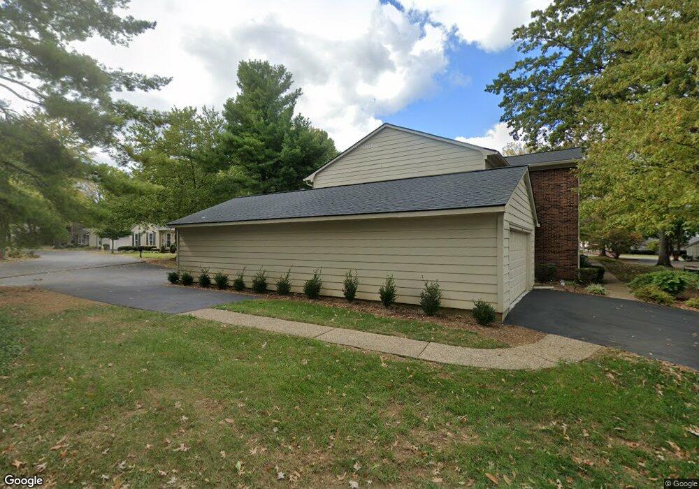
939 Burning Springs Cir Unit 4E Louisville, KY 40223
Estimated Value: $276,000 - $351,000
3
Beds
3
Baths
2,300
Sq Ft
$137/Sq Ft
Est. Value
About This Home
This home is located at 939 Burning Springs Cir Unit 4E, Louisville, KY 40223 and is currently estimated at $316,040, approximately $137 per square foot. 939 Burning Springs Cir Unit 4E is a home located in Jefferson County with nearby schools including Middletown Elementary School, Bowen Elementary School, and Greathouse Shryock Traditional Elementary School.
Ownership History
Date
Name
Owned For
Owner Type
Purchase Details
Closed on
Apr 26, 2010
Sold by
Thornton Scott A and Thornton Carolyn
Bought by
Kamboj Rajesh and Kamboj Anita
Current Estimated Value
Home Financials for this Owner
Home Financials are based on the most recent Mortgage that was taken out on this home.
Original Mortgage
$164,755
Outstanding Balance
$112,145
Interest Rate
5.37%
Mortgage Type
FHA
Estimated Equity
$203,895
Create a Home Valuation Report for This Property
The Home Valuation Report is an in-depth analysis detailing your home's value as well as a comparison with similar homes in the area
Home Values in the Area
Average Home Value in this Area
Purchase History
| Date | Buyer | Sale Price | Title Company |
|---|---|---|---|
| Kamboj Rajesh | $196,500 | None Available |
Source: Public Records
Mortgage History
| Date | Status | Borrower | Loan Amount |
|---|---|---|---|
| Open | Kamboj Rajesh | $164,755 |
Source: Public Records
Tax History Compared to Growth
Tax History
| Year | Tax Paid | Tax Assessment Tax Assessment Total Assessment is a certain percentage of the fair market value that is determined by local assessors to be the total taxable value of land and additions on the property. | Land | Improvement |
|---|---|---|---|---|
| 2024 | $2,540 | $223,200 | $0 | $223,200 |
| 2023 | $2,585 | $223,200 | $0 | $223,200 |
| 2022 | $2,886 | $161,110 | $0 | $161,110 |
| 2021 | $2,022 | $161,110 | $0 | $161,110 |
| 2020 | $1,856 | $161,110 | $0 | $161,110 |
| 2019 | $1,819 | $161,110 | $0 | $161,110 |
| 2018 | $226 | $161,110 | $0 | $161,110 |
| 2017 | $1,691 | $161,110 | $0 | $161,110 |
| 2013 | $1,965 | $196,500 | $0 | $196,500 |
Source: Public Records
Map
Nearby Homes
- 1006 Burning Springs Dr Unit 2E
- 10505 Burns Ct Unit 43
- 749 Yorkwood Place Unit 25U
- 642 Cambridge Station Rd
- 754 Yorkwood Place Unit 101
- 744 Yorkwood Place Unit 91U
- 622 Cambridge Station Rd
- 616 Cambridge Station Rd
- 1303 Limestone Trace
- 806 Nottingham Pkwy
- 1110 Marquis Trace
- 10308 Amy Lynn Ct
- 713 Cadogan Ct
- 10405 Croswell Trace
- 10218 Falling Tree Way
- 1212 Inverary Ct Unit 7
- 511 Pennyroyal Way
- 10612 Edgewater Rd
- 1212 Rock Falls Trace
- 9537 Wessex Place
- 943 Burning Springs Cir
- 1000 Burning Springs Dr
- 945 Burning Springs Cir
- 1002 Burning Springs Dr Unit 2D
- 934 Burning Springs Cir
- 940 Burning Springs Cir
- 936 Burning Springs Cir
- 942 Burning Springs Cir
- 938 Burning Springs Cir Unit 4E
- 932 Burning Springs Cir Unit 1E
- 944 Burning Springs Cir Unit 3C
- 1001 Burning Springs Dr
- 1003 Burning Springs Cir
- 1003 Burning Springs Dr
- 930 Burning Springs Cir
- 1005 Burning Springs Dr
- 1004 Burning Springs Dr
- 931 Burning Springs Cir Unit 1B
- 928 Burning Springs Cir
- 1015 Burning Springs Cir