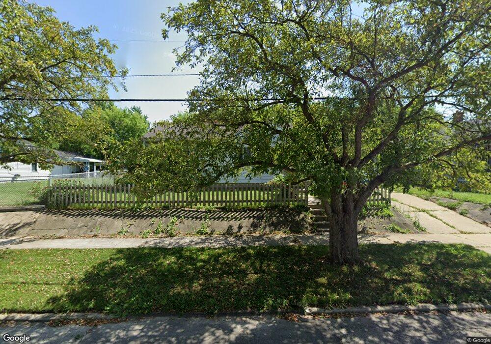
939 Major St Flint, MI 48507
South Side NeighborhoodEstimated Value: $50,571 - $58,000
2
Beds
1
Bath
891
Sq Ft
$60/Sq Ft
Est. Value
About This Home
This home is located at 939 Major St, Flint, MI 48507 and is currently estimated at $53,893, approximately $60 per square foot. 939 Major St is a home located in Genesee County with nearby schools including Neithercut Elementary School, Flint Southwestern Classical Academy, and International Academy of Flint (K-12).
Ownership History
Date
Name
Owned For
Owner Type
Purchase Details
Closed on
Dec 24, 2010
Sold by
Howe Bruce D and Howe Winifred E
Bought by
Spear Theodore D and Spear Carolyn Ruth
Current Estimated Value
Purchase Details
Closed on
Apr 24, 2000
Sold by
Spear Theodore D and Spear Carolyn Ruth
Bought by
Spear Theodore D and Spear Carolyn Ruth
Purchase Details
Closed on
Jul 1, 1999
Sold by
Michigan National Bank
Bought by
Howe Bruce D and Howe Winifred E
Create a Home Valuation Report for This Property
The Home Valuation Report is an in-depth analysis detailing your home's value as well as a comparison with similar homes in the area
Home Values in the Area
Average Home Value in this Area
Purchase History
| Date | Buyer | Sale Price | Title Company |
|---|---|---|---|
| Spear Theodore D | $28,500 | Centennial Title & Abstract | |
| Spear Theodore D | -- | Centennial Title & Abstract | |
| Howe Bruce D | -- | Centennial Title Co |
Source: Public Records
Tax History
| Year | Tax Paid | Tax Assessment Tax Assessment Total Assessment is a certain percentage of the fair market value that is determined by local assessors to be the total taxable value of land and additions on the property. | Land | Improvement |
|---|---|---|---|---|
| 2025 | $1,011 | $20,900 | $0 | $0 |
| 2024 | $915 | $21,600 | $0 | $0 |
| 2023 | $898 | $17,400 | $0 | $0 |
| 2022 | $0 | $14,800 | $0 | $0 |
| 2021 | $934 | $13,400 | $0 | $0 |
| 2020 | $842 | $13,400 | $0 | $0 |
| 2019 | $820 | $13,800 | $0 | $0 |
| 2018 | $821 | $12,300 | $0 | $0 |
| 2017 | $798 | $0 | $0 | $0 |
| 2016 | $793 | $0 | $0 | $0 |
| 2015 | -- | $0 | $0 | $0 |
| 2014 | -- | $0 | $0 | $0 |
| 2012 | -- | $14,900 | $0 | $0 |
Source: Public Records
Map
Nearby Homes
- 912 Huron St
- 846 W Hemphill Rd
- 1015 Alvord Ave
- 1122 Markham St
- 1125 Ingleside Ave
- 845 Alvord Ave
- 3322 Fenton Rd
- 1210 Pinehurst Ave
- 805 Alvord Ave
- 806 Alvord Ave
- 925 Leland St
- 1234 Huron St
- 1318 Ingleside Ave
- 1310 Huron St
- 842 Leland St
- 3902 Brunswick Ave
- 1310 Alvord Ave
- 1028 Campbell St
- 1216 E Hemphill Rd
- 822 Campbell St
Your Personal Tour Guide
Ask me questions while you tour the home.