Estimated Value: $294,000 - $387,000
4
Beds
3
Baths
2,657
Sq Ft
$128/Sq Ft
Est. Value
About This Home
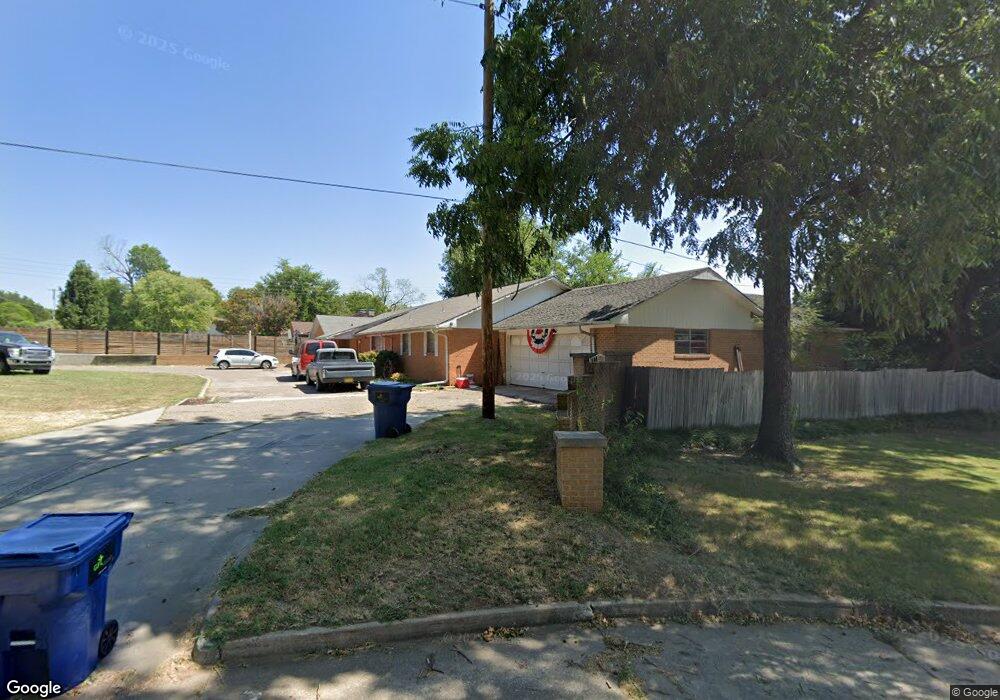
This home is located at 939 W Kings Rd, Ada, OK 74820 and is currently estimated at $339,827, approximately $127 per square foot. 939 W Kings Rd is a home located in Pontotoc County with nearby schools including ADA Early Childhood Center, Washington Elementary School, and Hayes Elementary School.
Ownership History
Date
Name
Owned For
Owner Type
Purchase Details
Closed on
Jul 6, 2004
Sold by
First Nat Bank & Trust
Bought by
Robert Robert S and Robert Simpson
Current Estimated Value
Purchase Details
Closed on
Nov 26, 2002
Sold by
Patricia Zack and Patricia Tate
Bought by
First Nat Bank & Tr Ada
Purchase Details
Closed on
Jun 13, 2000
Sold by
Colleen Harrell
Bought by
Patricia Zack and Patricia Tate
Purchase Details
Closed on
Sep 1, 1993
Sold by
Zenobia Jack and Zenobia Pettett
Bought by
Colleen Harrell
Create a Home Valuation Report for This Property
The Home Valuation Report is an in-depth analysis detailing your home's value as well as a comparison with similar homes in the area
Home Values in the Area
Average Home Value in this Area
Purchase History
| Date | Buyer | Sale Price | Title Company |
|---|---|---|---|
| Robert Robert S | $135,000 | -- | |
| First Nat Bank & Tr Ada | $128,000 | -- | |
| Patricia Zack | $95,000 | -- | |
| Colleen Harrell | $95,000 | -- |
Source: Public Records
Tax History Compared to Growth
Tax History
| Year | Tax Paid | Tax Assessment Tax Assessment Total Assessment is a certain percentage of the fair market value that is determined by local assessors to be the total taxable value of land and additions on the property. | Land | Improvement |
|---|---|---|---|---|
| 2025 | $1,982 | $20,625 | $2,960 | $17,665 |
| 2024 | $1,982 | $20,025 | $2,874 | $17,151 |
| 2023 | $1,982 | $19,441 | $2,807 | $16,634 |
| 2022 | $1,872 | $19,441 | $2,806 | $16,635 |
| 2021 | $1,618 | $18,324 | $2,637 | $15,687 |
| 2020 | $1,612 | $17,791 | $2,556 | $15,235 |
| 2019 | $1,564 | $17,273 | $2,478 | $14,795 |
| 2018 | $1,457 | $16,770 | $2,406 | $14,364 |
| 2017 | $1,318 | $16,282 | $2,479 | $13,803 |
| 2016 | $1,281 | $15,808 | $2,310 | $13,498 |
| 2015 | $1,260 | $15,347 | $800 | $14,547 |
| 2014 | $1,138 | $14,900 | $800 | $14,100 |
Source: Public Records
Map
Nearby Homes
- 917 W 24th St
- 919 Charles Dr
- 700 W Kings Rd
- 0000 Vacant Land (Address Tbd) Rd
- 908 W 22nd St
- 622 W 23rd St
- 500 W Kings Rd
- 1310 S Cherry St
- 730 W 19th St
- 2000 W 32nd
- 1031 S Stockton St
- 1106 S Stockton Ave
- 1018 S Cherry St
- 524 W 18th St
- 817 S Stockton St
- 120 Thompson Dr
- 14230 County Road 1560
- 100 E Kings Rd
- 15483 County Road 3540
- 500 W 16th St