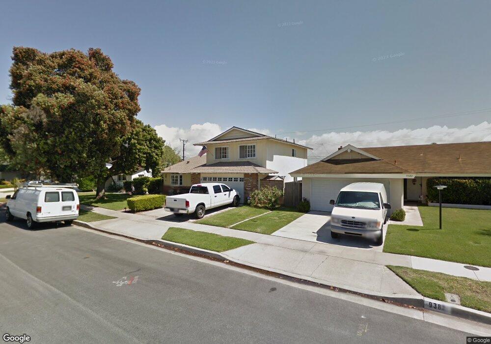
9392 Greenwich Dr Huntington Beach, CA 92646
Estimated Value: $1,349,910 - $1,571,000
3
Beds
2
Baths
1,982
Sq Ft
$741/Sq Ft
Est. Value
About This Home
This home is located at 9392 Greenwich Dr, Huntington Beach, CA 92646 and is currently estimated at $1,468,978, approximately $741 per square foot. 9392 Greenwich Dr is a home located in Orange County with nearby schools including Isojiro Oka Elementary, Talbert Middle School, and Huntington Beach High School.
Ownership History
Date
Name
Owned For
Owner Type
Purchase Details
Closed on
May 4, 2012
Sold by
Graham Kathryn C and Graham Kathryn Casey
Bought by
Graham David J and Graham Kathryn C
Current Estimated Value
Purchase Details
Closed on
Apr 25, 2012
Sold by
Casey Michael D and Casey Michael Dale
Bought by
Casey Michael D and Casey Glory T
Purchase Details
Closed on
Jan 13, 2010
Sold by
Casey Michael Dale and Graham Kathryn Casey
Bought by
Casey Michael Dale and Graham Kathryn Casey
Purchase Details
Closed on
Dec 8, 1998
Sold by
Casey Billy M and Casey Jo D
Bought by
Casey Bill M and Casey Jo D
Create a Home Valuation Report for This Property
The Home Valuation Report is an in-depth analysis detailing your home's value as well as a comparison with similar homes in the area
Home Values in the Area
Average Home Value in this Area
Purchase History
| Date | Buyer | Sale Price | Title Company |
|---|---|---|---|
| Graham David J | -- | None Available | |
| Casey Michael D | -- | None Available | |
| Casey Michael Dale | -- | None Available | |
| Casey Bill M | -- | -- |
Source: Public Records
Tax History Compared to Growth
Tax History
| Year | Tax Paid | Tax Assessment Tax Assessment Total Assessment is a certain percentage of the fair market value that is determined by local assessors to be the total taxable value of land and additions on the property. | Land | Improvement |
|---|---|---|---|---|
| 2025 | $1,407 | $94,723 | $29,336 | $65,387 |
| 2024 | $1,407 | $92,866 | $28,761 | $64,105 |
| 2023 | $1,370 | $91,046 | $28,197 | $62,849 |
| 2022 | $1,345 | $89,261 | $27,644 | $61,617 |
| 2021 | $1,322 | $87,511 | $27,102 | $60,409 |
| 2020 | $1,312 | $86,614 | $26,824 | $59,790 |
| 2019 | $1,292 | $84,916 | $26,298 | $58,618 |
| 2018 | $1,269 | $83,251 | $25,782 | $57,469 |
| 2017 | $1,250 | $81,619 | $25,276 | $56,343 |
| 2016 | $1,206 | $80,019 | $24,780 | $55,239 |
| 2015 | $1,187 | $78,818 | $24,408 | $54,410 |
| 2014 | $1,164 | $77,275 | $23,930 | $53,345 |
Source: Public Records
Map
Nearby Homes
- 9331 Grand Dr
- 9172 Veronica Dr
- 9121 Madeline Dr
- 19612 Sanderson Ln
- 9594 Pettswood Dr Unit 4
- 19846 Lures Ln
- 19202 Hickory Ln
- 19901 Burnley Ln
- 9667 Durham Dr
- 19843 Coventry Ln
- 9745 Cornwall Dr
- 19361 Brookhurst St Unit 87
- 19361 Brookhurst St Unit 50
- 19361 Brookhurst St Unit 184
- 19361 Brookhurst St Unit 22
- 19361 Brookhurst St Unit 159
- 19361 Brookhurst St Unit 21
- 19361 Brookhurst St Unit 33
- 19361 Brookhurst St Unit 143
- 9695 Adams Ave
- 9412 Greenwich Dr
- 9382 Greenwich Dr
- 9391 Portsmouth Dr
- 9381 Portsmouth Dr
- 9411 Portsmouth Dr
- 9422 Greenwich Dr
- 9372 Greenwich Dr
- 9371 Portsmouth Dr
- 9421 Portsmouth Dr
- 9391 Greenwich Dr
- 9411 Greenwich Dr
- 9432 Greenwich Dr
- 9362 Greenwich Dr
- 9381 Greenwich Dr
- 9421 Greenwich Dr
- 9361 Portsmouth Dr
- 9431 Portsmouth Dr
- 9371 Greenwich Dr
- 9431 Greenwich Dr
- 9442 Greenwich Dr