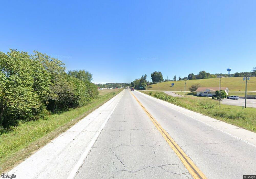
Estimated Value: $339,000
3
Beds
--
Bath
1,512
Sq Ft
$224/Sq Ft
Est. Value
About This Home
This home is located at 9395 W State Highway 76, Ava, MO 65608 and is currently estimated at $339,000, approximately $224 per square foot. 9395 W State Highway 76 is a home with nearby schools including Plainview Elementary School.
Ownership History
Date
Name
Owned For
Owner Type
Purchase Details
Closed on
Feb 3, 2023
Sold by
Johnson Gary W and Johnson Sherry N
Bought by
Johnson William C and Johnson Debra G
Current Estimated Value
Purchase Details
Closed on
Sep 3, 2021
Sold by
Johnson Gary W and Johnson Sherry N
Bought by
Johnson Gary W and Johnson Sherry N
Purchase Details
Closed on
Nov 24, 2020
Sold by
Stovall Jonathan and Stovall Stephanie
Bought by
Lawson Jeremy and Lawson Amy
Purchase Details
Closed on
Sep 28, 2012
Sold by
Whitaker Debra Kay and Whitaker Roy Carl
Bought by
Whitaker Debra Kay and Nelson Homestead Trust
Purchase Details
Closed on
Aug 23, 2005
Sold by
Sharp Diana K
Bought by
Ava R 1 School District
Create a Home Valuation Report for This Property
The Home Valuation Report is an in-depth analysis detailing your home's value as well as a comparison with similar homes in the area
Home Values in the Area
Average Home Value in this Area
Purchase History
| Date | Buyer | Sale Price | Title Company |
|---|---|---|---|
| Johnson William C | -- | -- | |
| Johnson Gary W | -- | None Listed On Document | |
| Lawson Jeremy | -- | None Available | |
| Whitaker Debra Kay | -- | None Available | |
| Ava R 1 School District | -- | None Available |
Source: Public Records
Tax History Compared to Growth
Tax History
| Year | Tax Paid | Tax Assessment Tax Assessment Total Assessment is a certain percentage of the fair market value that is determined by local assessors to be the total taxable value of land and additions on the property. | Land | Improvement |
|---|---|---|---|---|
| 2025 | $1,012 | $32,100 | $2,540 | $29,560 |
| 2024 | $1,012 | $29,270 | $2,160 | $27,110 |
| 2023 | $1,009 | $29,270 | $2,160 | $27,110 |
| 2022 | $925 | $26,920 | $2,280 | $24,640 |
| 2021 | $867 | $26,920 | $2,280 | $24,640 |
| 2020 | $867 | $24,450 | $2,280 | $22,170 |
| 2019 | $865 | $24,450 | $2,280 | $22,170 |
| 2018 | $859 | $24,470 | $2,300 | $22,170 |
| 2017 | $852 | $24,470 | $2,300 | $22,170 |
| 2016 | $839 | $21,950 | $1,250 | $20,700 |
| 2012 | -- | $21,940 | $0 | $0 |
Source: Public Records
Map
Nearby Homes
- 000 State Highway Dd
- 3176 State Highway Dd
- 6312 County Road W76-436
- 0 County Road 422
- 6179 County Road Kk-420
- 000 County Road 422
- RR 1 Box 438K County Rd O-532
- County Rd O-532
- 1899 State Hwy Dd
- 3191 State Highway Dd Private Rd B Unit Tract 3
- 69 Hcr Box 67
- 000 County Rd O-532 Unit 13
- 7789 E Co Rd Unit T-561
- 7789 W Co Rd Unit T-561
- 17665 State Highway 76
- 10623 State Highway O
- 6548 Co Unit 529
- 000 State Highway O
- 11138 State Highway O
- 242 Blue Jay Dr
- 101 State Highway 76
- 21864 County Road East 76-114
- 9165 W State Highway 76
- 5908 State Highway Aj
- 5990 State Highway Aj
- 5977 State Highway Aj
- 5998 W State Highway 76-Pvt
- 8744 W State Highway 76
- 200 A Route 3
- 8742 W State Highway 76
- 5665 State Highway Dd
- 8460 W State Highway 76
- 6521 State Highway Aj
- 5784 County Road W76-428
- 6259 County Rd W 76-430
