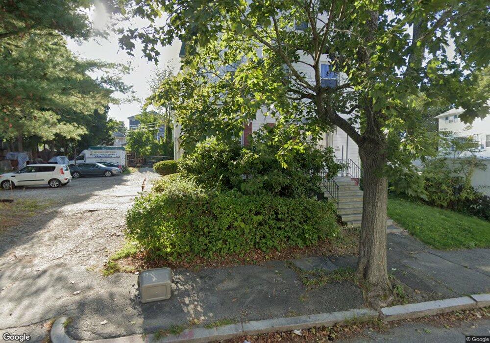
94 Arthur St Worcester, MA 01604
Union HIll NeighborhoodEstimated Value: $422,504 - $570,000
6
Beds
2
Baths
2,632
Sq Ft
$193/Sq Ft
Est. Value
About This Home
This home is located at 94 Arthur St, Worcester, MA 01604 and is currently estimated at $508,626, approximately $193 per square foot. 94 Arthur St is a home located in Worcester County with nearby schools including Jacob Hiatt Magnet School, Chandler Magnet, and Union Hill School.
Ownership History
Date
Name
Owned For
Owner Type
Purchase Details
Closed on
Aug 5, 2025
Sold by
94 Arthur Street Rt and Monteiro
Bought by
Jf Arthur Street Llc
Current Estimated Value
Purchase Details
Closed on
Dec 14, 2022
Sold by
Monteiro Laura C
Bought by
94 Arthur Street Rt and Monteiro
Purchase Details
Closed on
Jul 16, 2010
Sold by
Lazaro Mary A and Lazaro Richard J
Bought by
Monteiro Laura C
Home Financials for this Owner
Home Financials are based on the most recent Mortgage that was taken out on this home.
Original Mortgage
$95,500
Interest Rate
4.82%
Mortgage Type
Purchase Money Mortgage
Create a Home Valuation Report for This Property
The Home Valuation Report is an in-depth analysis detailing your home's value as well as a comparison with similar homes in the area
Home Values in the Area
Average Home Value in this Area
Purchase History
| Date | Buyer | Sale Price | Title Company |
|---|---|---|---|
| Jf Arthur Street Llc | -- | -- | |
| Jf Arthur Street Llc | -- | -- | |
| 94 Arthur Street Rt | -- | None Available | |
| 94 Arthur Street Rt | -- | None Available | |
| Monteiro Laura C | $127,500 | -- | |
| Monteiro Laura C | $127,500 | -- |
Source: Public Records
Mortgage History
| Date | Status | Borrower | Loan Amount |
|---|---|---|---|
| Previous Owner | Monteiro Laura C | $95,500 |
Source: Public Records
Tax History
| Year | Tax Paid | Tax Assessment Tax Assessment Total Assessment is a certain percentage of the fair market value that is determined by local assessors to be the total taxable value of land and additions on the property. | Land | Improvement |
|---|---|---|---|---|
| 2025 | $5,082 | $385,300 | $98,600 | $286,700 |
| 2024 | $4,866 | $353,900 | $98,600 | $255,300 |
| 2023 | $4,543 | $316,800 | $85,800 | $231,000 |
| 2022 | $4,166 | $273,900 | $68,600 | $205,300 |
| 2021 | $3,792 | $232,900 | $54,900 | $178,000 |
| 2020 | $3,575 | $210,300 | $54,500 | $155,800 |
| 2019 | $3,557 | $197,600 | $47,700 | $149,900 |
| 2018 | $3,496 | $184,900 | $47,700 | $137,200 |
| 2017 | $3,346 | $174,100 | $47,700 | $126,400 |
| 2016 | $3,267 | $158,500 | $34,200 | $124,300 |
| 2015 | $3,181 | $158,500 | $34,200 | $124,300 |
| 2014 | $3,097 | $158,500 | $34,200 | $124,300 |
Source: Public Records
Map
Nearby Homes
- 86 Arthur St
- 102 Arthur St
- 87 Houghton St
- 89 Houghton St
- 85 Houghton St
- 91 Houghton St
- 93 Arthur St
- 93 Arthur St Unit 2
- 93 Arthur St Unit 1
- 93 Arthur St Unit 3
- 97 Arthur St
- 89 Arthur St
- 101 Arthur St Unit 3
- 101 Arthur St Unit 2
- 101 Arthur St Unit 1
- 101 Arthur St
- 83 Houghton St
- 93 Houghton St
- 87 Arthur St
- 105 Arthur St
Your Personal Tour Guide
Ask me questions while you tour the home.