94 Beloin Rd Camden, ME 04843
Estimated Value: $1,133,000 - $1,865,521
3
Beds
3
Baths
2,419
Sq Ft
$667/Sq Ft
Est. Value
About This Home
This home is located at 94 Beloin Rd, Camden, ME 04843 and is currently estimated at $1,613,840, approximately $667 per square foot. 94 Beloin Rd is a home located in Knox County with nearby schools including Camden-Rockport Elementary School, Camden-Rockport Middle School, and Camden Hills Regional High School.
Ownership History
Date
Name
Owned For
Owner Type
Purchase Details
Closed on
Mar 29, 2017
Sold by
Jones Patricia K
Bought by
Rendle A & P K Jones Rt
Current Estimated Value
Purchase Details
Closed on
Sep 26, 2005
Sold by
Rendle & Patrick Jones Ret
Bought by
Jones Patricia K
Create a Home Valuation Report for This Property
The Home Valuation Report is an in-depth analysis detailing your home's value as well as a comparison with similar homes in the area
Home Values in the Area
Average Home Value in this Area
Purchase History
| Date | Buyer | Sale Price | Title Company |
|---|---|---|---|
| Rendle A & P K Jones Rt | -- | -- | |
| Jones Patricia K | -- | -- |
Source: Public Records
Tax History Compared to Growth
Tax History
| Year | Tax Paid | Tax Assessment Tax Assessment Total Assessment is a certain percentage of the fair market value that is determined by local assessors to be the total taxable value of land and additions on the property. | Land | Improvement |
|---|---|---|---|---|
| 2024 | $18,917 | $1,801,600 | $1,188,900 | $612,700 |
| 2023 | $16,065 | $1,164,100 | $658,600 | $505,500 |
| 2022 | $17,105 | $1,295,800 | $790,300 | $505,500 |
| 2021 | $15,648 | $1,019,400 | $677,900 | $341,500 |
| 2020 | $15,322 | $1,019,400 | $677,900 | $341,500 |
| 2019 | $15,199 | $1,019,400 | $677,900 | $341,500 |
| 2018 | $17,591 | $1,182,200 | $839,500 | $342,700 |
| 2017 | $17,000 | $1,182,200 | $839,500 | $342,700 |
| 2016 | $16,935 | $1,086,300 | $787,700 | $298,600 |
| 2015 | $16,436 | $1,086,300 | $787,700 | $298,600 |
| 2014 | $15,537 | $1,076,700 | $787,700 | $289,000 |
| 2013 | $15,117 | $1,076,700 | $787,700 | $289,000 |
Source: Public Records
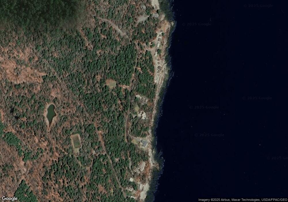
Map
Nearby Homes
- 190 Belfast Rd
- 24 Timbercliffe Dr
- 59 High St
- 122,6-1 Timbercliffe Dr
- 122,7-1 Timbercliffe Dr
- 00 Mountain Arrow Dr Unit LOT B
- 27 High St
- 9 Harden Ave
- 6 Bay Rd
- 440 Belfast Rd Unit Inio E1
- 440 Belfast Rd Unit Inio E2
- 440 Belfast Rd Unit Naan.D1
- 440 Belfast Rd Unit Naan.C1
- 440 Belfast Rd Unit Naan.C2
- 86 Chestnut St
- 12 Free St
- 56 Elm St
- 99 Chestnut St
- 5 Cedar St
- 110 Mountain St
- 100 Beloin Rd
- 110 Beloin Rd
- 119 Eastway Dr
- 0 Eds Rd Unit 1323432
- 0 Ed's Rd Unit 368547
- 0 Ed's Rd Unit 1505026
- 111 Eastway Dr
- 74 Beloin Rd
- 107 Eastway Dr
- 105 Eastway Dr
- 84 Shermans Point Rd
- 32 Shermans Point Rd
- 100 Shermans Point Rd
- 10 Shermans Point Rd
- 2 Shermans Point Rd
- 4 Shermans Point Rd
- 201 Belfast Rd
- 0 Sherman's Point Rd
- 0 Sherman Point Rd
- 3220 Belfast Rd