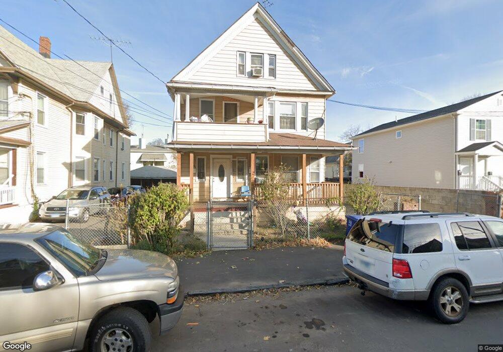
94 Center St Bridgeport, CT 06604
The Hollow NeighborhoodEstimated Value: $320,000 - $607,000
6
Beds
3
Baths
3,253
Sq Ft
$142/Sq Ft
Est. Value
About This Home
This home is located at 94 Center St, Bridgeport, CT 06604 and is currently estimated at $461,695, approximately $141 per square foot. 94 Center St is a home located in Fairfield County with nearby schools including Bassick High School, Catholic Academy of Bridgeport-St. Raphael Academy, and Catholic Academy of Bridgeport-St. Augustine Academy.
Ownership History
Date
Name
Owned For
Owner Type
Purchase Details
Closed on
Jul 30, 1997
Sold by
Citicorp Mortgage Inc
Bought by
Ambroise Lionel
Current Estimated Value
Purchase Details
Closed on
Dec 7, 1988
Sold by
Rodriguez Jack
Bought by
Bpt Bldrs Inc
Purchase Details
Closed on
Dec 15, 1987
Sold by
Phidd Olga
Bought by
St Jacques Denis
Home Financials for this Owner
Home Financials are based on the most recent Mortgage that was taken out on this home.
Original Mortgage
$160,200
Interest Rate
10.96%
Mortgage Type
Purchase Money Mortgage
Create a Home Valuation Report for This Property
The Home Valuation Report is an in-depth analysis detailing your home's value as well as a comparison with similar homes in the area
Home Values in the Area
Average Home Value in this Area
Purchase History
| Date | Buyer | Sale Price | Title Company |
|---|---|---|---|
| Ambroise Lionel | $38,000 | -- | |
| Ambroise Lionel | $38,000 | -- | |
| Bpt Bldrs Inc | $60,000 | -- | |
| St Jacques Denis | $17,800 | -- |
Source: Public Records
Mortgage History
| Date | Status | Borrower | Loan Amount |
|---|---|---|---|
| Previous Owner | St Jacques Denis | $160,200 |
Source: Public Records
Tax History Compared to Growth
Tax History
| Year | Tax Paid | Tax Assessment Tax Assessment Total Assessment is a certain percentage of the fair market value that is determined by local assessors to be the total taxable value of land and additions on the property. | Land | Improvement |
|---|---|---|---|---|
| 2025 | $7,543 | $173,600 | $41,910 | $131,690 |
| 2024 | $7,543 | $173,600 | $41,910 | $131,690 |
| 2023 | $7,543 | $173,600 | $41,910 | $131,690 |
| 2022 | $7,543 | $173,600 | $41,910 | $131,690 |
| 2021 | $7,543 | $173,600 | $41,910 | $131,690 |
| 2020 | $6,849 | $126,860 | $18,650 | $108,210 |
| 2019 | $7,246 | $134,210 | $18,650 | $115,560 |
| 2018 | $7,297 | $134,210 | $18,650 | $115,560 |
| 2017 | $7,297 | $134,210 | $18,650 | $115,560 |
| 2016 | $7,297 | $134,210 | $18,650 | $115,560 |
| 2015 | $7,687 | $182,160 | $28,810 | $153,350 |
| 2014 | $7,687 | $182,160 | $28,810 | $153,350 |
Source: Public Records
Map
Nearby Homes
- 139 Highland Ave Unit 143
- 75 Sanford Ave
- 183 Calhoun Ave
- 318 Center St
- 120 Milne St Unit 122
- 113 Milne St Unit 115
- 191 Oak St
- 309 Pequonnock St
- 200 Harral Ave
- 213 Harral Ave Unit 215
- 79 William St
- 78 Fairmount Ave
- 90 Tom Thumb St
- 289 Harriet St
- 100 Lorraine St
- 76 Porter St
- 485 Noble Ave
- 1373 Iranistan Ave
- 5 William Place
- 31 Taft Ave
- 104 Center St Unit 106
- 84 Center St
- 110 Center St Unit 112
- 70 Center St Unit 2L
- 70 Center St Unit 72
- 70 Center St Unit 2ND F
- 70 Center St Unit 1R
- 70 Center St Unit 2 Floor
- 95 Center St Unit 97
- 95 Center St Unit 1
- 95 Center St Unit 2nd
- 95 Center St Unit 1st
- 95 Center St Unit 3
- 62 Center St
- 135 Catherine St Unit 137
- 113 Center St Unit 115
- 60 Center St
- 79 Center St Unit 81
- 87 Center St Unit 89
- 143 Catherine St Unit 147