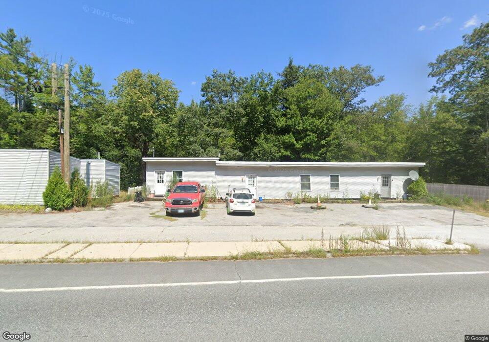
94 Colburn Farm Rd Newbury, NH 03255
Estimated Value: $597,035 - $665,000
3
Beds
3
Baths
3,057
Sq Ft
$205/Sq Ft
Est. Value
About This Home
This home is located at 94 Colburn Farm Rd, Newbury, NH 03255 and is currently estimated at $627,759, approximately $205 per square foot. 94 Colburn Farm Rd is a home located in Merrimack County with nearby schools including Kearsarge Regional Elementary School at Bradford, Kearsarge Regional Middle School, and Kearsarge Regional High School.
Ownership History
Date
Name
Owned For
Owner Type
Purchase Details
Closed on
Jun 18, 2002
Sold by
Laclair Raymond E
Bought by
Whitford Wayne R and Whitford Bonnie M
Current Estimated Value
Home Financials for this Owner
Home Financials are based on the most recent Mortgage that was taken out on this home.
Original Mortgage
$145,000
Outstanding Balance
$61,266
Interest Rate
6.8%
Estimated Equity
$566,493
Create a Home Valuation Report for This Property
The Home Valuation Report is an in-depth analysis detailing your home's value as well as a comparison with similar homes in the area
Home Values in the Area
Average Home Value in this Area
Purchase History
| Date | Buyer | Sale Price | Title Company |
|---|---|---|---|
| Whitford Wayne R | $195,000 | -- |
Source: Public Records
Mortgage History
| Date | Status | Borrower | Loan Amount |
|---|---|---|---|
| Open | Whitford Wayne R | $145,000 |
Source: Public Records
Tax History Compared to Growth
Tax History
| Year | Tax Paid | Tax Assessment Tax Assessment Total Assessment is a certain percentage of the fair market value that is determined by local assessors to be the total taxable value of land and additions on the property. | Land | Improvement |
|---|---|---|---|---|
| 2024 | $4,990 | $382,400 | $70,200 | $312,200 |
| 2023 | $4,990 | $382,400 | $70,200 | $312,200 |
| 2022 | $4,352 | $382,400 | $70,200 | $312,200 |
| 2021 | $4,352 | $382,400 | $70,200 | $312,200 |
| 2020 | $4,497 | $272,200 | $55,800 | $216,400 |
| 2019 | $4,323 | $272,200 | $55,800 | $216,400 |
| 2018 | $4,219 | $272,200 | $55,800 | $216,400 |
| 2017 | $4,276 | $272,200 | $55,800 | $216,400 |
| 2016 | $3,605 | $224,600 | $55,800 | $168,800 |
| 2015 | $3,136 | $192,600 | $55,800 | $136,800 |
| 2014 | $2,983 | $192,600 | $55,800 | $136,800 |
| 2013 | $2,876 | $192,600 | $55,800 | $136,800 |
Source: Public Records
Map
Nearby Homes
- 263 Old Post Rd
- 61 Brookside Rd
- 00 Brookside Rd Unit 530-317&525-332
- 318 Old Post Rd
- 0 Crest Dr Unit 4996159
- 36 Shore Dr
- 306 Mountain Rd
- 420 Sutton Rd
- 200 South Rd
- 108 Circle View Dr
- 6 Chapin Way Unit 6
- 12 Chapin Way Unit Lot 12
- 214 Winding Brook Rd
- 0 Lakewood Manor Rd Unit 467
- 81 Gerald Dr
- 81 Lakewood Manor Rd
- 25 Hilltop Dr
- 344 Chalk Pond Rd
- Lower Crest Rd
- 20 Edgemont Landing Rd
- 0 Colburn Farm Rd
- 102 Colburn Farm Rd
- 53 Deer Run Rd
- 683 Route 103
- 108 Colburn Farm Rd
- 68 Colburn Farm Rd
- 114 Colburn Farm Rd
- 725 Route 103
- 1349 Gen John Stark (Rt 103)
- 223 Old Post Rd
- 229 Old Post Rd
- 694 Route 103
- 126 Colburn Farm Rd
- lot #3 Old Post Rd
- 251 Old Post Rd
- 134 Colburn Farm Rd
- 244 Old Post Rd
- 20 New Hampshire Route 103
- 00 Old Post Rd
- 267 Old Post Rd