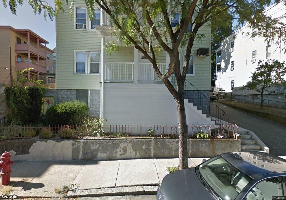
94 Heath St Somerville, MA 02145
Ten Hills NeighborhoodEstimated Value: $1,521,000 - $2,004,896
9
Beds
3
Baths
4,572
Sq Ft
$398/Sq Ft
Est. Value
About This Home
This home is located at 94 Heath St, Somerville, MA 02145 and is currently estimated at $1,818,224, approximately $397 per square foot. 94 Heath St is a home located in Middlesex County with nearby schools including Somerville High School and Bright Future Educare Center.
Ownership History
Date
Name
Owned For
Owner Type
Purchase Details
Closed on
Apr 18, 2025
Sold by
Lewis David B
Bought by
Nurpeisova Jansulu A
Current Estimated Value
Purchase Details
Closed on
Feb 27, 2017
Sold by
Iacobacci Edward and Iacobacci Louise
Bought by
Lewis David B and Nurpeisova Jansulu A
Home Financials for this Owner
Home Financials are based on the most recent Mortgage that was taken out on this home.
Original Mortgage
$920,000
Interest Rate
4.12%
Mortgage Type
Purchase Money Mortgage
Create a Home Valuation Report for This Property
The Home Valuation Report is an in-depth analysis detailing your home's value as well as a comparison with similar homes in the area
Home Values in the Area
Average Home Value in this Area
Purchase History
| Date | Buyer | Sale Price | Title Company |
|---|---|---|---|
| Nurpeisova Jansulu A | -- | None Available | |
| Lewis David B | $1,150,000 | -- | |
| Lewis David B | $1,150,000 | -- |
Source: Public Records
Mortgage History
| Date | Status | Borrower | Loan Amount |
|---|---|---|---|
| Previous Owner | Lewis David B | $920,000 |
Source: Public Records
Tax History
| Year | Tax Paid | Tax Assessment Tax Assessment Total Assessment is a certain percentage of the fair market value that is determined by local assessors to be the total taxable value of land and additions on the property. | Land | Improvement |
|---|---|---|---|---|
| 2025 | $17,392 | $1,594,100 | $305,000 | $1,289,100 |
| 2024 | $16,178 | $1,537,800 | $305,000 | $1,232,800 |
| 2023 | $15,755 | $1,523,700 | $305,000 | $1,218,700 |
| 2022 | $15,124 | $1,485,700 | $290,500 | $1,195,200 |
| 2021 | $14,438 | $1,416,900 | $263,900 | $1,153,000 |
| 2020 | $14,194 | $1,406,700 | $253,700 | $1,153,000 |
| 2019 | $13,189 | $1,225,700 | $213,500 | $1,012,200 |
| 2018 | $10,618 | $938,800 | $194,100 | $744,700 |
| 2017 | $8,271 | $708,700 | $183,200 | $525,500 |
| 2016 | $7,569 | $604,100 | $148,700 | $455,400 |
| 2015 | $7,168 | $568,400 | $147,900 | $420,500 |
Source: Public Records
Map
Nearby Homes
- 19 Fenwick St Unit 4
- 29 Main St Unit 1
- 115 Thurston St Unit I
- 25 Browning Rd
- 178 Central St
- 79 Moreland St
- 35 Henry St
- 77 Fremont St Unit 1
- 13 Leyden St
- 60 Derby St Unit 2
- 658 Mystic Ave Unit B
- 658 Mystic Ave Unit A
- 656 Mystic Ave Unit B
- 9 Norwood Ave
- 474 Broadway Unit 26
- 496 Medford St
- 66 Grant St Unit 1
- 185 School St
- 552 Main St
- 15 Stickney Ave Unit A
- 94 Heath St Unit 1
- 94 Heath St
- 94 Heath St Unit 3
- 94 Heath St Unit 2
- 96 Heath St
- 96 Heath St
- 96 Heath St Unit 1
- 96 Heath St Unit 3
- 22 Bond St
- 18 Bond St
- 18 Bond St
- 18 Bond St Unit 3
- 18 Bond St Unit 2
- 18 Bond St Unit 1
- 89 Heath St
- 91 Heath St
- 91 Heath St Unit 1
- 14 Douglas Ave
- 98 Heath St
- 98 Heath St Unit 3
Your Personal Tour Guide
Ask me questions while you tour the home.