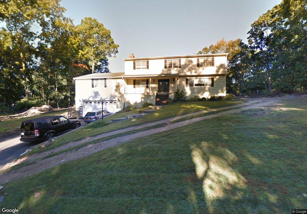
94 Law Rd Briarcliff Manor, NY 10510
Estimated Value: $1,630,347 - $1,690,000
4
Beds
3
Baths
3,336
Sq Ft
$499/Sq Ft
Est. Value
About This Home
This home is located at 94 Law Rd, Briarcliff Manor, NY 10510 and is currently estimated at $1,665,337, approximately $499 per square foot. 94 Law Rd is a home located in Westchester County with nearby schools including Todd Elementary School, Briarcliff Middle School, and Briarcliff High School.
Ownership History
Date
Name
Owned For
Owner Type
Purchase Details
Closed on
Mar 6, 2013
Sold by
Didomenico Tommaso and Didomenico Mary
Bought by
Prospero Daniele and Prospero Maria C
Current Estimated Value
Home Financials for this Owner
Home Financials are based on the most recent Mortgage that was taken out on this home.
Original Mortgage
$562,000
Outstanding Balance
$396,948
Interest Rate
3.56%
Mortgage Type
New Conventional
Estimated Equity
$1,268,389
Create a Home Valuation Report for This Property
The Home Valuation Report is an in-depth analysis detailing your home's value as well as a comparison with similar homes in the area
Home Values in the Area
Average Home Value in this Area
Purchase History
| Date | Buyer | Sale Price | Title Company |
|---|---|---|---|
| Prospero Daniele | $865,000 | The Judicial Title Insurance |
Source: Public Records
Mortgage History
| Date | Status | Borrower | Loan Amount |
|---|---|---|---|
| Open | Prospero Daniele | $562,000 |
Source: Public Records
Tax History Compared to Growth
Tax History
| Year | Tax Paid | Tax Assessment Tax Assessment Total Assessment is a certain percentage of the fair market value that is determined by local assessors to be the total taxable value of land and additions on the property. | Land | Improvement |
|---|---|---|---|---|
| 2024 | $34,633 | $1,270,200 | $435,600 | $834,600 |
| 2023 | $33,661 | $1,179,500 | $435,600 | $743,900 |
| 2022 | $32,699 | $1,098,800 | $435,600 | $663,200 |
| 2021 | $31,699 | $1,008,100 | $435,600 | $572,500 |
| 2020 | $32,283 | $1,008,100 | $435,600 | $572,500 |
| 2019 | $32,653 | $1,020,400 | $501,100 | $519,300 |
| 2018 | $37,372 | $1,020,400 | $501,100 | $519,300 |
| 2017 | $4,922 | $1,000,800 | $501,100 | $499,700 |
| 2016 | $395,514 | $981,200 | $501,100 | $480,100 |
| 2015 | $20,150 | $46,200 | $13,800 | $32,400 |
| 2014 | $20,150 | $46,200 | $13,800 | $32,400 |
| 2013 | $20,150 | $46,200 | $13,800 | $32,400 |
Source: Public Records
Map
Nearby Homes
- 24 Sleepy Hollow Rd
- 70 Briarbrook Dr
- 10 Briarbrook Dr
- 3 Holbrook Rd
- 39 Admiral Wordens Ln
- 36 Revolutionary Rd
- 155 Revolutionary Rd
- 417 Long Hill Rd E
- 147 Charter Cir Unit 147
- 97 Charter Cir Unit 97
- 134 Dalmeny Rd
- 409 Central Dr
- 84 Charter Cir Unit 84
- 10 Shadow Tree Ln
- 129 S Highland Ave Unit C-2
- 129 S Highland Ave Unit B6
- 127 S Highland Ave Unit A4
- 123 S Highland Ave Unit B3
- 125 S Highland Ave Unit 4B
- 608 Kemeys Cove Unit 6-08