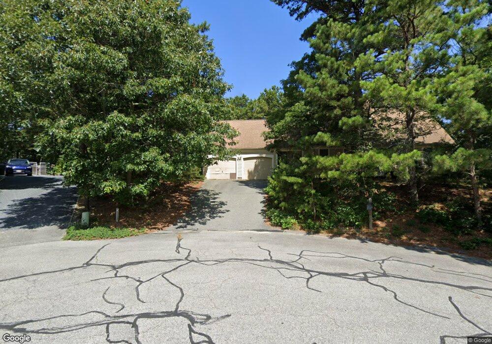
94 Oak Ln Unit 1000 Brewster, MA 02631
Estimated Value: $650,000 - $719,527
3
Beds
2
Baths
1,632
Sq Ft
$423/Sq Ft
Est. Value
About This Home
This home is located at 94 Oak Ln Unit 1000, Brewster, MA 02631 and is currently estimated at $690,882, approximately $423 per square foot. 94 Oak Ln Unit 1000 is a home located in Barnstable County with nearby schools including Stony Brook Elementary School, Eddy Elementary School, and Nauset Regional Middle School.
Ownership History
Date
Name
Owned For
Owner Type
Purchase Details
Closed on
Aug 17, 2021
Sold by
Dubay Michael M Est and Beauchemin
Bought by
Arthur Tara
Current Estimated Value
Home Financials for this Owner
Home Financials are based on the most recent Mortgage that was taken out on this home.
Original Mortgage
$479,751
Outstanding Balance
$435,300
Interest Rate
2.9%
Mortgage Type
FHA
Estimated Equity
$255,582
Purchase Details
Closed on
Jan 6, 1984
Bought by
Dubay Michael M
Create a Home Valuation Report for This Property
The Home Valuation Report is an in-depth analysis detailing your home's value as well as a comparison with similar homes in the area
Home Values in the Area
Average Home Value in this Area
Purchase History
| Date | Buyer | Sale Price | Title Company |
|---|---|---|---|
| Arthur Tara | $556,000 | None Available | |
| Dubay Michael M | $67,500 | -- |
Source: Public Records
Mortgage History
| Date | Status | Borrower | Loan Amount |
|---|---|---|---|
| Open | Arthur Tara | $479,751 |
Source: Public Records
Tax History
| Year | Tax Paid | Tax Assessment Tax Assessment Total Assessment is a certain percentage of the fair market value that is determined by local assessors to be the total taxable value of land and additions on the property. | Land | Improvement |
|---|---|---|---|---|
| 2025 | $4,380 | $636,600 | $249,000 | $387,600 |
| 2024 | $4,093 | $601,100 | $234,900 | $366,200 |
| 2023 | $3,789 | $542,000 | $209,700 | $332,300 |
| 2022 | $3,586 | $456,800 | $174,700 | $282,100 |
| 2021 | $3,452 | $402,300 | $151,900 | $250,400 |
| 2020 | $3,368 | $390,700 | $151,900 | $238,800 |
| 2019 | $3,257 | $379,600 | $146,100 | $233,500 |
| 2018 | $3,066 | $371,200 | $146,100 | $225,100 |
| 2017 | $2,968 | $353,700 | $146,100 | $207,600 |
| 2016 | $2,925 | $347,000 | $143,200 | $203,800 |
| 2015 | $2,826 | $342,100 | $140,400 | $201,700 |
Source: Public Records
Map
Nearby Homes
- 62 Maple Ln
- 67 Bakers Pond Rd
- 42 Partridge Cir
- 31 Chase Ln
- 0 Partridge
- 261 Linnell Landing Rd Unit 2
- 190 Rt 6a Unit 9B
- 18 West Rd Unit 307
- 18 West Rd Unit 202
- 12 Phoebes Close
- 398 Lund Farm Way
- 410 Blueberry Pond Dr
- 54 Old Colony Way Unit G
- 54 Old Colony Way Unit G
- 0 Commons Way Unit 22504099
- 16 Commons Way
- 17 Kings Way
- 332 S Orleans Rd
- 42 Old Colony Way Unit 15
- 42 Old Colony Way Unit 29
Your Personal Tour Guide
Ask me questions while you tour the home.