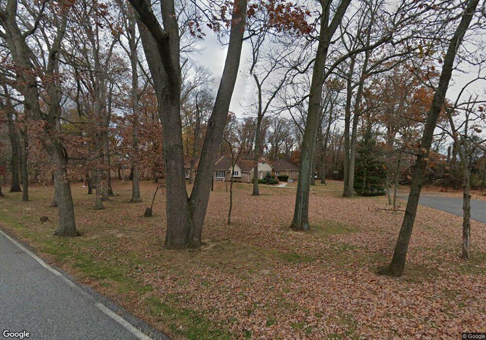
94 Pancoast Rd Swedesboro, NJ 08085
Woolwich Township NeighborhoodEstimated Value: $631,000 - $701,000
--
Bed
--
Bath
3,080
Sq Ft
$215/Sq Ft
Est. Value
About This Home
This home is located at 94 Pancoast Rd, Swedesboro, NJ 08085 and is currently estimated at $662,198, approximately $214 per square foot. 94 Pancoast Rd is a home located in Gloucester County with nearby schools including Margaret C Clifford School, Gov. Charles C. Stratton School, and Gen. Charles G. Harker School.
Ownership History
Date
Name
Owned For
Owner Type
Purchase Details
Closed on
Aug 11, 2022
Sold by
Sbf-1 Properties Llc
Bought by
Scioto Properties Sp-16 Llc
Current Estimated Value
Purchase Details
Closed on
Dec 29, 2009
Sold by
Bohemia Development Company
Bought by
Gi Advo Propco Llc
Create a Home Valuation Report for This Property
The Home Valuation Report is an in-depth analysis detailing your home's value as well as a comparison with similar homes in the area
Home Values in the Area
Average Home Value in this Area
Purchase History
| Date | Buyer | Sale Price | Title Company |
|---|---|---|---|
| Scioto Properties Sp-16 Llc | -- | First National Title | |
| Scioto Properties Sp-16 Llc | -- | First National Title | |
| Gi Advo Propco Llc | $537,000 | Commonwealth-Lawyers Title |
Source: Public Records
Tax History Compared to Growth
Tax History
| Year | Tax Paid | Tax Assessment Tax Assessment Total Assessment is a certain percentage of the fair market value that is determined by local assessors to be the total taxable value of land and additions on the property. | Land | Improvement |
|---|---|---|---|---|
| 2025 | $13,053 | $388,700 | $64,800 | $323,900 |
| 2024 | $12,823 | $388,700 | $64,800 | $323,900 |
| 2023 | $12,823 | $388,700 | $64,800 | $323,900 |
| 2022 | $13,088 | $388,700 | $64,800 | $323,900 |
| 2021 | $13,356 | $388,700 | $64,800 | $323,900 |
| 2020 | $13,336 | $388,700 | $64,800 | $323,900 |
| 2019 | $13,022 | $346,700 | $58,800 | $287,900 |
| 2018 | $12,970 | $346,700 | $58,800 | $287,900 |
| 2017 | $12,717 | $346,700 | $58,800 | $287,900 |
| 2016 | $12,621 | $347,500 | $59,600 | $287,900 |
| 2015 | $12,333 | $347,500 | $59,600 | $287,900 |
| 2014 | $11,718 | $347,500 | $59,600 | $287,900 |
Source: Public Records
Map
Nearby Homes
- 846 Cymbeline Ct
- 50 Curtmantle Rd
- 163 Erica Ct
- 155 Erica Ct
- 176 Patricia Dr
- 112 Jules Dr
- 48 Garwin Rd
- 218 Dominics Ct
- 228 Tomlin Station Rd
- 26 Garwin Rd
- 67 E Rattling Run Rd
- 50 Mill Rd
- 0 Paulsboro Rd Unit NJGL2065726
- 233 Franklinville Rd
- 185 Woodland Ave
- 19 Valley Ln
- 71 W Tomlin Station Rd
- 490 Franklinville Rd
- 347 Paulsboro Rd
- 159 Mill Rd
- 89 Pancoast Rd
- 80 Pancoast Rd
- 97 Pancoast Rd
- 105 Pancoast Rd
- 68 Pancoast Rd
- 113 Pancoast Rd
- 119 Pancoast Rd
- 1169 Route 322
- 1163 Route 322
- 1171 Route 322
- 2227 Swedesboro Rd
- 1062 Route 322
- 194 Back Creek Rd
- 66 Kirschling Dr
- 830 Derius Dr
- 832 Derius Dr
- 834 Derius Dr
- 826 Derius Dr
- 836 Derius Dr
- 828 Derius Dr
