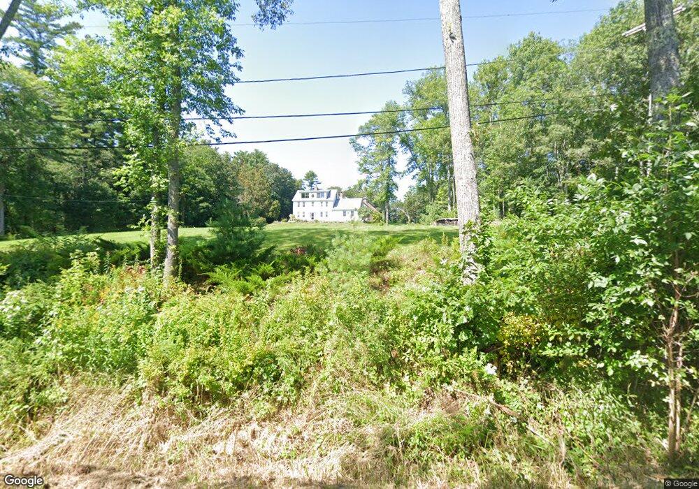
94 Pleasant Point Rd Topsham, ME 04086
Estimated Value: $777,000 - $1,186,159
5
Beds
2
Baths
5,000
Sq Ft
$187/Sq Ft
Est. Value
About This Home
This home is located at 94 Pleasant Point Rd, Topsham, ME 04086 and is currently estimated at $934,720, approximately $186 per square foot. 94 Pleasant Point Rd is a home located in Sagadahoc County with nearby schools including Mt Ararat High School.
Ownership History
Date
Name
Owned For
Owner Type
Purchase Details
Closed on
Mar 14, 2007
Sold by
Oliver Robert P
Bought by
Curnin Kevin J and Curnin Annemarie B
Current Estimated Value
Home Financials for this Owner
Home Financials are based on the most recent Mortgage that was taken out on this home.
Original Mortgage
$456,000
Outstanding Balance
$268,850
Interest Rate
5.88%
Mortgage Type
Unknown
Estimated Equity
$665,870
Create a Home Valuation Report for This Property
The Home Valuation Report is an in-depth analysis detailing your home's value as well as a comparison with similar homes in the area
Home Values in the Area
Average Home Value in this Area
Purchase History
| Date | Buyer | Sale Price | Title Company |
|---|---|---|---|
| Curnin Kevin J | -- | -- |
Source: Public Records
Mortgage History
| Date | Status | Borrower | Loan Amount |
|---|---|---|---|
| Open | Curnin Kevin J | $456,000 |
Source: Public Records
Tax History Compared to Growth
Tax History
| Year | Tax Paid | Tax Assessment Tax Assessment Total Assessment is a certain percentage of the fair market value that is determined by local assessors to be the total taxable value of land and additions on the property. | Land | Improvement |
|---|---|---|---|---|
| 2025 | $11,575 | $904,300 | $210,600 | $693,700 |
| 2024 | $11,161 | $892,900 | $199,200 | $693,700 |
| 2023 | $10,861 | $799,800 | $191,800 | $608,000 |
| 2022 | $10,966 | $760,500 | $186,800 | $573,700 |
| 2021 | $11,158 | $703,100 | $175,500 | $527,600 |
| 2020 | $11,514 | $644,696 | $195,896 | $448,800 |
| 2019 | $12,013 | $627,312 | $216,212 | $411,100 |
| 2018 | $11,501 | $614,060 | $199,560 | $414,500 |
| 2017 | $11,124 | $613,880 | $199,380 | $414,500 |
| 2016 | $2,718 | $617,088 | $199,188 | $417,900 |
| 2015 | $11,189 | $623,015 | $198,215 | $424,800 |
| 2014 | $10,978 | $633,459 | $198,359 | $435,100 |
| 2013 | $10,548 | $633,513 | $198,413 | $435,100 |
Source: Public Records
Map
Nearby Homes
- 31 Franklin Pkwy
- 53 Larry Ln
- 594 Middlesex Rd
- 573 Old Bath Rd
- 18 Peterson Ln
- 107 Stevenson Way
- 75 Adams Landing Rd
- Lot 08 Sara's Way
- 100 Varney Mill Rd
- 19 James St
- 15 Royal Oak Cir
- 282 Middlesex Rd
- 69 Long St
- 15 Pond Dr
- 34 Shea St
- 13 Young Ave
- 14 Loon Dr
- 108B New Meadows Rd
- 45 Harding Rd
- 106 Rita Way
- 108 Pleasant Point Rd
- 90 Pleasant Point Rd
- 110 Pleasant Point Rd
- 112 Pleasant Point Rd
- 82 Pleasant Point Rd
- 118 Pleasant Point Rd
- 121 Pleasant Point Rd
- 126 Pleasant Point Rd
- 125 Pleasant Point Rd
- 138 Pleasant Point Rd
- 129 Pleasant Point Rd
- 72 Pleasant Point Rd
- 131 Pleasant Point Rd
- 135 Pleasant Point Rd
- 139 Pleasant Point Rd
- 133 Pleasant Point Rd
- 149 Pleasant Point Rd
- 60 Pleasant Point Rd
- 158 Pleasant Point Rd
- 163 Pleasant Point Rd