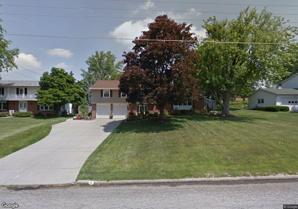
94 Sherbrook Rd Mansfield, OH 44907
Estimated Value: $271,558 - $292,000
4
Beds
3
Baths
2,344
Sq Ft
$121/Sq Ft
Est. Value
About This Home
This home is located at 94 Sherbrook Rd, Mansfield, OH 44907 and is currently estimated at $284,140, approximately $121 per square foot. 94 Sherbrook Rd is a home located in Richland County with nearby schools including Mansfield Christian School, Mansfield Seventh-day Adventist School, and St. Peter's Junior High / High School.
Ownership History
Date
Name
Owned For
Owner Type
Purchase Details
Closed on
Dec 21, 2018
Sold by
Fesler Thomas R
Bought by
Fesler Jill M
Current Estimated Value
Purchase Details
Closed on
Aug 29, 2003
Sold by
Leach Patrick D and Leach Susan K
Bought by
Fesler Thomas R and Fesler Jill M
Home Financials for this Owner
Home Financials are based on the most recent Mortgage that was taken out on this home.
Original Mortgage
$158,000
Outstanding Balance
$71,932
Interest Rate
5.97%
Mortgage Type
Purchase Money Mortgage
Estimated Equity
$212,208
Purchase Details
Closed on
Jun 1, 1985
Create a Home Valuation Report for This Property
The Home Valuation Report is an in-depth analysis detailing your home's value as well as a comparison with similar homes in the area
Home Values in the Area
Average Home Value in this Area
Purchase History
| Date | Buyer | Sale Price | Title Company |
|---|---|---|---|
| Fesler Jill M | -- | None Available | |
| Fesler Thomas R | $168,500 | -- | |
| -- | $41,300 | -- |
Source: Public Records
Mortgage History
| Date | Status | Borrower | Loan Amount |
|---|---|---|---|
| Open | Fesler Thomas R | $158,000 |
Source: Public Records
Tax History
| Year | Tax Paid | Tax Assessment Tax Assessment Total Assessment is a certain percentage of the fair market value that is determined by local assessors to be the total taxable value of land and additions on the property. | Land | Improvement |
|---|---|---|---|---|
| 2024 | $2,980 | $64,980 | $8,550 | $56,430 |
| 2023 | $3,045 | $64,980 | $8,550 | $56,430 |
| 2022 | $3,010 | $53,820 | $7,460 | $46,360 |
| 2021 | $3,031 | $53,820 | $7,460 | $46,360 |
| 2020 | $3,099 | $53,820 | $7,460 | $46,360 |
| 2019 | $2,932 | $45,930 | $6,320 | $39,610 |
| 2018 | $2,891 | $45,930 | $6,320 | $39,610 |
| 2017 | $2,814 | $45,930 | $6,320 | $39,610 |
| 2016 | $3,054 | $48,340 | $6,320 | $42,020 |
| 2015 | $3,054 | $48,340 | $6,320 | $42,020 |
| 2014 | $2,879 | $48,340 | $6,320 | $42,020 |
| 2012 | $2,194 | $48,340 | $6,320 | $42,020 |
Source: Public Records
Map
Nearby Homes
- 104 Elmridge Rd
- 1179 Burkwood Rd
- 33 Rambleside Dr
- 65 Logan Rd
- 0 Lexington Ave Unit 224009661
- 50 Lilac Ct E
- 400 James Ave
- 1599 S Main St
- 0 George Ave
- 489 Clifton Blvd
- 101 Chilton Ave
- 810 Lexington Ave
- 575 Crescent Rd
- 470 Lexington Ave
- 466 Lexington Ave
- 456 Lexington Ave
- 695 S Andover Rd
- 1521 Cape Cod Dr
- 1510 Cape Cod Dr Unit 1504
- 0 Woodville Rd Unit Lot 14952, 14953
Your Personal Tour Guide
Ask me questions while you tour the home.