94 Tower Rd Henniker, NH 03242
Estimated Value: $685,000 - $823,966
3
Beds
2
Baths
3,786
Sq Ft
$198/Sq Ft
Est. Value
About This Home
This home is located at 94 Tower Rd, Henniker, NH 03242 and is currently estimated at $748,992, approximately $197 per square foot. 94 Tower Rd is a home with nearby schools including Henniker Community School and John Stark Regional High School.
Ownership History
Date
Name
Owned For
Owner Type
Purchase Details
Closed on
Aug 6, 2014
Sold by
Veilleux Bruce R and Veilleux Amy R
Bought by
Veilleux Bruce R and Veilleux Amy R
Current Estimated Value
Home Financials for this Owner
Home Financials are based on the most recent Mortgage that was taken out on this home.
Original Mortgage
$137,162
Outstanding Balance
$104,703
Interest Rate
4.14%
Mortgage Type
New Conventional
Estimated Equity
$644,289
Create a Home Valuation Report for This Property
The Home Valuation Report is an in-depth analysis detailing your home's value as well as a comparison with similar homes in the area
Home Values in the Area
Average Home Value in this Area
Purchase History
| Date | Buyer | Sale Price | Title Company |
|---|---|---|---|
| Veilleux Bruce R | -- | -- |
Source: Public Records
Mortgage History
| Date | Status | Borrower | Loan Amount |
|---|---|---|---|
| Open | Veilleux Bruce R | $137,162 |
Source: Public Records
Tax History Compared to Growth
Tax History
| Year | Tax Paid | Tax Assessment Tax Assessment Total Assessment is a certain percentage of the fair market value that is determined by local assessors to be the total taxable value of land and additions on the property. | Land | Improvement |
|---|---|---|---|---|
| 2024 | $16,785 | $702,300 | $265,800 | $436,500 |
| 2023 | $15,717 | $702,300 | $265,800 | $436,500 |
| 2022 | $15,057 | $702,300 | $265,800 | $436,500 |
| 2021 | $13,861 | $425,705 | $124,105 | $301,600 |
| 2020 | $13,299 | $425,705 | $124,105 | $301,600 |
| 2019 | $12,645 | $357,800 | $132,100 | $225,700 |
| 2018 | $12,054 | $357,800 | $132,100 | $225,700 |
| 2017 | $12,144 | $357,800 | $132,100 | $225,700 |
| 2016 | $11,925 | $357,800 | $132,100 | $225,700 |
| 2015 | $11,260 | $357,800 | $132,100 | $225,700 |
| 2014 | $10,750 | $350,400 | $136,600 | $213,800 |
Source: Public Records
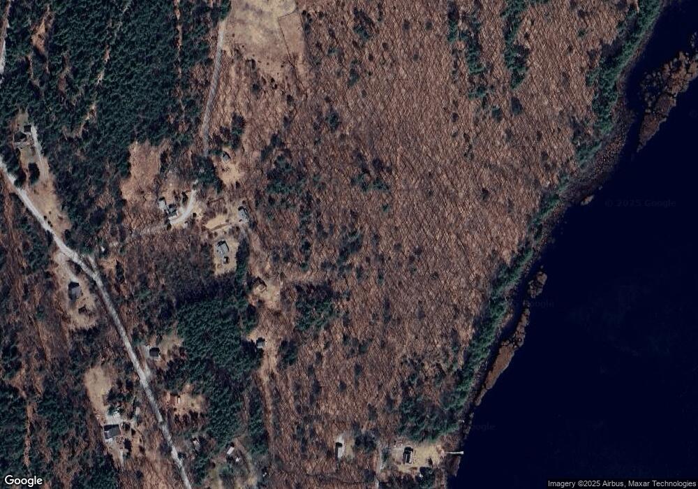
Map
Nearby Homes
- 586 C-4 Craney Hill Rd
- 11 White Birch Rd
- 463 Craney Hill Rd
- 302 Flanders Rd
- 540-X9-A Route 114
- 540-X9B Route 114
- 2 Hope Rd
- 7-351-B Patterson Hill Rd
- 173 Patterson Hill Rd
- 231 Patterson Hill Rd
- 0 Old Concord Rd Unit 551-A 5014211
- 149 Bear Hill Rd
- 388 Western Ave Unit E1
- 388 Western Ave Unit A5
- 101-125 Winslow Rd
- 62 Collins Landing Rd Unit 46
- 108 E Shore Dr
- 143 Tanglewood Dr
- 430 Highland Dr
- 85 Checkerberry Ln
- 134 Tower Rd
- 587 Craney Hill Rd
- 26 Tower Rd
- 49 Corbin Rd
- 538 Craney Hill Rd
- 34 Corbin Rd
- 36 Corbin Rd
- 685 Craney Hill Rd
- 32 Corbin Rd
- 650 Craney Hill Rd
- 492 Craney Hill Rd
- 1178 Craney Hill Rd
- 583 Craney Hill Rd
- 704 Craney Hill Rd
- 81 Old Hay Rd
- 773 Craney Hill Rd
- 799 Craney Hill Rd
- 809 Craney Hill Rd
- 5 Old Hay Rd
- 39 Craney Pond Rd