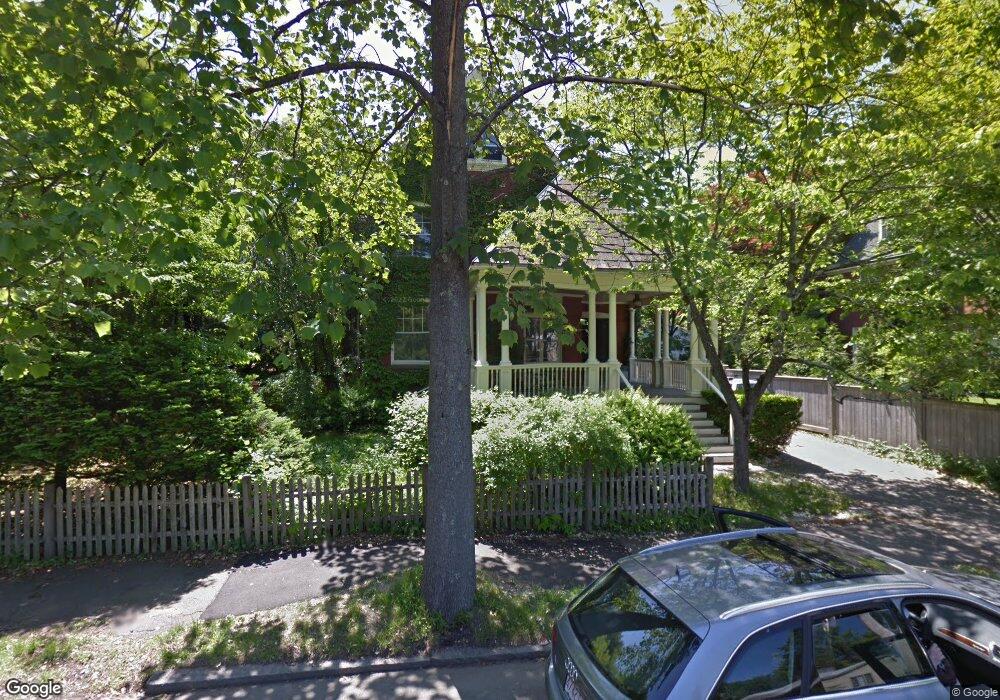
94 Upland Rd Brookline, MA 02445
Brookline Village NeighborhoodEstimated Value: $2,932,522 - $3,852,000
8
Beds
4
Baths
4,719
Sq Ft
$737/Sq Ft
Est. Value
About This Home
This home is located at 94 Upland Rd, Brookline, MA 02445 and is currently estimated at $3,479,381, approximately $737 per square foot. 94 Upland Rd is a home located in Norfolk County with nearby schools including William H. Lincoln School, Brookline High School, and St. Mary of the Assumption Elementary School.
Ownership History
Date
Name
Owned For
Owner Type
Purchase Details
Closed on
Oct 6, 2014
Sold by
Dewitt Dennis J and Dewitt Elizabeth R
Bought by
Dewitt Elizabeth Roosa
Current Estimated Value
Purchase Details
Closed on
Aug 4, 1977
Bought by
Roosa-Dewitt Elizabeth and Roosa-Dewitt Dewitt D
Create a Home Valuation Report for This Property
The Home Valuation Report is an in-depth analysis detailing your home's value as well as a comparison with similar homes in the area
Home Values in the Area
Average Home Value in this Area
Purchase History
| Date | Buyer | Sale Price | Title Company |
|---|---|---|---|
| Dewitt Elizabeth Roosa | -- | -- | |
| Roosa-Dewitt Elizabeth | $90,000 | -- |
Source: Public Records
Mortgage History
| Date | Status | Borrower | Loan Amount |
|---|---|---|---|
| Previous Owner | Roosa-Dewitt Elizabeth | $222,000 | |
| Previous Owner | Roosa-Dewitt Elizabeth | $225,000 | |
| Previous Owner | Roosa-Dewitt Elizabeth | $24,935 |
Source: Public Records
Tax History
| Year | Tax Paid | Tax Assessment Tax Assessment Total Assessment is a certain percentage of the fair market value that is determined by local assessors to be the total taxable value of land and additions on the property. | Land | Improvement |
|---|---|---|---|---|
| 2025 | $28,175 | $2,854,600 | $1,521,300 | $1,333,300 |
| 2024 | $26,852 | $2,748,400 | $1,462,800 | $1,285,600 |
| 2023 | $24,836 | $2,491,100 | $1,134,400 | $1,356,700 |
| 2022 | $24,176 | $2,372,500 | $1,080,400 | $1,292,100 |
| 2021 | $22,356 | $2,281,200 | $1,038,800 | $1,242,400 |
| 2020 | $20,510 | $2,170,400 | $944,400 | $1,226,000 |
| 2019 | $19,368 | $2,067,000 | $899,400 | $1,167,600 |
| 2018 | $18,555 | $1,961,400 | $812,300 | $1,149,100 |
| 2017 | $18,261 | $1,848,300 | $766,300 | $1,082,000 |
| 2016 | $18,000 | $1,727,400 | $716,200 | $1,011,200 |
| 2015 | $17,242 | $1,614,400 | $669,300 | $945,100 |
| 2014 | $17,019 | $1,494,200 | $608,500 | $885,700 |
Source: Public Records
Map
Nearby Homes
- 20 Rice St Unit 2
- 236 Walnut St
- 3 Upland Rd Unit 2
- 71 Highland Rd
- 8 Leverett St Unit 3
- 75-83 Boylston St Unit R3
- 42 Prince St
- 209 High St
- 38 Juniper St Unit 108
- 81 Glen Rd Unit S2
- 60 Glen Rd Unit 101
- 60 Glen Rd Unit 108
- 69 Walnut St Unit 2
- 69 Walnut St Unit 1
- 99 Pond Ave Unit 409
- 99 Pond Ave Unit 608
- 124 Chestnut St Unit 2
- 8 Henry St Unit 10
- 6 Juniper St Unit 16
- 33 Pond Ave Unit 603
Your Personal Tour Guide
Ask me questions while you tour the home.