94 Upper Mile Point Dr Meredith, NH 03253
Estimated Value: $1,905,000 - $2,128,125
4
Beds
4
Baths
4,737
Sq Ft
$426/Sq Ft
Est. Value
About This Home
This home is located at 94 Upper Mile Point Dr, Meredith, NH 03253 and is currently estimated at $2,020,031, approximately $426 per square foot. 94 Upper Mile Point Dr is a home located in Belknap County with nearby schools including Inter-Lakes Elementary School, Sandwich Central School, and Inter-Lakes Middle High School.
Ownership History
Date
Name
Owned For
Owner Type
Purchase Details
Closed on
May 17, 2018
Sold by
Anderson Sally J
Bought by
Sally J Anderson Ret
Current Estimated Value
Create a Home Valuation Report for This Property
The Home Valuation Report is an in-depth analysis detailing your home's value as well as a comparison with similar homes in the area
Home Values in the Area
Average Home Value in this Area
Purchase History
| Date | Buyer | Sale Price | Title Company |
|---|---|---|---|
| Sally J Anderson Ret | -- | -- | |
| Anderson Sally J | -- | -- |
Source: Public Records
Tax History Compared to Growth
Tax History
| Year | Tax Paid | Tax Assessment Tax Assessment Total Assessment is a certain percentage of the fair market value that is determined by local assessors to be the total taxable value of land and additions on the property. | Land | Improvement |
|---|---|---|---|---|
| 2024 | $15,895 | $1,549,200 | $313,400 | $1,235,800 |
| 2023 | $15,322 | $1,549,200 | $313,400 | $1,235,800 |
| 2022 | $13,047 | $933,900 | $228,600 | $705,300 |
| 2021 | $12,542 | $933,900 | $228,600 | $705,300 |
| 2020 | $13,093 | $933,900 | $228,600 | $705,300 |
| 2019 | $13,062 | $822,000 | $184,600 | $637,400 |
| 2018 | $12,840 | $822,000 | $184,600 | $637,400 |
| 2016 | $11,788 | $756,100 | $179,000 | $577,100 |
| 2015 | $11,493 | $756,100 | $179,000 | $577,100 |
| 2014 | $11,213 | $756,100 | $179,000 | $577,100 |
| 2013 | $10,893 | $755,900 | $179,000 | $576,900 |
Source: Public Records
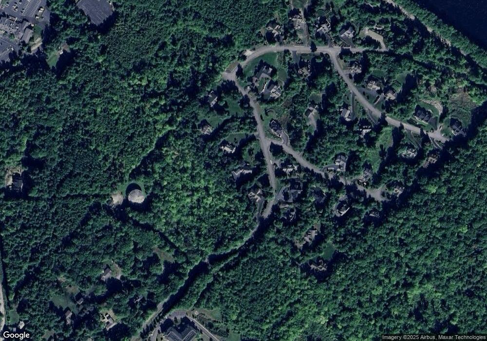
Map
Nearby Homes
- 4 Mountain Ridge Dr
- 16 Bay Ridge Dr
- 21 Upper Ladd Hill Rd Unit A
- 21 Upper Ladd Hill Rd Unit E
- 21 Upper Ladd Hill Rd Unit D
- 21 Upper Ladd Hill Rd Unit C
- 21 Upper Ladd Hill Rd Unit B
- 2 Bayshore Dr
- 33 Eastbluff Village
- 1 E Bluff Highlands Unit 8
- 21 S Watch Rd
- 8 Water St Unit 2
- 12 Highland St
- 11 Highland St
- 11 & 12 Highland St
- 21 Pleasant St
- 15 Highland St
- 23 Highland St
- 11 Morrison Ave
- 83 Tracy Way
- 112 Upper Mile Point Dr
- 92 Upper Mile Point Dr
- 18G Mile Point Dr
- 1 Mountain Ridge Dr
- 97 Upper Mile Point Dr
- 00 Upper Mile Point Dr
- 95 Upper Mile Point Dr
- 114 Upper Mile Point Dr
- 4 Mountain Ridge Rd
- 4 Mountain Ridge Rd
- 4 Mountain Ridge Rd
- 93 Upper Mile Point Dr
- 9 Mountain Ridge Dr
- 21&Slip 8 Mountain Ridge Dr
- 91 Upper Mile Point Dr
- 115 Upper Mile Point Dr
- 8 Mountain Ridge Rd
- 8 Mountain Ridge Rd
- 12 Mountain Ridge Rd
- 119 Upper Mile Point Dr