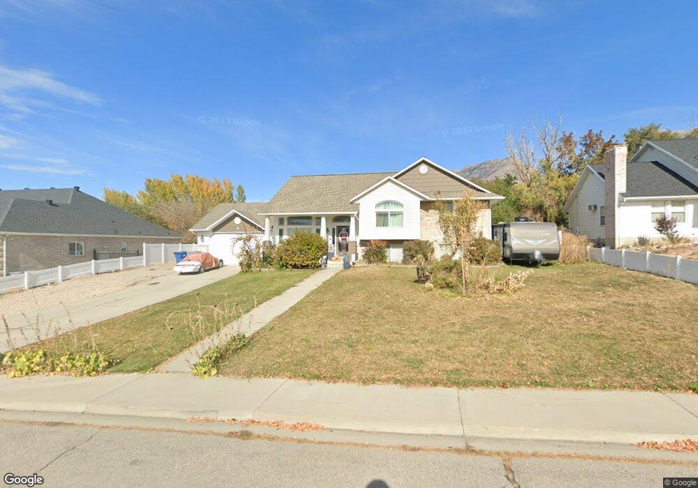
94 W 725 N Lindon, UT 84042
Estimated Value: $721,000 - $801,000
4
Beds
3
Baths
2,861
Sq Ft
$266/Sq Ft
Est. Value
About This Home
This home is located at 94 W 725 N, Lindon, UT 84042 and is currently estimated at $759,871, approximately $265 per square foot. 94 W 725 N is a home located in Utah County with nearby schools including Lindon Elementary School, Oak Canyon Junior High School, and Pleasant Grove High School.
Ownership History
Date
Name
Owned For
Owner Type
Purchase Details
Closed on
Jul 1, 2024
Sold by
Ward Douglas B and Ward Deborah Ruth
Bought by
Ward Deborah Ruth and Ward Douglas B
Current Estimated Value
Home Financials for this Owner
Home Financials are based on the most recent Mortgage that was taken out on this home.
Original Mortgage
$60,000
Outstanding Balance
$57,073
Interest Rate
6.24%
Mortgage Type
New Conventional
Estimated Equity
$702,798
Purchase Details
Closed on
Oct 29, 2002
Sold by
Ward Douglas B
Bought by
Ward Douglas B and Ward Deborah Ruth
Home Financials for this Owner
Home Financials are based on the most recent Mortgage that was taken out on this home.
Original Mortgage
$217,550
Interest Rate
5.99%
Purchase Details
Closed on
Mar 19, 1999
Sold by
Ward Douglas B
Bought by
Ward Douglas B and Ward Deborah Ruth
Home Financials for this Owner
Home Financials are based on the most recent Mortgage that was taken out on this home.
Original Mortgage
$184,500
Interest Rate
6.73%
Create a Home Valuation Report for This Property
The Home Valuation Report is an in-depth analysis detailing your home's value as well as a comparison with similar homes in the area
Home Values in the Area
Average Home Value in this Area
Purchase History
| Date | Buyer | Sale Price | Title Company |
|---|---|---|---|
| Ward Deborah Ruth | -- | Utah First Title | |
| Ward Douglas B | -- | First American Title Co | |
| Ward Douglas B | -- | First American Title Co | |
| Ward Douglas B | -- | Sundance Title Insurance |
Source: Public Records
Mortgage History
| Date | Status | Borrower | Loan Amount |
|---|---|---|---|
| Open | Ward Deborah Ruth | $60,000 | |
| Previous Owner | Ward Douglas B | $217,550 | |
| Previous Owner | Ward Douglas B | $52,500 | |
| Previous Owner | Ward Douglas B | $184,500 |
Source: Public Records
Tax History
| Year | Tax Paid | Tax Assessment Tax Assessment Total Assessment is a certain percentage of the fair market value that is determined by local assessors to be the total taxable value of land and additions on the property. | Land | Improvement |
|---|---|---|---|---|
| 2025 | $2,809 | $382,085 | -- | -- |
| 2024 | $2,809 | $346,225 | $0 | $0 |
| 2023 | $2,575 | $341,000 | $0 | $0 |
| 2022 | $2,677 | $342,430 | $0 | $0 |
| 2021 | $2,187 | $421,900 | $283,900 | $138,000 |
| 2020 | $2,058 | $390,800 | $258,100 | $132,700 |
| 2019 | $1,734 | $343,500 | $210,800 | $132,700 |
| 2018 | $1,609 | $300,400 | $185,000 | $115,400 |
| 2017 | $1,603 | $160,490 | $0 | $0 |
| 2016 | $1,534 | $142,120 | $0 | $0 |
| 2015 | $1,563 | $136,840 | $0 | $0 |
| 2014 | $1,423 | $123,420 | $0 | $0 |
Source: Public Records
Map
Nearby Homes
Your Personal Tour Guide
Ask me questions while you tour the home.