Estimated Value: $128,000 - $132,973
2
Beds
1
Bath
1,600
Sq Ft
$81/Sq Ft
Est. Value
About This Home
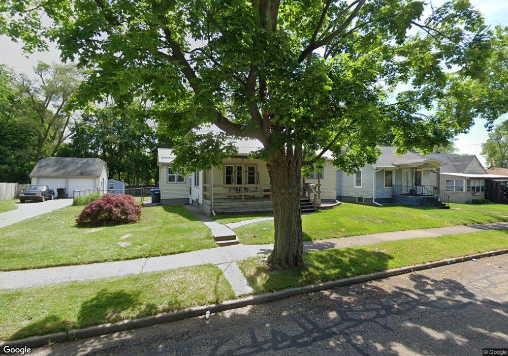
This home is located at 94 Yale St, Battle Creek, MI 49017 and is currently estimated at $129,493, approximately $80 per square foot. 94 Yale St is a home located in Calhoun County with nearby schools including Verona Elementary School, Northwestern Middle School, and Battle Creek Central High School.
Ownership History
Date
Name
Owned For
Owner Type
Purchase Details
Closed on
Nov 15, 2011
Sold by
Dove Donna Jean
Bought by
Mitchell Tracy
Current Estimated Value
Home Financials for this Owner
Home Financials are based on the most recent Mortgage that was taken out on this home.
Original Mortgage
$37,976
Outstanding Balance
$26,021
Interest Rate
4.12%
Mortgage Type
FHA
Estimated Equity
$103,472
Purchase Details
Closed on
Nov 30, 2007
Sold by
Dove Donna Jean
Bought by
Westerman Preston and Dove Donna Jean
Purchase Details
Closed on
Sep 20, 2007
Sold by
Dove Donna Jean
Bought by
Dove Donna J and Donna J Dove Trust
Purchase Details
Closed on
Jun 11, 2005
Sold by
Dove Donna Jean and Paige Charles L
Bought by
Dove Donna Jean
Purchase Details
Closed on
Jan 14, 2002
Sold by
Dove Donna J
Bought by
Dove Dove D and Dove Paige,Chas L
Create a Home Valuation Report for This Property
The Home Valuation Report is an in-depth analysis detailing your home's value as well as a comparison with similar homes in the area
Home Values in the Area
Average Home Value in this Area
Purchase History
| Date | Buyer | Sale Price | Title Company |
|---|---|---|---|
| Mitchell Tracy | $39,000 | None Available | |
| Dove Donna Jean | -- | None Available | |
| Dove Donna Jean | -- | Ppr | |
| Westerman Preston | -- | None Available | |
| Dove Donna J | -- | Ct | |
| Dove Donna Jean | -- | Otc | |
| Dove Dove D | -- | -- |
Source: Public Records
Mortgage History
| Date | Status | Borrower | Loan Amount |
|---|---|---|---|
| Open | Dove Donna Jean | $37,976 |
Source: Public Records
Tax History Compared to Growth
Tax History
| Year | Tax Paid | Tax Assessment Tax Assessment Total Assessment is a certain percentage of the fair market value that is determined by local assessors to be the total taxable value of land and additions on the property. | Land | Improvement |
|---|---|---|---|---|
| 2025 | -- | $51,800 | $0 | $0 |
| 2024 | $1,225 | $46,893 | $0 | $0 |
| 2023 | $1,400 | $39,921 | $0 | $0 |
| 2022 | $1,107 | $35,388 | $0 | $0 |
| 2021 | $1,321 | $31,219 | $0 | $0 |
| 2020 | $1,243 | $30,731 | $0 | $0 |
| 2019 | $1,238 | $29,452 | $0 | $0 |
| 2018 | $1,238 | $30,655 | $1,558 | $29,097 |
| 2017 | $1,200 | $31,750 | $0 | $0 |
| 2016 | $1,198 | $27,376 | $0 | $0 |
| 2015 | $1,213 | $25,869 | $4,421 | $21,448 |
| 2014 | $1,213 | $26,327 | $4,421 | $21,906 |
Source: Public Records
Map
Nearby Homes
- 228 East Ave N
- 40 Oxford St
- 174 East Ave N
- 495 Emmett St E
- 292 Hunter St
- 758 Roosevelt Ave E
- 731 Roosevelt Ave E
- 179 Bryant St
- 0 Capital Ave NE
- 186 Bryant St
- 37 Convis St
- 28 Convis St
- 723 Capital Ave NE
- 276 Mckinley Ave N
- 21 Bradley St
- 21 Bryant St
- 124 Broad St N
- 52 Maple Grove Ave
- 0 Hopkins St
- 20 Piper Ave