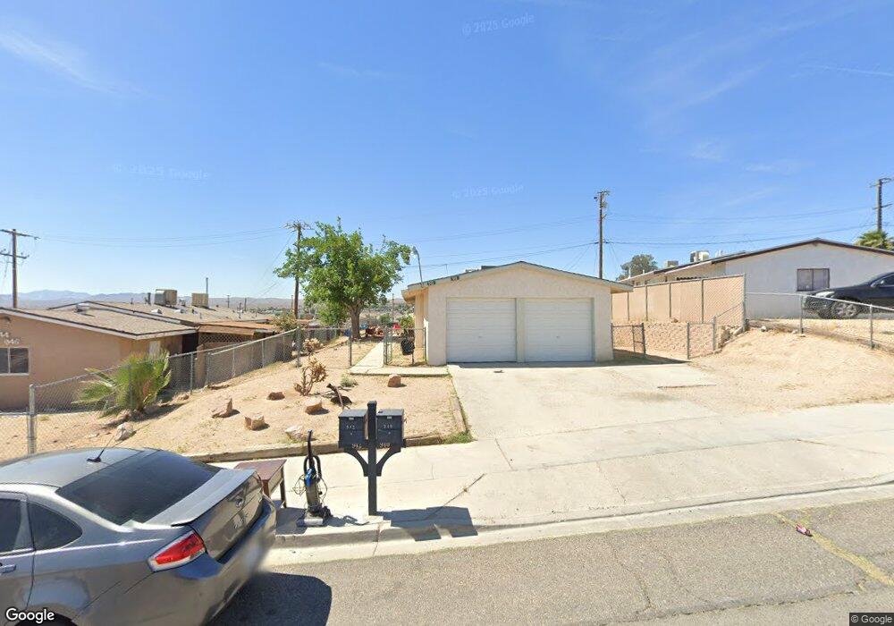
940 Carson St Barstow, CA 92311
Estimated Value: $249,000 - $284,000
4
Beds
2
Baths
1,550
Sq Ft
$167/Sq Ft
Est. Value
About This Home
This home is located at 940 Carson St, Barstow, CA 92311 and is currently estimated at $259,416, approximately $167 per square foot. 940 Carson St is a home located in San Bernardino County with nearby schools including Barstow Junior High School and Barstow High School.
Ownership History
Date
Name
Owned For
Owner Type
Purchase Details
Closed on
Jul 24, 2019
Sold by
Taylor Thoko
Bought by
Taylor Thomas Louis
Current Estimated Value
Purchase Details
Closed on
Jul 18, 2019
Sold by
Taylor Thomas Louis
Bought by
Liu Dong Xu
Purchase Details
Closed on
Oct 23, 2001
Sold by
Klies John J and Klies Casey G
Bought by
Taylor Thomas Louis
Create a Home Valuation Report for This Property
The Home Valuation Report is an in-depth analysis detailing your home's value as well as a comparison with similar homes in the area
Home Values in the Area
Average Home Value in this Area
Purchase History
| Date | Buyer | Sale Price | Title Company |
|---|---|---|---|
| Taylor Thomas Louis | -- | Stewart Title Of Ca Inc | |
| Liu Dong Xu | $145,000 | Stewart Title Of Ca Inc | |
| Taylor Thomas Louis | -- | -- |
Source: Public Records
Tax History
| Year | Tax Paid | Tax Assessment Tax Assessment Total Assessment is a certain percentage of the fair market value that is determined by local assessors to be the total taxable value of land and additions on the property. | Land | Improvement |
|---|---|---|---|---|
| 2025 | $1,798 | $158,578 | $21,872 | $136,706 |
| 2024 | $1,766 | $155,468 | $21,443 | $134,025 |
| 2023 | $1,728 | $152,420 | $21,023 | $131,397 |
| 2022 | $1,722 | $149,432 | $20,611 | $128,821 |
| 2021 | $1,672 | $146,502 | $20,207 | $126,295 |
| 2020 | $1,675 | $145,000 | $20,000 | $125,000 |
| 2019 | $824 | $72,838 | $19,865 | $52,973 |
| 2018 | $864 | $71,409 | $19,475 | $51,934 |
| 2017 | $782 | $70,009 | $19,093 | $50,916 |
| 2016 | $772 | $68,637 | $18,719 | $49,918 |
| 2015 | $756 | $67,606 | $18,438 | $49,168 |
| 2014 | $751 | $66,282 | $18,077 | $48,205 |
Source: Public Records
Map
Nearby Homes
- 912 Kelly Dr
- 660 Kathleen Dr
- 820 Lillian Dr
- 611 Lillian Dr
- 620 Kathleen Dr
- 937 E Elizabeth St
- 700 Agnes Dr
- 905 E Elizabeth St
- 610 Agnes Dr
- 561 Frances Dr
- 540 Frances Dr
- 541 Frances Dr
- 917 Ann St
- 840 E Virginia Way
- 36631 Western Whip Ct
- 36630 Western Whip Ct
- 1148 E Virginia Way
- 621 Stevens Ave
- 0 Helen Runyon Dr
- 317-319 Melissa Ave
Your Personal Tour Guide
Ask me questions while you tour the home.